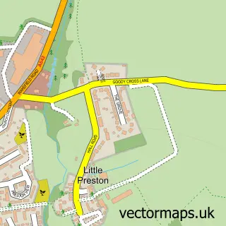
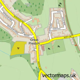
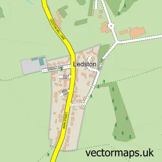
This Garforth street map is a detailed vector street map covering a 750m x 750m area. Select a larger area to create and download your own vector street map of Garforth.
The 750-metre map sample for Garforth covers 618 mapped buildings and approximately 18.4 km of road detail, of which 44 named roads are named. The immediate area includes 1 school, 1 GP surgery, with 5 within 2 miles, 5 pubs and 6 MOT stations within 2 miles. The wider area around Garforth features 3 tourism points of interest, 10 food and drink venues and 1 hotel. To create a larger or custom map of Garforth, the map builder lets you define your own coverage area and download editable SVG, PDF and PNG files.
Create a larger editable map of Garforth
Choose any area you need and generate a high-quality vector map instantly. Perfect for print, planning, design, business and personal use.

This Garforth street map in West Yorkshire is available as downloadable SVG, PDF and PNG map files, or as a printed map for planning, business, display, education, local information and design work. You can also create a larger custom map area using the map selector.
What this Garforth map sample shows
Garforth lies within Leeds District (B) parish, part of Garforth & Swillington ward in the Leeds District (B) local authority area. The postcode geography for this area includes the LS postcode area, the LS25 postcode district and the LS25 1 postcode sector. Residents fall under the Nhs West Yorkshire Integrated Care Board for NHS services.
Local features near Garforth
Within 2 milesAmenities and services in and around Garforth.
Administrative and postcode information for Garforth
The local authority covering Garforth is Leeds District (B), within the county of West Yorkshire. The settlement lies within Garforth & Swillington ward and Leeds District (B) civil parish. The LS25 postcode district and LS25 1 postcode sector serve the immediate area. NHS provision in the area is delivered through Leeds Teaching Hospitals Nhs Trust.
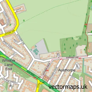
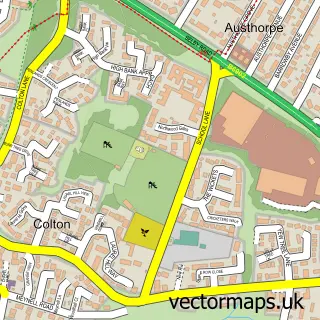
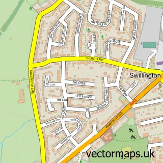
Nearby street map samples around Garforth

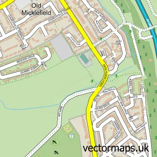
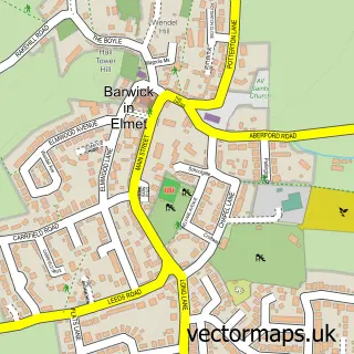
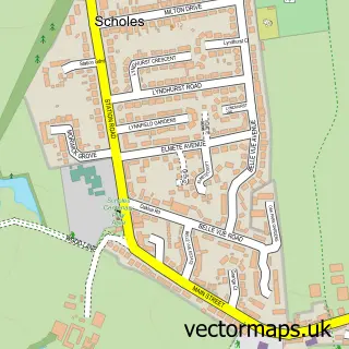
More street maps in West Yorkshire
750 metre map area coverage
Boundary, postcode and point of interest information for the 750m x 750m rectangle centred on this sample map.
Boundaries containing map centre
Constituency: Leeds East Co Const
District: Leeds District (B)
Icb: NHS West Yorkshire ICB
Police Force: west yorkshire
Postcode District: LS25
Postcode Sector: LS25 1
Ward: Garforth & Swillington Ward
Nearby boundaries intersecting sample
No additional intersecting boundaries found.
Postcode coverage
POI category counts
Pub: 5
Real Estate Agent: 5
Coffee Shop: 4
Dentist: 4
Doctor: 4
Hair Salon: 4
Bar: 3
Beauty Salon: 3
Financial Service: 3
Accountant: 2
Sample points of interest
- Business Works UK
- Cutler & Co Accountants
- Dance Zumba - Charlotte Martin
- Indergaard Physiotherapy
- Julia Waterton
- ATM (Post Office)
- PayPoint
- HSBC Bank
- Garforth Working Men’s Club - The Original
- Loose Booty Funk & Soul Club
- The Bar With No Name
- Bh Barbers
Create a larger editable map of Garforth
This sample shows only a 750 metre area. To create a larger map of Garforth, use our map builder to choose your own coverage area, add titles and download editable SVG, PDF and PNG files.
Create a custom map of Garforth