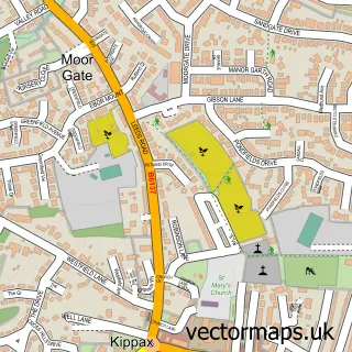
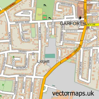
This Micklefield street map is a detailed vector street map covering a 750m x 750m area. Select a larger area to create and download your own vector street map of Micklefield.
The 750-metre map sample for Micklefield covers 425 mapped buildings and approximately 15.6 km of road detail, of which 15 named roads are named. The immediate area includes 1 school and 1 MOT station within 2 miles. The wider area around Micklefield features 1 food and drink venue. To create a larger or custom map of Micklefield, the map builder lets you define your own coverage area and download editable SVG, PDF and PNG files.
Create a larger editable map of Micklefield
Choose any area you need and generate a high-quality vector map instantly. Perfect for print, planning, design, business and personal use.

This Micklefield street map in West Yorkshire is available as downloadable SVG, PDF and PNG map files, or as a printed map for planning, business, display, education, local information and design work. You can also create a larger custom map area using the map selector.
What this Micklefield map sample shows
Micklefield lies within Micklefield Cp parish, part of Kippax & Methley ward in the Leeds District (B) local authority area. The postcode geography for this area includes the LS postcode area, the LS25 postcode district and the LS25 4 postcode sector. Residents fall under the Nhs West Yorkshire Integrated Care Board for NHS services.
Local features near Micklefield
Within 2 milesAmenities and services in and around Micklefield.
Administrative and postcode information for Micklefield
The local authority covering Micklefield is Leeds District (B), within the county of West Yorkshire. The settlement lies within Kippax & Methley ward and Micklefield Cp civil parish. The LS25 postcode district and LS25 4 postcode sector serve the immediate area. NHS provision in the area is delivered through Leeds Teaching Hospitals Nhs Trust.
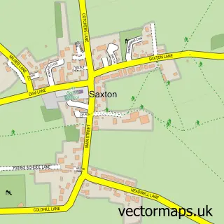
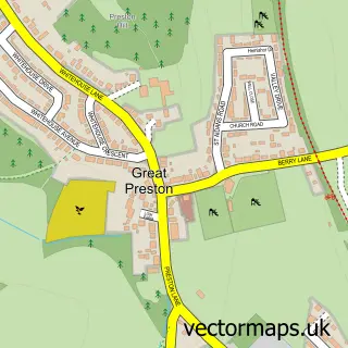
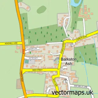
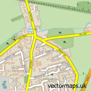
Nearby street map samples around Micklefield


More street maps in West Yorkshire
750 metre map area coverage
Boundary, postcode and point of interest information for the 750m x 750m rectangle centred on this sample map.
Boundaries containing map centre
Constituency: Selby Co Const
District: Leeds District (B)
Icb: NHS West Yorkshire ICB
Parish: Micklefield CP
Police Force: west yorkshire
Postcode District: LS25
Postcode Sector: LS25 4
Ward: Kippax & Methley Ward
Nearby boundaries intersecting sample
No additional intersecting boundaries found.
Postcode coverage
POI category counts
Convenience Store: 2
Elementary School: 2
Home Developer: 2
Awning Supplier: 1
Bakery: 1
Bangladeshi Restaurant: 1
Beach: 1
Beauty Salon: 1
Cafe: 1
Courier And Delivery Services: 1
Sample points of interest
- Alcas Patio Awnings
- All The Frosting
- Bengal cottage - Micklefield
- Scarborough North Bay Beach
- The Treatment Hut
- Snack Box
- Best-One
- D & P Churchville Village Store
- Evri ParcelShop
- South Milford Surgery - Micklefield
- Micklefield C of E Primary School
- Micklefield Primary School
Create a larger editable map of Micklefield
This sample shows only a 750 metre area. To create a larger map of Micklefield, use our map builder to choose your own coverage area, add titles and download editable SVG, PDF and PNG files.
Create a custom map of Micklefield