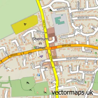
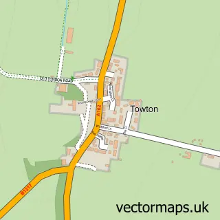
This Barkston Ash street map is a detailed vector street map covering a 750m x 750m area. Select a larger area to create and download your own vector street map of Barkston Ash.
The 750-metre map sample for Barkston Ash covers 205 mapped buildings and approximately 15.3 km of road detail, of which 15 named roads are named. The immediate area includes 1 school, 1 GP surgery within 2 miles, 1 pub and 3 MOT stations within 2 miles. The wider area around Barkston Ash features 1 tourism point of interest, 1 food and drink venue and 1 hotel. To create a larger or custom map of Barkston Ash, the map builder lets you define your own coverage area and download editable SVG, PDF and PNG files.
Create a larger editable map of Barkston Ash
Choose any area you need and generate a high-quality vector map instantly. Perfect for print, planning, design, business and personal use.

This Barkston Ash street map in North Yorkshire is available as downloadable SVG, PDF and PNG map files, or as a printed map for planning, business, display, education, local information and design work. You can also create a larger custom map area using the map selector.
What this Barkston Ash map sample shows
Barkston Ash lies within Barkston Ash Cp parish, part of Appleton Roebuck & Church Fenton ward in the North Yorkshire local authority area. The postcode geography for this area includes the LS postcode area, the LS24 postcode district and the LS24 9 postcode sector. Residents fall under the Nhs Humber And North Yorkshire Integrated Care Board for NHS services.
Local features near Barkston Ash
Within 2 milesAmenities and services in and around Barkston Ash.
Administrative and postcode information for Barkston Ash
The local authority covering Barkston Ash is North Yorkshire, within the county of North Yorkshire. The settlement lies within Appleton Roebuck & Church Fenton ward and Barkston Ash Cp civil parish. The LS24 postcode district and LS24 9 postcode sector serve the immediate area. NHS provision in the area is delivered through York And Scarborough Teaching Hospitals Nhs Foundation Trust.
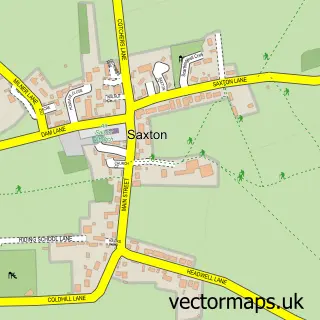
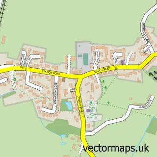
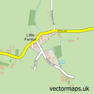
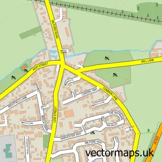
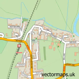
Nearby street map samples around Barkston Ash

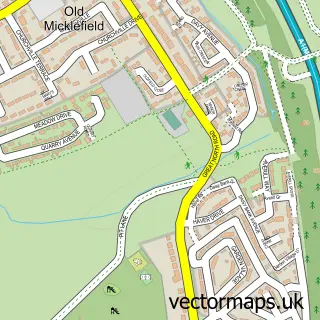

More street maps in North Yorkshire
750 metre map area coverage
Boundary, postcode and point of interest information for the 750m x 750m rectangle centred on this sample map.
Boundaries containing map centre
Constituency: Wetherby and Easingwold Co Const
District: North Yorkshire
Icb: NHS Humber and North Yorkshire ICB
Parish: Barkston Ash CP
Police Force: north yorkshire
Postcode District: LS24
Postcode Sector: LS24 9
Nearby boundaries intersecting sample
Parish: Saxton with Scarthingwell CP
Postcode coverage
POI category counts
Alternative Medicine: 1
Anglican Church: 1
Assisted Living Facility: 1
Automotive Parts And Accessories: 1
Bed And Breakfast: 1
Community Center: 1
Elementary School: 1
Gardener: 1
Hotel: 1
Laboratory Testing: 1
Sample points of interest
- Flutterbabies
- Holy Trinity
- Barchester - Highfield Care Home
- Fleetwyse
- Old Presbytery Guest House
- Barkston Ash Village Hall
- Barkston Ash Catholic Primary School
- Eco Garden Maintenance
- The Grayson Hotel
- Legal & Technical Assessors
- Scarthingwell Park
- BRB Heating and Plumbing
Create a larger editable map of Barkston Ash
This sample shows only a 750 metre area. To create a larger map of Barkston Ash, use our map builder to choose your own coverage area, add titles and download editable SVG, PDF and PNG files.
Create a custom map of Barkston Ash