This Aberford street map is a detailed vector street map covering a 750m x 750m area. Select a larger area to create and download your own vector street map of Aberford.
The 750-metre map sample for Aberford covers 182 mapped buildings and approximately 15.3 km of road detail, of which 17 named roads are named. The immediate area includes 1 school and 4 pubs. The wider area around Aberford features 1 tourism point of interest and 5 food and drink venues. To create a larger or custom map of Aberford, the map builder lets you define your own coverage area and download editable SVG, PDF and PNG files.
Create a larger editable map of Aberford
Choose any area you need and generate a high-quality vector map instantly. Perfect for print, planning, design, business and personal use.

This Aberford street map in West Yorkshire is available as downloadable SVG, PDF and PNG map files, or as a printed map for planning, business, display, education, local information and design work. You can also create a larger custom map area using the map selector.
What this Aberford map sample shows
Aberford lies within Aberford Cp parish, part of Harewood ward in the Leeds District (B) local authority area. The postcode geography for this area includes the LS postcode area, the LS25 postcode district and the LS25 3 postcode sector. Residents fall under the Nhs West Yorkshire Integrated Care Board for NHS services.
Local features near Aberford
Within 2 milesAmenities and services in and around Aberford.
Administrative and postcode information for Aberford
The local authority covering Aberford is Leeds District (B), within the county of West Yorkshire. The settlement lies within Harewood ward and Aberford Cp civil parish. The LS25 postcode district and LS25 3 postcode sector serve the immediate area. NHS provision in the area is delivered through Leeds Teaching Hospitals Nhs Trust.
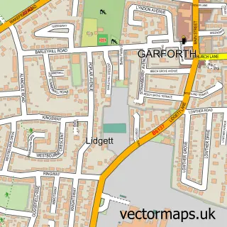
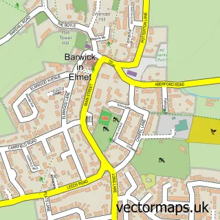
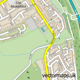
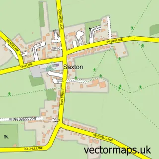
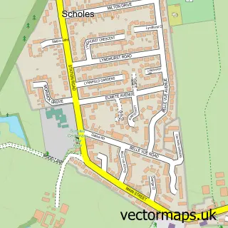
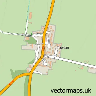
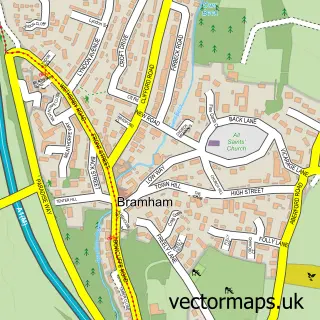
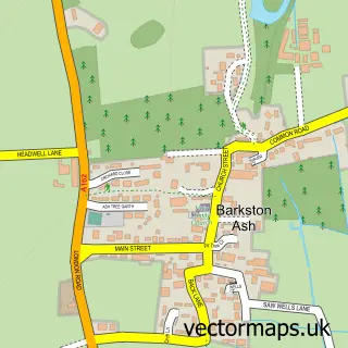
Nearby street map samples around Aberford

More street maps in West Yorkshire
750 metre map area coverage
Boundary, postcode and point of interest information for the 750m x 750m rectangle centred on this sample map.
Boundaries containing map centre
Constituency: Wetherby and Easingwold Co Const
District: Leeds District (B)
Icb: NHS West Yorkshire ICB
Parish: Lotherton cum Aberford CP
Police Force: west yorkshire
Postcode District: LS25
Postcode Sector: LS25 3
Ward: Harewood Ward
Nearby boundaries intersecting sample
Parish: Aberford CP, Parlington CP
Postcode coverage
POI category counts
Pub: 4
Beauty Salon: 2
Church Cathedral: 2
Active Life: 1
Bed And Breakfast: 1
Bridge: 1
Broadcasting Media Production: 1
Cafe: 1
Community Center: 1
Counseling And Mental Health: 1
Sample points of interest
- Parlington Woods, Aberford
- B Beautiful Hair And Beauty Salon
- Olamic Skin
- Pumpkin Cottage
- Cock Beck Bridge
- PGFM
- Aberford Community Cafe
- Aberford Parish Church of Saint Ricarius
- St Ricarius' Church
- Aberford Village Hall
- Aberford Wellbeing
- The Surgery
Create a larger editable map of Aberford
This sample shows only a 750 metre area. To create a larger map of Aberford, use our map builder to choose your own coverage area, add titles and download editable SVG, PDF and PNG files.
Create a custom map of Aberford