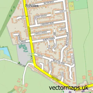
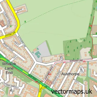
This Barwick in Elmet street map is a detailed vector street map covering a 750m x 750m area. Select a larger area to create and download your own vector street map of Barwick in Elmet.
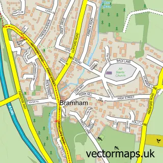
The 750-metre map sample for Barwick in Elmet covers 500 mapped buildings and approximately 16.4 km of road detail, of which 35 named roads are named. The immediate area includes 1 school, 3 pubs and 1 MOT station within 2 miles. The wider area around Barwick in Elmet features 1 tourism point of interest and 3 food and drink venues. To create a larger or custom map of Barwick in Elmet, the map builder lets you define your own coverage area and download editable SVG, PDF and PNG files.
Create a larger editable map of Barwick in Elmet
Choose any area you need and generate a high-quality vector map instantly. Perfect for print, planning, design, business and personal use.

This Barwick in Elmet street map in West Yorkshire is available as downloadable SVG, PDF and PNG map files, or as a printed map for planning, business, display, education, local information and design work. You can also create a larger custom map area using the map selector.
What this Barwick in Elmet map sample shows
Barwick in Elmet lies within Barwick In Elmet And Scholes Cp parish, part of Harewood ward in the Leeds District (B) local authority area. The postcode geography for this area includes the LS postcode area, the LS15 postcode district and the LS15 4 postcode sector. Residents fall under the Nhs West Yorkshire Integrated Care Board for NHS services.
Local features near Barwick in Elmet
Within 2 milesAmenities and services in and around Barwick in Elmet.
Administrative and postcode information for Barwick in Elmet
The local authority covering Barwick in Elmet is Leeds District (B), within the county of West Yorkshire. The settlement lies within Harewood ward and Barwick In Elmet And Scholes Cp civil parish. The LS15 postcode district and LS15 4 postcode sector serve the immediate area. NHS provision in the area is delivered through Leeds Teaching Hospitals Nhs Trust.
Nearby street map samples around Barwick in Elmet
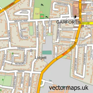

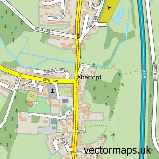
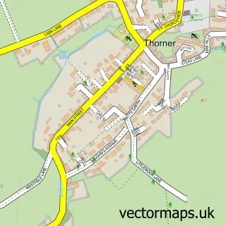
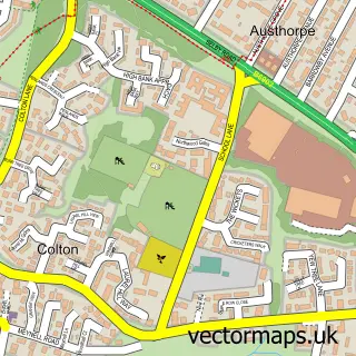
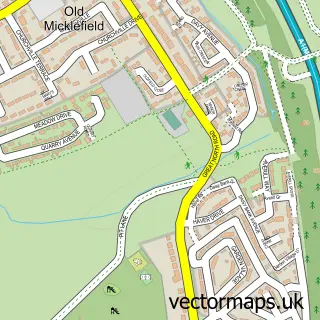
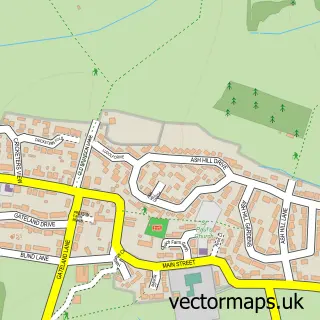
More street maps in West Yorkshire
750 metre map area coverage
Boundary, postcode and point of interest information for the 750m x 750m rectangle centred on this sample map.
Boundaries containing map centre
Constituency: Wetherby and Easingwold Co Const
District: Leeds District (B)
Icb: NHS West Yorkshire ICB
Parish: Barwick in Elmet and Scholes CP
Police Force: west yorkshire
Postcode District: LS15
Postcode Sector: LS15 4
Ward: Harewood Ward
Nearby boundaries intersecting sample
No additional intersecting boundaries found.
Postcode coverage
POI category counts
Pub: 3
Church Cathedral: 2
Community Services Non Profits: 2
Post Office: 2
Professional Services: 2
Tutoring Center: 2
Advertising Agency: 1
Amateur Sports Team: 1
Anglican Church: 1
Appliance Repair Service: 1
Sample points of interest
- Elmet Screencraft
- Barwick Bowling Club
- All Saints', Barwick-in-Elmet
- Jim Lowther Appliance Repairs
- Plan-Pro-UK Ltd.
- Plan Pro UK Limited
- Carl Whitfield
- Adept Mortgage Solutions
- Crystal Custom Campers
- Crystal Custom Campers
- Barwick Barbers
- Amore Aesthetics & Beauty
Create a larger editable map of Barwick in Elmet
This sample shows only a 750 metre area. To create a larger map of Barwick in Elmet, use our map builder to choose your own coverage area, add titles and download editable SVG, PDF and PNG files.
Create a custom map of Barwick in Elmet