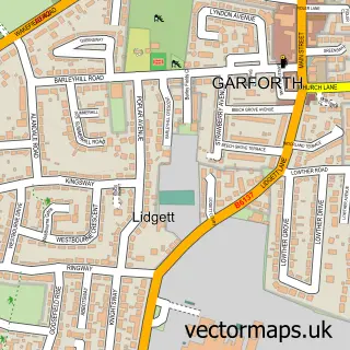
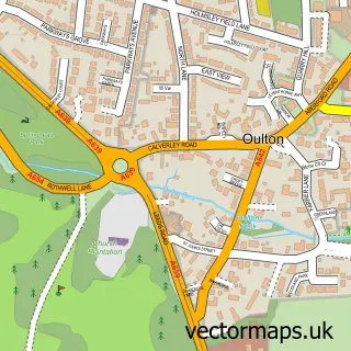
This Colton street map is a detailed vector street map covering a 750m x 750m area. Select a larger area to create and download your own vector street map of Colton.
The 750-metre map sample for Colton covers 532 mapped buildings and approximately 16.7 km of road detail, of which 50 named roads are named. The immediate area includes 1 school, 7 GP surgeries within 2 miles and 4 MOT stations within 2 miles. The wider area around Colton features 3 food and drink venues. To create a larger or custom map of Colton, the map builder lets you define your own coverage area and download editable SVG, PDF and PNG files.
Create a larger editable map of Colton
Choose any area you need and generate a high-quality vector map instantly. Perfect for print, planning, design, business and personal use.

This Colton street map in West Yorkshire is available as downloadable SVG, PDF and PNG map files, or as a printed map for planning, business, display, education, local information and design work. You can also create a larger custom map area using the map selector.
What this Colton map sample shows
Colton lies within Leeds District (B) parish, part of Cross Gates & Whinmoor ward in the Leeds District (B) local authority area. The postcode geography for this area includes the LS postcode area, the LS15 postcode district and the LS15 8 postcode sector. Residents fall under the Nhs West Yorkshire Integrated Care Board for NHS services.
Local features near Colton
Within 2 milesAmenities and services in and around Colton.
Administrative and postcode information for Colton
The local authority covering Colton is Leeds District (B), within the county of West Yorkshire. The settlement lies within Cross Gates & Whinmoor ward and Leeds District (B) civil parish. The LS15 postcode district and LS15 8 postcode sector serve the immediate area. NHS provision in the area is delivered through Leeds Teaching Hospitals Nhs Trust.
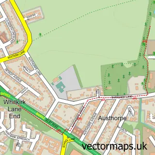
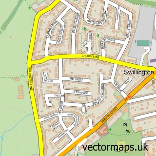
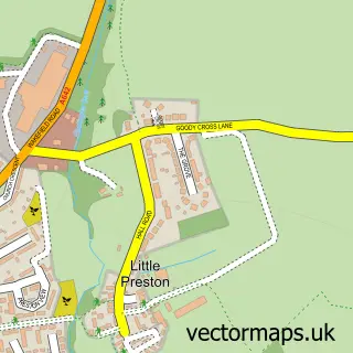
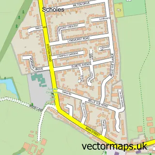
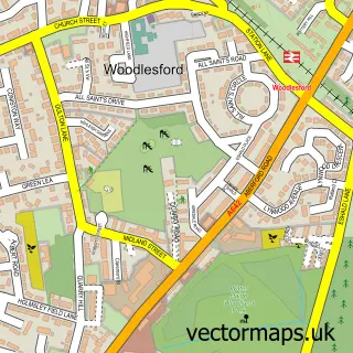
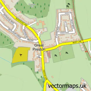
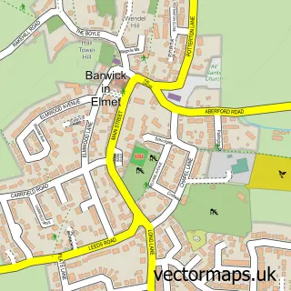
Nearby street map samples around Colton

More street maps in West Yorkshire
750 metre map area coverage
Boundary, postcode and point of interest information for the 750m x 750m rectangle centred on this sample map.
Boundaries containing map centre
Constituency: Leeds East Co Const
District: Leeds District (B)
Icb: NHS West Yorkshire ICB
Police Force: west yorkshire
Postcode District: LS15
Postcode Sector: LS15 9
Ward: Temple Newsam Ward
Nearby boundaries intersecting sample
Postcode Sector: LS15 8
Postcode coverage
POI category counts
Veterinarian: 3
Chiropractor: 2
Coffee Shop: 2
Department Store: 2
Discount Store: 2
Elementary School: 2
Hvac Services: 2
Kiosk: 2
Personal Care Service: 2
Pet Store: 2
Sample points of interest
- Timpson
- Skin and Health
- Just For You Events
- The Colton Mill (Harvester)
- Guttercleanz Rooflines & Property Maintenance
- White-Rose Referrals
- Starbucks UK
- Leeds Beeston Ring Road B&Q
- British Heart Foundation Furniture & Electrical
- Colton Health Hub
- Taylor-Watson Chiropractic
- Colton Methodist Church
Create a larger editable map of Colton
This sample shows only a 750 metre area. To create a larger map of Colton, use our map builder to choose your own coverage area, add titles and download editable SVG, PDF and PNG files.
Create a custom map of Colton