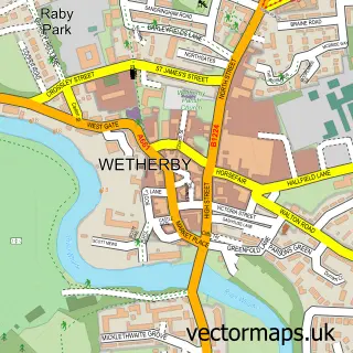
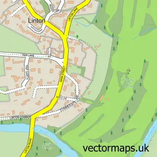
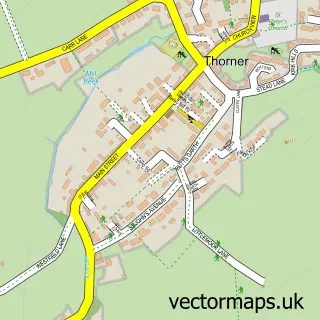
This Bramham street map is a detailed vector street map covering a 750m x 750m area. Select a larger area to create and download your own vector street map of Bramham.
The 750-metre map sample for Bramham covers 381 mapped buildings and approximately 17.3 km of road detail, of which 44 named roads are named. The immediate area includes 1 GP surgery within 2 miles, 2 pubs and 2 MOT stations within 2 miles. The wider area around Bramham features 2 food and drink venues. To create a larger or custom map of Bramham, the map builder lets you define your own coverage area and download editable SVG, PDF and PNG files.
Create a larger editable map of Bramham
Choose any area you need and generate a high-quality vector map instantly. Perfect for print, planning, design, business and personal use.

This Bramham street map in West Yorkshire is available as downloadable SVG, PDF and PNG map files, or as a printed map for planning, business, display, education, local information and design work. You can also create a larger custom map area using the map selector.
What this Bramham map sample shows
Bramham lies within Bramham Cum Oglethorpe Cp parish, part of Wetherby ward in the Leeds District (B) local authority area. The postcode geography for this area includes the LS postcode area, the LS23 postcode district and the LS23 6 postcode sector. Residents fall under the Nhs West Yorkshire Integrated Care Board for NHS services.
Local features near Bramham
Within 2 milesAmenities and services in and around Bramham.
Administrative and postcode information for Bramham
Bramham lies within Bramham Cum Oglethorpe Cp parish, part of Wetherby ward in the Leeds District (B) local authority area. The postcode geography for this area includes the LS postcode area, the LS23 postcode district and the LS23 6 postcode sector. Residents fall under the Nhs West Yorkshire Integrated Care Board for NHS services.
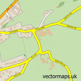
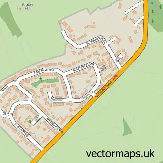
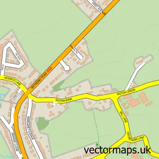
Nearby street map samples around Bramham

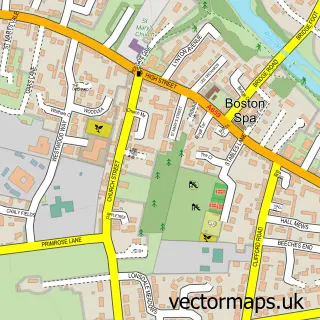
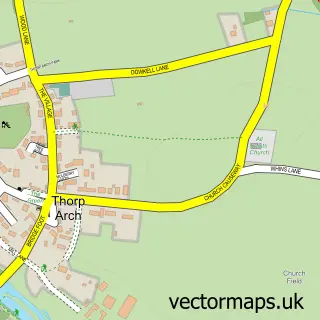
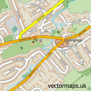
More street maps in West Yorkshire
750 metre map area coverage
Boundary, postcode and point of interest information for the 750m x 750m rectangle centred on this sample map.
Boundaries containing map centre
Constituency: Wetherby and Easingwold Co Const
District: Leeds District (B)
Icb: NHS West Yorkshire ICB
Parish: Bramham cum Oglethorpe CP
Police Force: west yorkshire
Postcode District: LS23
Postcode Sector: LS23 6
Ward: Wetherby Ward
Nearby boundaries intersecting sample
No additional intersecting boundaries found.
Postcode coverage
POI category counts
Beauty Salon: 6
Community Center: 2
Korean Grocery Store: 2
Pub: 2
Automotive Repair: 1
Beauty And Spa: 1
Car Dealer: 1
Central Government Office: 1
Church Cathedral: 1
Clothing Store: 1
Sample points of interest
- The Bramham Garage
- Esthétique Care
- ACR Beauty
- Debra Lynn Beauty
- Melissa Hair
- Salon in the Square
- The Beauty Room
- Waxed Wetherby - Intimate waxing specialist
- The Garage Bramham
- Boston Spa Village Hall
- All Saints Church
- Joint Services Clothing Company
Create a larger editable map of Bramham
This sample shows only a 750 metre area. To create a larger map of Bramham, use our map builder to choose your own coverage area, add titles and download editable SVG, PDF and PNG files.
Create a custom map of Bramham