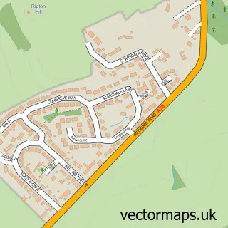
This Thorp Arch street map is a detailed vector street map covering a 750m x 750m area. Select a larger area to create and download your own vector street map of Thorp Arch.
The 750-metre map sample for Thorp Arch covers 112 mapped buildings and approximately 8.0 km of road detail, of which 11 named roads are named. The immediate area includes 1 school, 1 GP surgery within 2 miles, 2 pubs and 3 MOT stations within 2 miles. The wider area around Thorp Arch features 1 tourism point of interest and 3 food and drink venues. To create a larger or custom map of Thorp Arch, the map builder lets you define your own coverage area and download editable SVG, PDF and PNG files.
Create a larger editable map of Thorp Arch
Choose any area you need and generate a high-quality vector map instantly. Perfect for print, planning, design, business and personal use.

This Thorp Arch street map in West Yorkshire is available as downloadable SVG, PDF and PNG map files, or as a printed map for planning, business, display, education, local information and design work. You can also create a larger custom map area using the map selector.
What this Thorp Arch map sample shows
Thorp Arch lies within Thorp Arch Cp parish, part of Wetherby ward in the Leeds District (B) local authority area. The postcode geography for this area includes the LS postcode area, the LS23 postcode district and the LS23 7 postcode sector. Residents fall under the Nhs West Yorkshire Integrated Care Board for NHS services.
Local features near Thorp Arch
Within 2 milesAmenities and services in and around Thorp Arch.
Administrative and postcode information for Thorp Arch
The local authority covering Thorp Arch is Leeds District (B), within the county of West Yorkshire. The settlement lies within Wetherby ward and Thorp Arch Cp civil parish. The LS23 postcode district and LS23 7 postcode sector serve the immediate area. NHS provision in the area is delivered through Harrogate And District Nhs Foundation Trust.
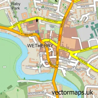
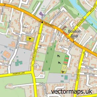
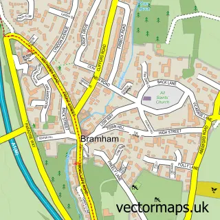
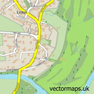
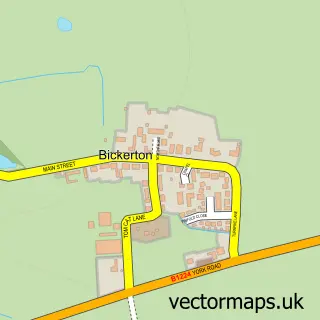
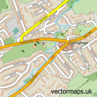
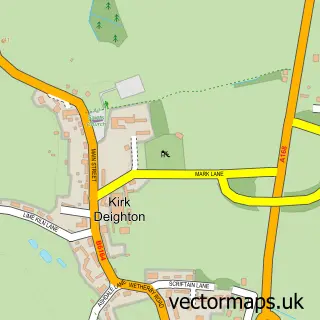
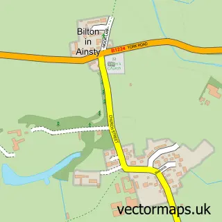
Nearby street map samples around Thorp Arch

More street maps in West Yorkshire
750 metre map area coverage
Boundary, postcode and point of interest information for the 750m x 750m rectangle centred on this sample map.
Boundaries containing map centre
Constituency: Wetherby and Easingwold Co Const
District: Leeds District (B)
Icb: NHS West Yorkshire ICB
Parish: Thorp Arch CP
Police Force: west yorkshire
Postcode District: LS23
Postcode Sector: LS23 7
Ward: Wetherby Ward
Nearby boundaries intersecting sample
Parish: Boston Spa CP
Postcode Sector: LS23 6
Postcode coverage
POI category counts
Furniture Store: 2
Pub: 2
Advertising Agency: 1
Alternative Medicine: 1
Anglican Church: 1
Auto Electrical Repair: 1
Business To Business Services: 1
Cafe: 1
Car Dealer: 1
Education: 1
Sample points of interest
- Sintra
- Norman Spence
- All Saints Church
- Tap Security Systems
- Avacta Animal Health
- The Cafe & Bistro at Thorp Arch
- S C C F Cars LTD Wetherby
- JBC Training
- Lady Elizabeth Hastings
- Tom, Dick and Harry's Restaurant
- M S G
- Atlantas Group
Create a larger editable map of Thorp Arch
This sample shows only a 750 metre area. To create a larger map of Thorp Arch, use our map builder to choose your own coverage area, add titles and download editable SVG, PDF and PNG files.
Create a custom map of Thorp Arch