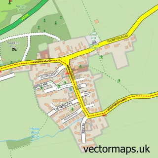
This Kirk Deighton street map is a detailed vector street map covering a 750m x 750m area. Select a larger area to create and download your own vector street map of Kirk Deighton.
The 750-metre map sample for Kirk Deighton covers 98 mapped buildings and approximately 9.6 km of road detail, of which 7 named roads are named. The immediate area includes 2 GP surgeries within 2 miles, 1 pub and 4 MOT stations within 2 miles. The wider area around Kirk Deighton features 1 food and drink venue and 1 hotel. To create a larger or custom map of Kirk Deighton, the map builder lets you define your own coverage area and download editable SVG, PDF and PNG files.
Create a larger editable map of Kirk Deighton
Choose any area you need and generate a high-quality vector map instantly. Perfect for print, planning, design, business and personal use.

This Kirk Deighton street map in North Yorkshire is available as downloadable SVG, PDF and PNG map files, or as a printed map for planning, business, display, education, local information and design work. You can also create a larger custom map area using the map selector.
What this Kirk Deighton map sample shows
Kirk Deighton lies within Kirk Deighton Cp parish, part of Spofforth With Lower Wharfedale ward in the North Yorkshire local authority area. The postcode geography for this area includes the LS postcode area, the LS22 postcode district and the LS22 4 postcode sector. Residents fall under the Nhs Humber And North Yorkshire Integrated Care Board for NHS services.
Local features near Kirk Deighton
Within 2 milesAmenities and services in and around Kirk Deighton.
Administrative and postcode information for Kirk Deighton
Kirk Deighton lies within Kirk Deighton Cp parish, part of Spofforth With Lower Wharfedale ward in the North Yorkshire local authority area. The postcode geography for this area includes the LS postcode area, the LS22 postcode district and the LS22 4 postcode sector. Residents fall under the Nhs Humber And North Yorkshire Integrated Care Board for NHS services.
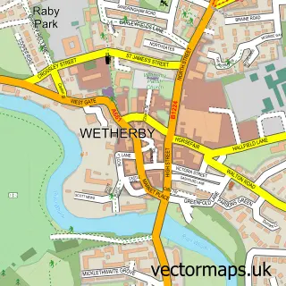
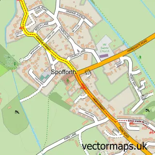
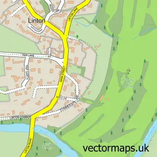
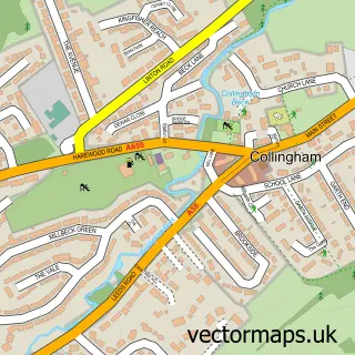
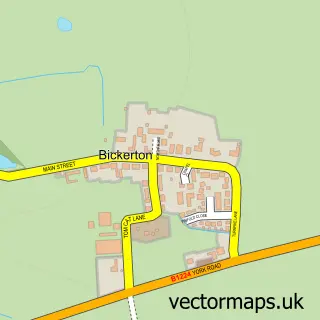
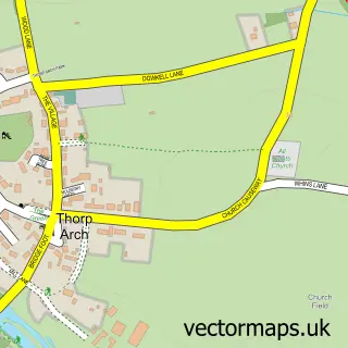
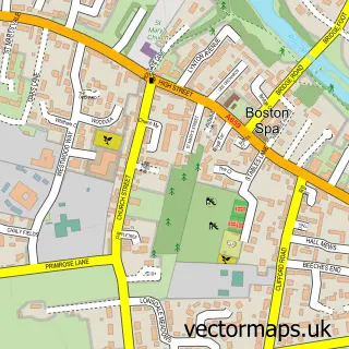
Nearby street map samples around Kirk Deighton

More street maps in North Yorkshire
750 metre map area coverage
Boundary, postcode and point of interest information for the 750m x 750m rectangle centred on this sample map.
Boundaries containing map centre
Constituency: Wetherby and Easingwold Co Const
District: North Yorkshire
Icb: NHS Humber and North Yorkshire ICB
Parish: Kirk Deighton CP
Police Force: north yorkshire
Postcode District: LS22
Postcode Sector: LS22 4
Nearby boundaries intersecting sample
Postcode Sector: LS22 5
Postcode coverage
POI category counts
Building Supply Store: 2
Anglican Church: 1
Business To Business: 1
Car Wash: 1
Church Cathedral: 1
Clothing Store: 1
Community Services Non Profits: 1
Construction Services: 1
Cricket Ground: 1
Financial Service: 1
Sample points of interest
- Kirk Deighton: All Saints
- Unite Construction
- Wetherby Telecommunications
- LEADA Engineering Ltd.
- Wetherby Hand Car Wash
- All Saints' Church
- Central Park Shoes UK
- Flying Futures
- Ashdale Projects Ltd
- Kirk Deighton Cricket Club
- Elland Road Financial Solutions
- Urban Grillers
Create a larger editable map of Kirk Deighton
This sample shows only a 750 metre area. To create a larger map of Kirk Deighton, use our map builder to choose your own coverage area, add titles and download editable SVG, PDF and PNG files.
Create a custom map of Kirk Deighton