Vector Maps logo
Home Why it works Popular maps Districts Samples Customizer Create Your Map
VectorMaps.uk
Home Popular maps Districts Samples Customizer Create Your Map Privacy Disclaimer
Home / UK Maps / North Yorkshire / Cattal Map

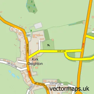
This Cattal street map is a detailed vector street map covering a 750m x 750m area. Select a larger area to create and download your own vector street map of Cattal.

Cattal is a village in North Yorkshire, in the Yorkshire And The Humber of England. Historically, the area formed part of Yorkshire. The settlement falls within the Selby And Ainsty parliamentary constituency. It is served by the YO26 postcode district, w

The 750-metre map sample for Cattal covers 53 mapped buildings and approximately 8.8 km of road detail, of which 4 named roads are named. The immediate area includes 1 GP surgery within 2 miles and 3 MOT stations within 2 miles. To create a larger or custom map of Cattal, the map builder lets you define your own coverage area and download editable SVG, PDF and PNG files.

53Buildings
8.82 kmRoads
4Named roads
1,624Residents within 2 miles
Create your own

Create a larger editable map of Cattal

Choose any area you need and generate a high-quality vector map instantly. Perfect for print, planning, design, business and personal use.

Choose any location
Editable SVG files
Any size up to A0
PDF, PNG & more
Instant download
High quality guaranteed
Create My Custom Map
Secure, private & no credit card required
Cattal Vector Street Map
750m Sample
Cattal vector street map sample showing roads, buildings and local features in a 750 metre preview area
Buy Cattal Map Print from £12.95 Buy Cattal Digital Map from £6

This Cattal street map in North Yorkshire is available as downloadable SVG, PDF and PNG map files, or as a printed map for planning, business, display, education, local information and design work. You can also create a larger custom map area using the map selector.

What this Cattal map sample shows

Cattal lies within Cattal Cp parish, part of Marston Moor ward in the North Yorkshire local authority area. The postcode geography for this area includes the YO postcode area, the YO26 postcode district and the YO26 8 postcode sector. Residents fall under the Nhs Humber And North Yorkshire Integrated Care Board for NHS services.

Local features near Cattal

Within 2 miles

Amenities and services in and around Cattal.

1 GP surgeries within 2 miles
3 MOT stations within 2 miles

Counts are approximate and based on publicly available data.

Administrative and postcode information for Cattal

Cattal lies within Cattal Cp parish, part of Marston Moor ward in the North Yorkshire local authority area. The postcode geography for this area includes the YO postcode area, the YO26 postcode district and the YO26 8 postcode sector. Residents fall under the Nhs Humber And North Yorkshire Integrated Care Board for NHS services.

Parish Cattal CP
Ward Marston Moor
District / local authority North Yorkshire
County North Yorkshire
Historic county Yorkshire
Postcode district YO26
Postcode sector YO26 8
Parliamentary constituency Selby and Ainsty
Region Yorkshire and the Humber
Country England

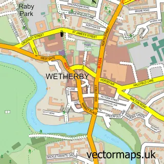
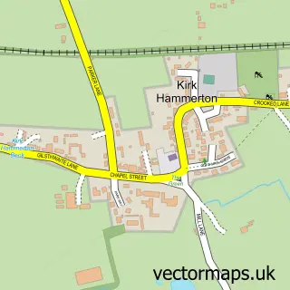
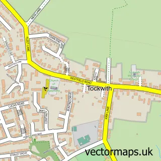
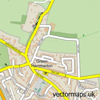
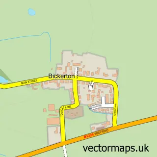
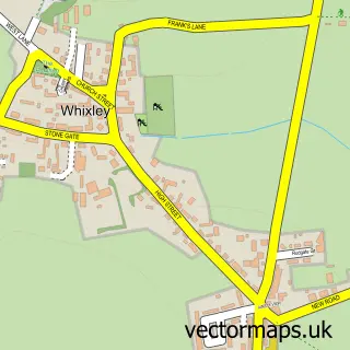
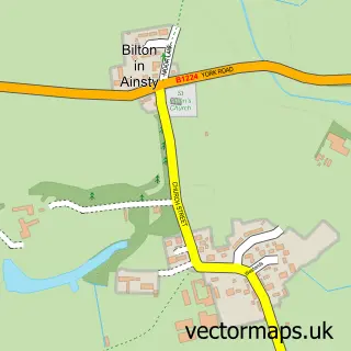
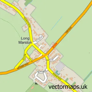
Nearby street map samples around Cattal

Street map sample of Wetherby, West Yorkshire Wetherby Town - West Yorkshire - 4.7 miles Street map sample of York, North Yorkshire York City - North Yorkshire - 9.7 miles Street map sample of Kirk Hammerton, North Yorkshire Kirk Hammerton Village - North Yorkshire - 1.3 miles Street map sample of Tockwith, North Yorkshire Tockwith Village - North Yorkshire - 1.6 miles Street map sample of Green Hammerton, North Yorkshire Green Hammerton Village - North Yorkshire - 1.8 miles Street map sample of Bickerton, North Yorkshire Bickerton Village - North Yorkshire - 2.3 miles Street map sample of Whixley, North Yorkshire Whixley Village - North Yorkshire - 2.3 miles Street map sample of Bilton-in-Ainsty, North Yorkshire Bilton-in-Ainsty Village - North Yorkshire - 3.0 miles Street map sample of Long Marston, North Yorkshire Long Marston Village - North Yorkshire - 3.8 miles Street map sample of Kirk Deighton, North Yorkshire Kirk Deighton Village - North Yorkshire - 3.8 miles

More street maps in North Yorkshire

Street map sample of Kirk Hammerton, North Yorkshire Kirk Hammerton Village - 1.3 miles Street map sample of Tockwith, North Yorkshire Tockwith Village - 1.6 miles Street map sample of Green Hammerton, North Yorkshire Green Hammerton Village - 1.8 miles Street map sample of Bickerton, North Yorkshire Bickerton Village - 2.3 miles Street map sample of Whixley, North Yorkshire Whixley Village - 2.3 miles

750 metre map area coverage

Boundary, postcode and point of interest information for the 750m x 750m rectangle centred on this sample map.

Boundaries containing map centre

Constituency: Wetherby and Easingwold Co Const

District: North Yorkshire

Icb: NHS Humber and North Yorkshire ICB

Parish: Cattal CP

Police Force: north yorkshire

Postcode District: YO26

Postcode Sector: YO26 8

Nearby boundaries intersecting sample

Parish: Thornville CP

Postcode coverage

YO26 YO26 8

POI category counts

Pest Control Service: 2

Agriculture: 1

Beauty And Spa: 1

Bridge: 1

Elementary School: 1

Holiday Rental Home: 1

Rv Rentals: 1

Topic Publisher: 1

Sample points of interest

  • Isaac Poad and Sons Agriculture
  • Freyas Medispa Beauty And Spa
  • Cattal Bridge Walk - Nidd River Bridge
  • Mandale Mill Primary School Elementary School
  • Peaceful Pet Friendly 2 Bedroom Cottages In Cattal Holiday Rental Home
  • AgriPest Management Pest Control Service
  • AgriPest Management Pest Control Service
  • Yorkshire Campervan Hire Rv Rentals
  • Les Ives Illustration Topic Publisher

Create a larger editable map of Cattal

This sample shows only a 750 metre area. To create a larger map of Cattal, use our map builder to choose your own coverage area, add titles and download editable SVG, PDF and PNG files.

Create a custom map of Cattal

Phone 01751 473136 | Copyright Vectormaps.uk 2026

Samples Customizer Privacy Disclaimer
Cattal Vector Street Map
Cattal enlarged street map sample showing a 750 metre preview area