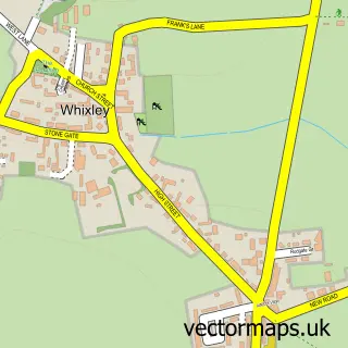
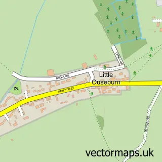
This Kirk Hammerton street map is a detailed vector street map covering a 750m x 750m area. Select a larger area to create and download your own vector street map of Kirk Hammerton.
The 750-metre map sample for Kirk Hammerton covers 139 mapped buildings and approximately 8.1 km of road detail, of which 10 named roads are named. The immediate area includes 1 school, 1 GP surgery within 2 miles and 1 MOT station within 2 miles. To create a larger or custom map of Kirk Hammerton, the map builder lets you define your own coverage area and download editable SVG, PDF and PNG files.
Create a larger editable map of Kirk Hammerton
Choose any area you need and generate a high-quality vector map instantly. Perfect for print, planning, design, business and personal use.

This Kirk Hammerton street map in North Yorkshire is available as downloadable SVG, PDF and PNG map files, or as a printed map for planning, business, display, education, local information and design work. You can also create a larger custom map area using the map selector.
What this Kirk Hammerton map sample shows
Kirk Hammerton lies within Kirk Hammerton Cp parish, part of Marston Moor ward in the North Yorkshire local authority area. The postcode geography for this area includes the YO postcode area, the YO26 postcode district and the YO26 8 postcode sector. Residents fall under the Nhs Humber And North Yorkshire Integrated Care Board for NHS services.
Local features near Kirk Hammerton
Within 2 milesAmenities and services in and around Kirk Hammerton.
Administrative and postcode information for Kirk Hammerton
The local authority covering Kirk Hammerton is North Yorkshire, within the county of North Yorkshire. The settlement lies within Marston Moor ward and Kirk Hammerton Cp civil parish. The YO26 postcode district and YO26 8 postcode sector serve the immediate area. NHS provision in the area is delivered through Harrogate And District Nhs Foundation Trust.
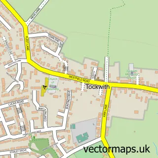
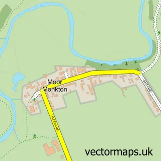
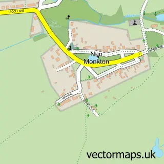
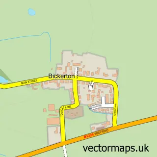
Nearby street map samples around Kirk Hammerton
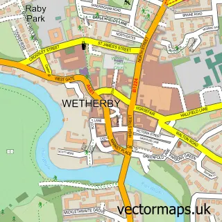

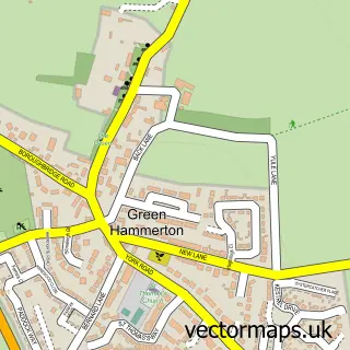
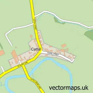
More street maps in North Yorkshire
750 metre map area coverage
Boundary, postcode and point of interest information for the 750m x 750m rectangle centred on this sample map.
Boundaries containing map centre
Constituency: Wetherby and Easingwold Co Const
District: North Yorkshire
Icb: NHS Humber and North Yorkshire ICB
Parish: Kirk Hammerton CP
Police Force: north yorkshire
Postcode District: YO26
Postcode Sector: YO26 8
Nearby boundaries intersecting sample
No additional intersecting boundaries found.
Postcode coverage
POI category counts
Anglican Church: 2
Elementary School: 1
Employment Agencies: 1
Holiday Rental Home: 1
Horse Boarding: 1
Preschool: 1
Sample points of interest
- Kirk Hammerton: St John the Baptist
- St John the Baptist Church, Kirk Hammerton
- Kirk Hammerton Church of England Primary School
- Brighter Recruiting
- St. Johns House
- Gornall Equestrian
- Kirk Hammerton Nursery School
Create a larger editable map of Kirk Hammerton
This sample shows only a 750 metre area. To create a larger map of Kirk Hammerton, use our map builder to choose your own coverage area, add titles and download editable SVG, PDF and PNG files.
Create a custom map of Kirk Hammerton