This Nun Monkton street map is a detailed vector street map covering a 750m x 750m area. Select a larger area to create and download your own vector street map of Nun Monkton.
The 750-metre map sample for Nun Monkton covers 96 mapped buildings and approximately 6.2 km of road detail, of which 4 named roads are named. The immediate area includes 1 school, 1 pub and 1 MOT station within 2 miles. The wider area around Nun Monkton features 1 food and drink venue and 1 campsite within 2 miles. To create a larger or custom map of Nun Monkton, the map builder lets you define your own coverage area and download editable SVG, PDF and PNG files.
Create a larger editable map of Nun Monkton
Choose any area you need and generate a high-quality vector map instantly. Perfect for print, planning, design, business and personal use.

This Nun Monkton street map in North Yorkshire is available as downloadable SVG, PDF and PNG map files, or as a printed map for planning, business, display, education, local information and design work. You can also create a larger custom map area using the map selector.
What this Nun Monkton map sample shows
Nun Monkton lies within Nun Monkton Cp parish, part of Ouseburn ward in the North Yorkshire local authority area. The postcode geography for this area includes the YO postcode area, the YO26 postcode district and the YO26 8 postcode sector. Residents fall under the Nhs Humber And North Yorkshire Integrated Care Board for NHS services.
Local features near Nun Monkton
Within 2 milesAmenities and services in and around Nun Monkton.
Administrative and postcode information for Nun Monkton
Nun Monkton lies within Nun Monkton Cp parish, part of Ouseburn ward in the North Yorkshire local authority area. The postcode geography for this area includes the YO postcode area, the YO26 postcode district and the YO26 8 postcode sector. Residents fall under the Nhs Humber And North Yorkshire Integrated Care Board for NHS services.
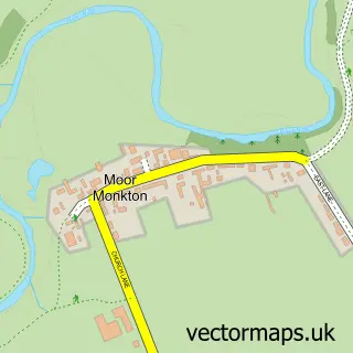
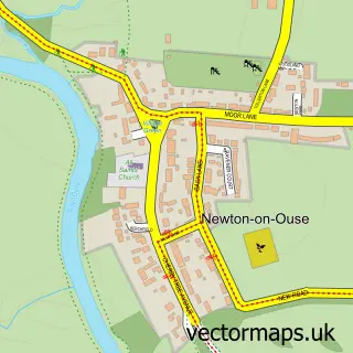
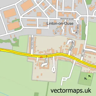
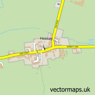
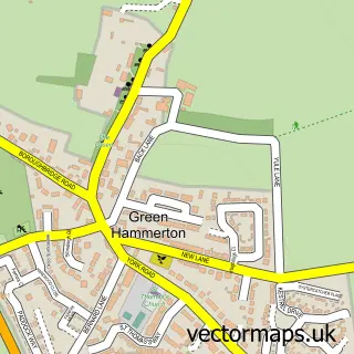
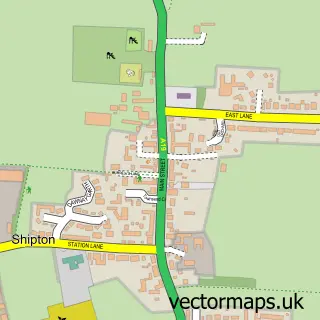
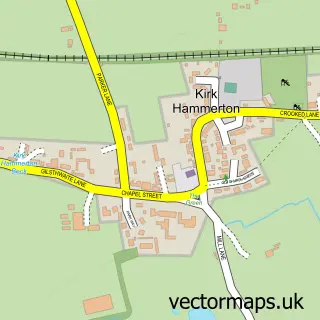
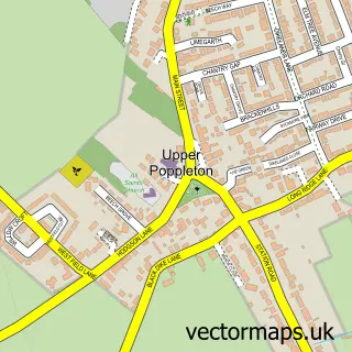
Nearby street map samples around Nun Monkton


More street maps in North Yorkshire
750 metre map area coverage
Boundary, postcode and point of interest information for the 750m x 750m rectangle centred on this sample map.
Boundaries containing map centre
Constituency: Wetherby and Easingwold Co Const
District: North Yorkshire
Icb: NHS Humber and North Yorkshire ICB
Parish: Nun Monkton CP
Police Force: north yorkshire
Postcode District: YO26
Postcode Sector: YO26 8
Nearby boundaries intersecting sample
No additional intersecting boundaries found.
Postcode coverage
POI category counts
Cabin: 1
Elementary School: 1
Equestrian Facility: 1
Freight And Cargo Service: 1
Gastropub: 1
Hvac Services: 1
Land Surveying: 1
Marketing Agency: 1
Pub: 1
Sample points of interest
- Lane End Barn
- Nun Monkton Foundation Primary School
- Camden Equestrian centre
- T J Smith Haulage
- The Alice Hawthorn Inn
- C J Ramsay & Associates
- Grant & Associates Ltd.
- KM Business Management
- Alice Hawthorn Inn
Create a larger editable map of Nun Monkton
This sample shows only a 750 metre area. To create a larger map of Nun Monkton, use our map builder to choose your own coverage area, add titles and download editable SVG, PDF and PNG files.
Create a custom map of Nun Monkton