This Newton-on-Ouse street map is a detailed vector street map covering a 750m x 750m area. Select a larger area to create and download your own vector street map of Newton-on-Ouse.
The 750-metre map sample for Newton-on-Ouse covers 179 mapped buildings and approximately 17.0 km of road detail, of which 10 named roads are named. The immediate area includes 3 pubs and 1 MOT station. The wider area around Newton-on-Ouse features 3 food and drink venues and 1 campsite within 2 miles. To create a larger or custom map of Newton-on-Ouse, the map builder lets you define your own coverage area and download editable SVG, PDF and PNG files.
Create a larger editable map of Newton-on-Ouse
Choose any area you need and generate a high-quality vector map instantly. Perfect for print, planning, design, business and personal use.

This Newton-on-Ouse street map in North Yorkshire is available as downloadable SVG, PDF and PNG map files, or as a printed map for planning, business, display, education, local information and design work. You can also create a larger custom map area using the map selector.
What this Newton-on-Ouse map sample shows
Newton-on-Ouse lies within Newton-On-Ouse Cp parish, part of Easingwold ward in the North Yorkshire local authority area. The postcode geography for this area includes the YO postcode area, the YO30 postcode district and the YO30 2 postcode sector. Residents fall under the Nhs Humber And North Yorkshire Integrated Care Board for NHS services.
Local features near Newton-on-Ouse
Within 2 milesAmenities and services in and around Newton-on-Ouse.
Administrative and postcode information for Newton-on-Ouse
Newton-on-Ouse lies within Newton-On-Ouse Cp parish, part of Easingwold ward in the North Yorkshire local authority area. The postcode geography for this area includes the YO postcode area, the YO30 postcode district and the YO30 2 postcode sector. Residents fall under the Nhs Humber And North Yorkshire Integrated Care Board for NHS services.
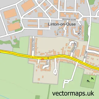
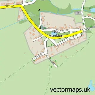
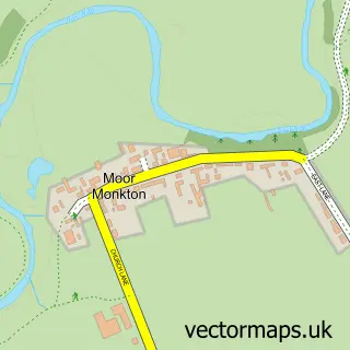
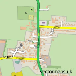
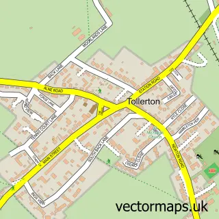
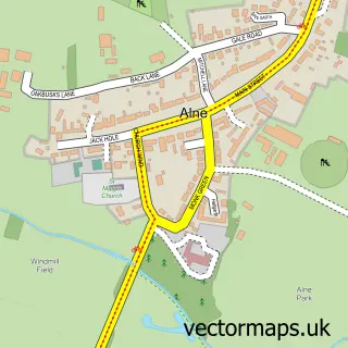
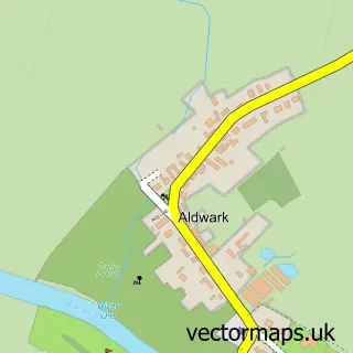
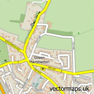
Nearby street map samples around Newton-on-Ouse


More street maps in North Yorkshire
750 metre map area coverage
Boundary, postcode and point of interest information for the 750m x 750m rectangle centred on this sample map.
Boundaries containing map centre
Constituency: Wetherby and Easingwold Co Const
District: North Yorkshire
Icb: NHS Humber and North Yorkshire ICB
Parish: Newton-on-Ouse CP
Police Force: north yorkshire
Postcode District: YO30
Postcode Sector: YO30 2
Nearby boundaries intersecting sample
Parish: Linton-on-Ouse CP, Nun Monkton CP
Postcode coverage
POI category counts
Pub: 3
Anglican Church: 2
Automotive Repair: 1
Business Management Services: 1
Clothing Store: 1
Corporate Office: 1
Flowers And Gifts Shop: 1
Human Resource Services: 1
Kids Recreation And Party: 1
Linen: 1
Sample points of interest
- All Saints Newton on Ouse
- All Saints' Church
- Greenway Garage
- J.H.ProSolutions
- Just Hats
- Lillywhite Consultancy
- Hand Sown Flowers
- InterACT Global - UK
- V X International
- Inspired Blinds
- Beningborough Hall
- Pain Free Start
Create a larger editable map of Newton-on-Ouse
This sample shows only a 750 metre area. To create a larger map of Newton-on-Ouse, use our map builder to choose your own coverage area, add titles and download editable SVG, PDF and PNG files.
Create a custom map of Newton-on-Ouse