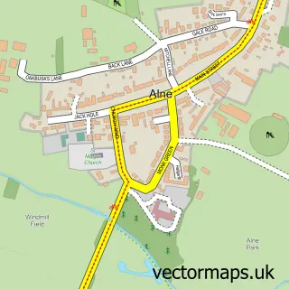
This Linton-on-Ouse street map is a detailed vector street map covering a 750m x 750m area. Select a larger area to create and download your own vector street map of Linton-on-Ouse.
The 750-metre map sample for Linton-on-Ouse covers 176 mapped buildings and approximately 15.7 km of road detail, of which 9 named roads are named. The immediate area includes 1 MOT station within 2 miles. The wider area around Linton-on-Ouse features 1 campsite within 2 miles. To create a larger or custom map of Linton-on-Ouse, the map builder lets you define your own coverage area and download editable SVG, PDF and PNG files.
Create a larger editable map of Linton-on-Ouse
Choose any area you need and generate a high-quality vector map instantly. Perfect for print, planning, design, business and personal use.

This Linton-on-Ouse street map in North Yorkshire is available as downloadable SVG, PDF and PNG map files, or as a printed map for planning, business, display, education, local information and design work. You can also create a larger custom map area using the map selector.
What this Linton-on-Ouse map sample shows
Linton-on-Ouse lies within Linton-On-Ouse Cp parish, part of Easingwold ward in the North Yorkshire local authority area. The postcode geography for this area includes the YO postcode area, the YO30 postcode district and the YO30 2 postcode sector. Residents fall under the Nhs Humber And North Yorkshire Integrated Care Board for NHS services.
Local features near Linton-on-Ouse
Within 2 milesAmenities and services in and around Linton-on-Ouse.
Administrative and postcode information for Linton-on-Ouse
Linton-on-Ouse lies within Linton-On-Ouse Cp parish, part of Easingwold ward in the North Yorkshire local authority area. The postcode geography for this area includes the YO postcode area, the YO30 postcode district and the YO30 2 postcode sector. Residents fall under the Nhs Humber And North Yorkshire Integrated Care Board for NHS services.
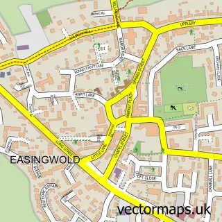
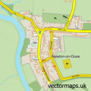
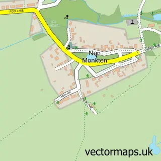
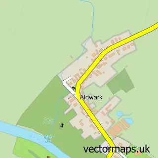
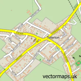
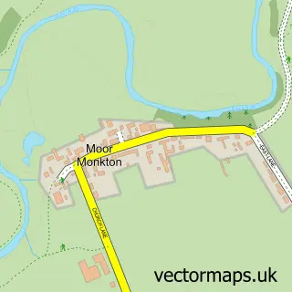
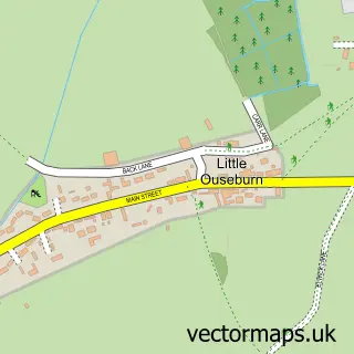
Nearby street map samples around Linton-on-Ouse

More street maps in North Yorkshire
750 metre map area coverage
Boundary, postcode and point of interest information for the 750m x 750m rectangle centred on this sample map.
Boundaries containing map centre
Constituency: Wetherby and Easingwold Co Const
District: North Yorkshire
Icb: NHS Humber and North Yorkshire ICB
Parish: Linton-on-Ouse CP
Police Force: north yorkshire
Postcode District: YO30
Postcode Sector: YO30 2
Nearby boundaries intersecting sample
No additional intersecting boundaries found.
Postcode coverage
POI category counts
Armed Forces Branch: 1
Bed And Breakfast: 1
Flight School: 1
Furniture Store: 1
Indian Restaurant: 1
It Service And Computer Repair: 1
Post Office: 1
Real Estate: 1
Travel Agents: 1
Sample points of interest
- RAF Linton-On-Ouse
- The Manor House
- Yorkshire Universities Air Squadron
- ACS Appliance Solutions
- Saffron Spice
- Kval Systems
- Linton on Ouse Post Office
- Worley Cottage
- Poland Your Way
Create a larger editable map of Linton-on-Ouse
This sample shows only a 750 metre area. To create a larger map of Linton-on-Ouse, use our map builder to choose your own coverage area, add titles and download editable SVG, PDF and PNG files.
Create a custom map of Linton-on-Ouse