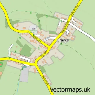
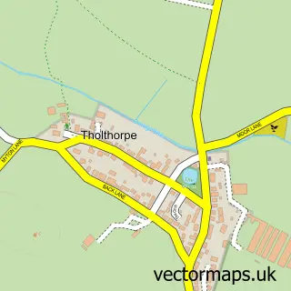
This Easingwold street map is a detailed vector street map covering a 750m x 750m area. Select a larger area to create and download your own vector street map of Easingwold.
The 750-metre map sample for Easingwold covers 509 mapped buildings and approximately 19.9 km of road detail, of which 39 named roads are named. The immediate area includes 1 GP surgery within 2 miles, 3 pubs and 2 MOT stations within 2 miles. The wider area around Easingwold features 1 tourism point of interest, 15 food and drink venues and 2 hotels. To create a larger or custom map of Easingwold, the map builder lets you define your own coverage area and download editable SVG, PDF and PNG files.
Create a larger editable map of Easingwold
Choose any area you need and generate a high-quality vector map instantly. Perfect for print, planning, design, business and personal use.

This Easingwold street map in North Yorkshire is available as downloadable SVG, PDF and PNG map files, or as a printed map for planning, business, display, education, local information and design work. You can also create a larger custom map area using the map selector.
What this Easingwold map sample shows
Easingwold lies within Easingwold Cp parish, part of Easingwold ward in the North Yorkshire local authority area. The postcode geography for this area includes the YO postcode area, the YO61 postcode district and the YO61 3 postcode sector. Residents fall under the Nhs Humber And North Yorkshire Integrated Care Board for NHS services.
Local features near Easingwold
Within 2 milesAmenities and services in and around Easingwold.
Administrative and postcode information for Easingwold
Easingwold lies within Easingwold Cp parish, part of Easingwold ward in the North Yorkshire local authority area. The postcode geography for this area includes the YO postcode area, the YO61 postcode district and the YO61 3 postcode sector. Residents fall under the Nhs Humber And North Yorkshire Integrated Care Board for NHS services.
Nearby street map samples around Easingwold

More street maps in North Yorkshire
750 metre map area coverage
Boundary, postcode and point of interest information for the 750m x 750m rectangle centred on this sample map.
Boundaries containing map centre
Constituency: Wetherby and Easingwold Co Const
District: North Yorkshire
Icb: NHS Humber and North Yorkshire ICB
Parish: Easingwold CP
Police Force: north yorkshire
Postcode District: YO61
Postcode Sector: YO61 3
Nearby boundaries intersecting sample
No additional intersecting boundaries found.
Postcode coverage
POI category counts
Beauty Salon: 9
Barber: 6
Clothing Store: 5
Flowers And Gifts Shop: 5
Hair Salon: 5
Cafe: 4
Coffee Shop: 4
Dentist: 4
Funeral Services And Cemeteries: 4
Restaurant: 4
Sample points of interest
- Hunter Gee Holroyd
- Bluemantle Creative
- Fendt & Sharp
- St. John the Baptist & All Saints, Easingwold
- Cobweb Postcards
- The Leaping Hare Gallery and Framers
- Purling Paws
- Easingwold Town Band
- The Cooperative Food Long Street, Easingwold
- The Cooperative Food (BF) Easingwold, Easingwold
- Mrs Biggles Bakery
- Thomas the Baker
Create a larger editable map of Easingwold
This sample shows only a 750 metre area. To create a larger map of Easingwold, use our map builder to choose your own coverage area, add titles and download editable SVG, PDF and PNG files.
Create a custom map of Easingwold