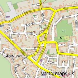
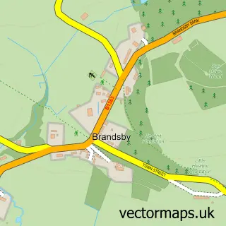
This Huby street map is a detailed vector street map covering a 750m x 750m area. Select a larger area to create and download your own vector street map of Huby.
The 750-metre map sample for Huby covers 257 mapped buildings and approximately 6.0 km of road detail, of which 15 named roads are named. The immediate area includes 1 school, 1 GP surgery within 2 miles, 2 pubs and 1 MOT station within 2 miles. The wider area around Huby features 2 food and drink venues. To create a larger or custom map of Huby, the map builder lets you define your own coverage area and download editable SVG, PDF and PNG files.
Create a larger editable map of Huby
Choose any area you need and generate a high-quality vector map instantly. Perfect for print, planning, design, business and personal use.

This Huby street map in North Yorkshire is available as downloadable SVG, PDF and PNG map files, or as a printed map for planning, business, display, education, local information and design work. You can also create a larger custom map area using the map selector.
What this Huby map sample shows
Huby lies within Huby Cp parish, part of Huby ward in the North Yorkshire local authority area. The postcode geography for this area includes the YO postcode area, the YO61 postcode district and the YO61 1 postcode sector. Residents fall under the Nhs Humber And North Yorkshire Integrated Care Board for NHS services.
Local features near Huby
Within 2 milesAmenities and services in and around Huby.
Administrative and postcode information for Huby
Huby lies within Huby Cp parish, part of Huby ward in the North Yorkshire local authority area. The postcode geography for this area includes the YO postcode area, the YO61 postcode district and the YO61 1 postcode sector. Residents fall under the Nhs Humber And North Yorkshire Integrated Care Board for NHS services.
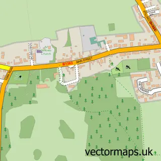
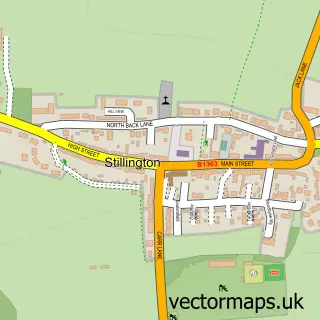
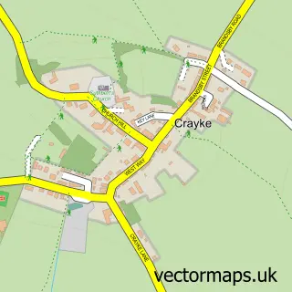
Nearby street map samples around Huby

More street maps in North Yorkshire
750 metre map area coverage
Boundary, postcode and point of interest information for the 750m x 750m rectangle centred on this sample map.
Boundaries containing map centre
Constituency: Wetherby and Easingwold Co Const
District: North Yorkshire
Icb: NHS Humber and North Yorkshire ICB
Parish: Huby CP
Police Force: north yorkshire
Postcode District: YO61
Postcode Sector: YO61 1
Nearby boundaries intersecting sample
No additional intersecting boundaries found.
Postcode coverage
POI category counts
Elementary School: 2
Professional Services: 2
Pub: 2
Business Management Services: 1
Chinese Restaurant: 1
Church Cathedral: 1
Community Services Non Profits: 1
Convenience Store: 1
Dog Trainer: 1
Fish And Chips Restaurant: 1
Sample points of interest
- Designworks
- The New Inn Cantonese
- Huby Methodist Church
- Huby & Sutton Community Shop
- Barkers of Huby
- Cultured Canine Dog Services
- Huby C of E Primary School
- Huby Church of England Voluntary Controlled Primary School
- Huby Fisheries
- New Inn Motel
- Find a Local Trader
- Ebor Equine Therapy
Create a larger editable map of Huby
This sample shows only a 750 metre area. To create a larger map of Huby, use our map builder to choose your own coverage area, add titles and download editable SVG, PDF and PNG files.
Create a custom map of Huby