This Sutton on the Forest street map is a detailed vector street map covering a 750m x 750m area. Select a larger area to create and download your own vector street map of Sutton on the Forest.
The 750-metre map sample for Sutton on the Forest covers 157 mapped buildings and approximately 5.4 km of road detail, of which 9 named roads are named. The immediate area includes 1 school, 1 pub and 2 MOT stations within 2 miles. The wider area around Sutton on the Forest features 2 tourism points of interest and 2 food and drink venues. To create a larger or custom map of Sutton on the Forest, the map builder lets you define your own coverage area and download editable SVG, PDF and PNG files.
Create a larger editable map of Sutton on the Forest
Choose any area you need and generate a high-quality vector map instantly. Perfect for print, planning, design, business and personal use.

This Sutton on the Forest street map in North Yorkshire is available as downloadable SVG, PDF and PNG map files, or as a printed map for planning, business, display, education, local information and design work. You can also create a larger custom map area using the map selector.
What this Sutton on the Forest map sample shows
Sutton on the Forest lies within Sutton-On-The-Forest Cp parish, part of Huby ward in the North Yorkshire local authority area. The postcode geography for this area includes the YO postcode area, the YO61 postcode district and the YO61 1 postcode sector. Residents fall under the Nhs Humber And North Yorkshire Integrated Care Board for NHS services.
Local features near Sutton on the Forest
Within 2 milesAmenities and services in and around Sutton on the Forest.
Administrative and postcode information for Sutton on the Forest
The local authority covering Sutton on the Forest is North Yorkshire, within the county of North Yorkshire. The settlement lies within Huby ward and Sutton-On-The-Forest Cp civil parish. The YO61 postcode district and YO61 1 postcode sector serve the immediate area. NHS provision in the area is delivered through York And Scarborough Teaching Hospitals Nhs Foundation Trust.
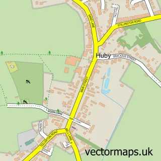
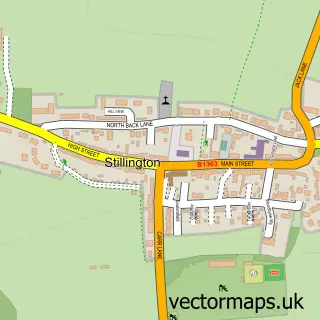
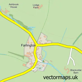
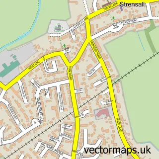
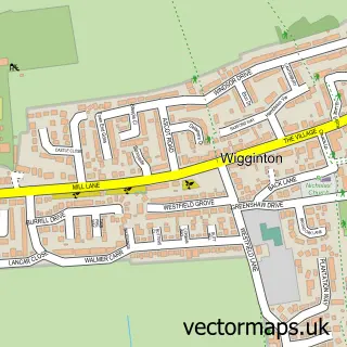
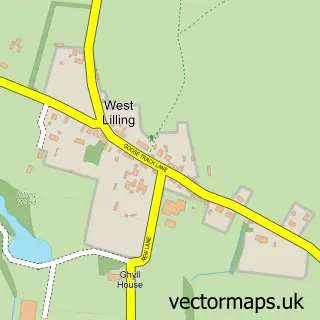
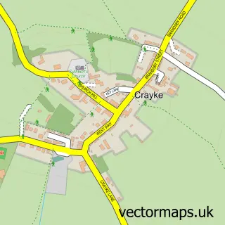
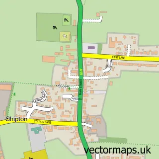
Nearby street map samples around Sutton on the Forest


More street maps in North Yorkshire
750 metre map area coverage
Boundary, postcode and point of interest information for the 750m x 750m rectangle centred on this sample map.
Boundaries containing map centre
Constituency: Wetherby and Easingwold Co Const
District: North Yorkshire
Icb: NHS Humber and North Yorkshire ICB
Parish: Sutton-on-the-Forest CP
Police Force: north yorkshire
Postcode District: YO61
Postcode Sector: YO61 1
Nearby boundaries intersecting sample
No additional intersecting boundaries found.
Postcode coverage
POI category counts
Caterer: 2
Elementary School: 2
Anglican Church: 1
Building Supply Store: 1
Community Services Non Profits: 1
Currency Exchange: 1
Gastropub: 1
Land Surveying: 1
Landmark And Historical Building: 1
Landscaping: 1
Sample points of interest
- All Hallows
- Cohesion Construction
- Croft Kitchen
- Croft Kitchen
- Sutton Park 10k
- Post Office Travel Money
- Sutton on the Forest Church of England Voluntary Controlled Primary School
- Sutton on the Forest Church of England Voluntary Controlled Primary School
- Rose & Crown
- Dk Brown Associates
- Sutton Park Stately Home
- Simon Bowler
Create a larger editable map of Sutton on the Forest
This sample shows only a 750 metre area. To create a larger map of Sutton on the Forest, use our map builder to choose your own coverage area, add titles and download editable SVG, PDF and PNG files.
Create a custom map of Sutton on the Forest