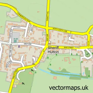
This Stillington street map is a detailed vector street map covering a 750m x 750m area. Select a larger area to create and download your own vector street map of Stillington.
The 750-metre map sample for Stillington covers 214 mapped buildings and approximately 9.1 km of road detail, of which 12 named roads are named. The immediate area includes 1 school, 1 GP surgery and 2 pubs. The wider area around Stillington features 1 tourism point of interest and 2 food and drink venues. To create a larger or custom map of Stillington, the map builder lets you define your own coverage area and download editable SVG, PDF and PNG files.
Create a larger editable map of Stillington
Choose any area you need and generate a high-quality vector map instantly. Perfect for print, planning, design, business and personal use.

This Stillington street map in North Yorkshire is available as downloadable SVG, PDF and PNG map files, or as a printed map for planning, business, display, education, local information and design work. You can also create a larger custom map area using the map selector.
What this Stillington map sample shows
Stillington lies within Stillington Cp parish, part of Huby ward in the North Yorkshire local authority area. The postcode geography for this area includes the YO postcode area, the YO61 postcode district and the YO61 1 postcode sector. Residents fall under the Nhs Humber And North Yorkshire Integrated Care Board for NHS services.
Local features near Stillington
Within 2 milesAmenities and services in and around Stillington.
Administrative and postcode information for Stillington
The local authority covering Stillington is North Yorkshire, within the county of North Yorkshire. The settlement lies within Huby ward and Stillington Cp civil parish. The YO61 postcode district and YO61 1 postcode sector serve the immediate area. NHS provision in the area is delivered through York And Scarborough Teaching Hospitals Nhs Foundation Trust.
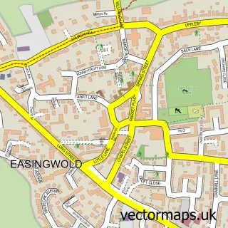
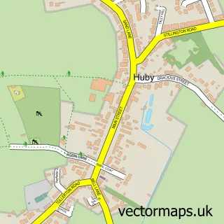
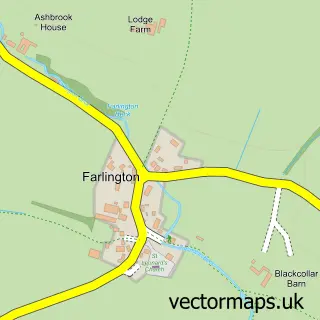
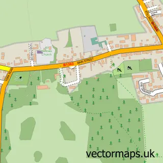
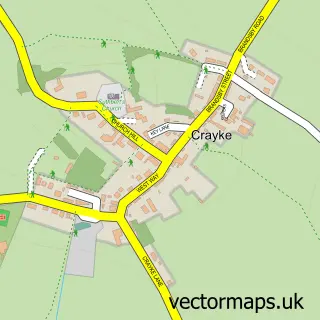
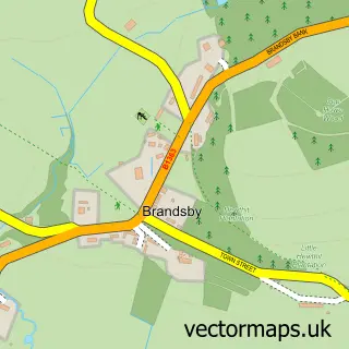
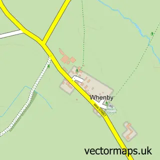
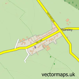
Nearby street map samples around Stillington

More street maps in North Yorkshire
750 metre map area coverage
Boundary, postcode and point of interest information for the 750m x 750m rectangle centred on this sample map.
Boundaries containing map centre
Constituency: Wetherby and Easingwold Co Const
District: North Yorkshire
Icb: NHS Humber and North Yorkshire ICB
Parish: Stillington CP
Police Force: north yorkshire
Postcode District: YO61
Postcode Sector: YO61 1
Nearby boundaries intersecting sample
No additional intersecting boundaries found.
Postcode coverage
POI category counts
Post Office: 2
Pub: 2
Accountant: 1
Amateur Sports Team: 1
Anglican Church: 1
Building Contractor: 1
Church Cathedral: 1
Community Center: 1
Doctor: 1
Driving School: 1
Sample points of interest
- Bookkeeping On Hand
- Marton Abbey Football Club
- St Nicholas
- Charleswood Property Developments
- Stillington St Nicholas
- Stillington Village Hall
- Stillington Surgery
- Drivetime
- Quantum First Aid
- Stillington Primary School
- Whitethorn Equestrian
- Yorkshire Life Financial Services
Create a larger editable map of Stillington
This sample shows only a 750 metre area. To create a larger map of Stillington, use our map builder to choose your own coverage area, add titles and download editable SVG, PDF and PNG files.
Create a custom map of Stillington