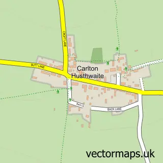
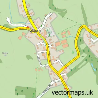
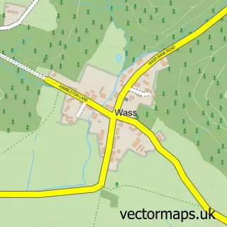
This Husthwaite street map is a detailed vector street map covering a 750m x 750m area. Select a larger area to create and download your own vector street map of Husthwaite.
The 750-metre map sample for Husthwaite covers 173 mapped buildings and approximately 15.3 km of road detail, of which 9 named roads are named. The immediate area includes 1 MOT station within 2 miles. The wider area around Husthwaite features 1 hotel and 1 campsite within 2 miles. To create a larger or custom map of Husthwaite, the map builder lets you define your own coverage area and download editable SVG, PDF and PNG files.
Create a larger editable map of Husthwaite
Choose any area you need and generate a high-quality vector map instantly. Perfect for print, planning, design, business and personal use.

This Husthwaite street map in North Yorkshire is available as downloadable SVG, PDF and PNG map files, or as a printed map for planning, business, display, education, local information and design work. You can also create a larger custom map area using the map selector.
What this Husthwaite map sample shows
Husthwaite lies within Husthwaite Cp parish, part of Raskelf & White Horse ward in the North Yorkshire local authority area. The postcode geography for this area includes the YO postcode area, the YO61 postcode district and the YO61 4 postcode sector. Residents fall under the Nhs Humber And North Yorkshire Integrated Care Board for NHS services.
Local features near Husthwaite
Within 2 milesAmenities and services in and around Husthwaite.
Administrative and postcode information for Husthwaite
The local authority covering Husthwaite is North Yorkshire, within the county of North Yorkshire. The settlement lies within Raskelf & White Horse ward and Husthwaite Cp civil parish. The YO61 postcode district and YO61 4 postcode sector serve the immediate area. NHS provision in the area is delivered through South Tees Hospitals Nhs Foundation Trust.
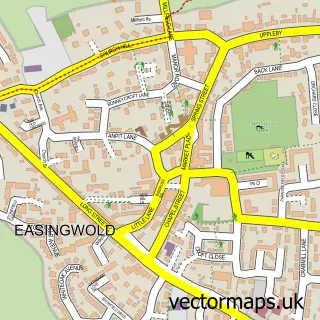
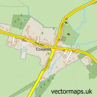
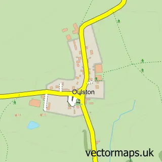
Nearby street map samples around Husthwaite

More street maps in North Yorkshire
750 metre map area coverage
Boundary, postcode and point of interest information for the 750m x 750m rectangle centred on this sample map.
Boundaries containing map centre
Constituency: Wetherby and Easingwold Co Const
District: North Yorkshire
Icb: NHS Humber and North Yorkshire ICB
Parish: Husthwaite CP
Police Force: north yorkshire
Postcode District: YO61
Postcode Sector: YO61 4
Nearby boundaries intersecting sample
Parish: Angram Grange CP, Coxwold CP
Postcode coverage
POI category counts
Anglican Church: 1
Beauty Salon: 1
Brewery: 1
Business Consulting: 1
Carpenter: 1
Church Cathedral: 1
Community Center: 1
Elementary School: 1
Event Photography: 1
Farm: 1
Sample points of interest
- St Nicholas - Husthwaite
- The White Horse Beauty Room
- Orchards of Husthwaite Cider
- PCH Consulting
- Wilfred Hutchinson & Son
- St Nicholas' Church
- Husthwaite Village Hall
- Husthwaite CofE Primary School
- Lewis Crawford Photography
- Fields Farmyards and Families
- Mowatt Financial Planning, Husthwaite
- All Seasons Lawn Turf
Create a larger editable map of Husthwaite
This sample shows only a 750 metre area. To create a larger map of Husthwaite, use our map builder to choose your own coverage area, add titles and download editable SVG, PDF and PNG files.
Create a custom map of Husthwaite