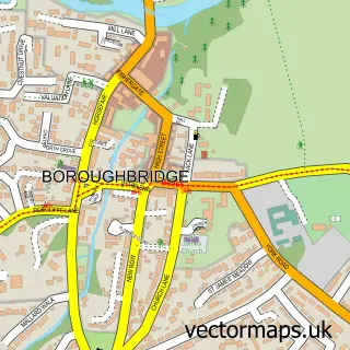
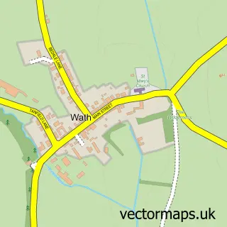
This Ripon street map is a detailed vector street map covering a 750m x 750m area. Select a larger area to create and download your own vector street map of Ripon.
The 750-metre map sample for Ripon covers 377 mapped buildings and approximately 20.3 km of road detail, of which 65 named roads are named. The immediate area includes 3 GP surgeries, 13 pubs and 7 MOT stations within 2 miles. The wider area around Ripon features 14 tourism points of interest, 38 food and drink venues and 4 hotels. To create a larger or custom map of Ripon, the map builder lets you define your own coverage area and download editable SVG, PDF and PNG files.
Create a larger editable map of Ripon
Choose any area you need and generate a high-quality vector map instantly. Perfect for print, planning, design, business and personal use.

This Ripon street map in North Yorkshire is available as downloadable SVG, PDF and PNG map files, or as a printed map for planning, business, display, education, local information and design work. You can also create a larger custom map area using the map selector.
What this Ripon map sample shows
Ripon lies within Sharow Cp parish, part of Wathvale ward in the North Yorkshire local authority area. The postcode geography for this area includes the HG postcode area, the HG4 postcode district and the HG4 5 postcode sector. Residents fall under the Nhs Humber And North Yorkshire Integrated Care Board for NHS services.
Local features near Ripon
Within 2 milesAmenities and services in and around Ripon.
Administrative and postcode information for Ripon
The local authority covering Ripon is North Yorkshire, within the county of North Yorkshire. The settlement lies within Wathvale ward and Sharow Cp civil parish. The HG4 postcode district and HG4 5 postcode sector serve the immediate area. NHS provision in the area is delivered through Harrogate And District Nhs Foundation Trust.
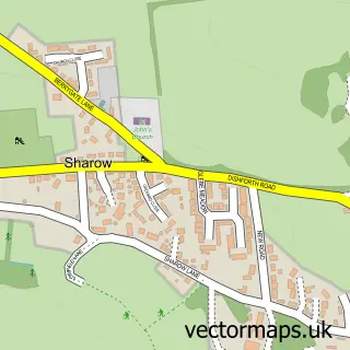
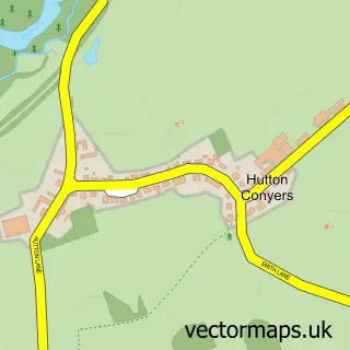
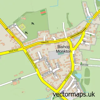
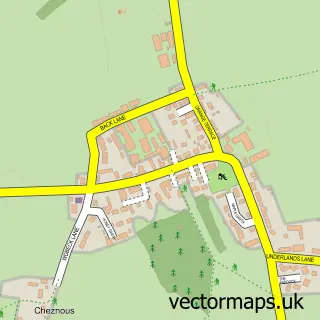
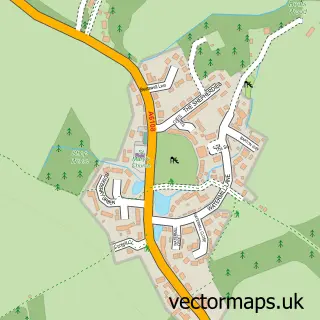
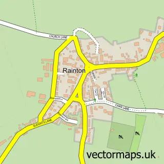
Nearby street map samples around Ripon
More street maps in North Yorkshire
750 metre map area coverage
Boundary, postcode and point of interest information for the 750m x 750m rectangle centred on this sample map.
Boundaries containing map centre
Constituency: Skipton and Ripon Co Const
District: North Yorkshire
Icb: NHS Humber and North Yorkshire ICB
Parish: Ripon CP
Police Force: north yorkshire
Postcode District: HG4
Postcode Sector: HG4 1
Nearby boundaries intersecting sample
Postcode Sector: HG4 2
Postcode coverage
POI category counts
Beauty Salon: 17
Hair Salon: 17
Cafe: 14
Pub: 13
Charity Organization: 11
Nail Salon: 10
Professional Services: 10
Real Estate Agent: 10
Clothing Store: 9
Doctor: 9
Sample points of interest
- OYO The White Horse
- F E Metcalfe & Co.
- The Barker Partnership
- Intrim
- 3D Print Dynamics
- Hemingways
- Hemingways Marketing Services
- Mobile Marketing Fusion
- St John the Baptist Chapel Bondgate
- Antiques and Collectables
- No1 Antiques & Collectables
- ReLoved Antiques
Create a larger editable map of Ripon
This sample shows only a 750 metre area. To create a larger map of Ripon, use our map builder to choose your own coverage area, add titles and download editable SVG, PDF and PNG files.
Create a custom map of Ripon