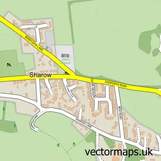
This Melmerby street map is a detailed vector street map covering a 750m x 750m area. Select a larger area to create and download your own vector street map of Melmerby.
The 750-metre map sample for Melmerby covers 167 mapped buildings and approximately 11.1 km of road detail, of which 9 named roads are named. The immediate area includes 1 pub and 1 MOT station, with 2 within 2 miles. The wider area around Melmerby features 1 food and drink venue and 2 campsites within 2 miles. To create a larger or custom map of Melmerby, the map builder lets you define your own coverage area and download editable SVG, PDF and PNG files.
Create a larger editable map of Melmerby
Choose any area you need and generate a high-quality vector map instantly. Perfect for print, planning, design, business and personal use.

This Melmerby street map in North Yorkshire is available as downloadable SVG, PDF and PNG map files, or as a printed map for planning, business, display, education, local information and design work. You can also create a larger custom map area using the map selector.
What this Melmerby map sample shows
Melmerby lies within Melmerby Cp parish, part of Wathvale ward in the North Yorkshire local authority area. The postcode geography for this area includes the HG postcode area, the HG4 postcode district and the HG4 5 postcode sector. Residents fall under the Nhs Humber And North Yorkshire Integrated Care Board for NHS services.
Local features near Melmerby
Within 2 milesAmenities and services in and around Melmerby.
Administrative and postcode information for Melmerby
Melmerby lies within Melmerby Cp parish, part of Wathvale ward in the North Yorkshire local authority area. The postcode geography for this area includes the HG postcode area, the HG4 postcode district and the HG4 5 postcode sector. Residents fall under the Nhs Humber And North Yorkshire Integrated Care Board for NHS services.
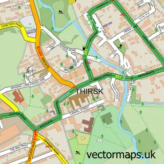
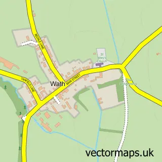
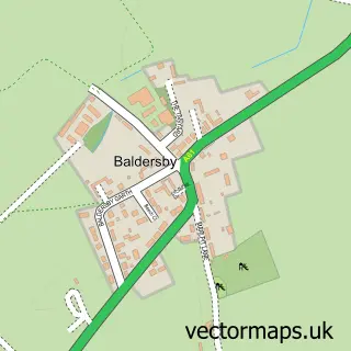
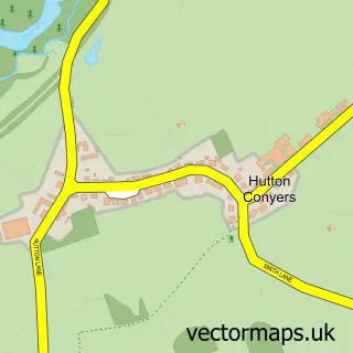
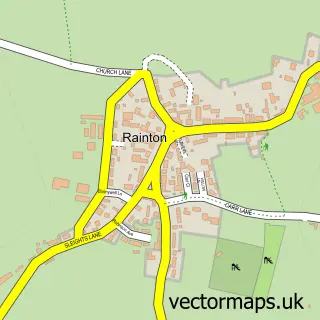
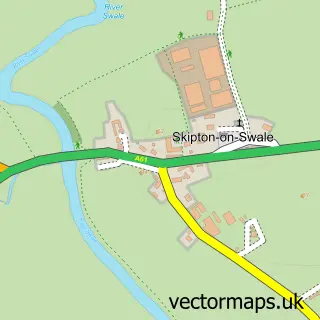
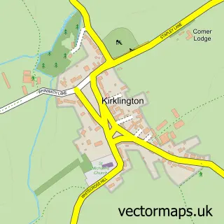
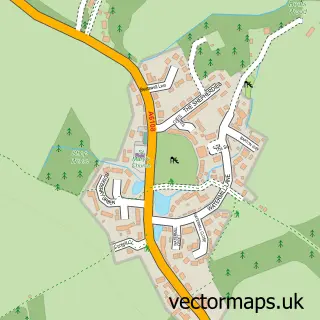
Nearby street map samples around Melmerby

More street maps in North Yorkshire
750 metre map area coverage
Boundary, postcode and point of interest information for the 750m x 750m rectangle centred on this sample map.
Boundaries containing map centre
Constituency: Skipton and Ripon Co Const
District: North Yorkshire
Icb: NHS Humber and North Yorkshire ICB
Parish: Melmerby CP
Police Force: north yorkshire
Postcode District: HG4
Postcode Sector: HG4 5
Nearby boundaries intersecting sample
Parish: Wath CP
Postcode coverage
POI category counts
Beauty Salon: 2
Bakery: 1
Community Center: 1
Construction Services: 1
Contractor: 1
Day Care Preschool: 1
Engineering Services: 1
Grocery Store: 1
Lodge: 1
Pub: 1
Sample points of interest
- Tailored Cakes
- Nail Perfect
- The Skin Oasis Ltd
- Melmerby and Middleton Quernhow Village Hall
- Silver Edge Services Ltd
- Richard Webster Plastering Contractor
- Melmerby Pre-School Playgroup
- Tritan Engineering
- Independent Foods
- The Grange Farm Lodge
- The George & Dragon Inn
- Silver Edge Services Limited
Create a larger editable map of Melmerby
This sample shows only a 750 metre area. To create a larger map of Melmerby, use our map builder to choose your own coverage area, add titles and download editable SVG, PDF and PNG files.
Create a custom map of Melmerby