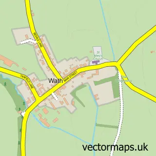
This North Stainley street map is a detailed vector street map covering a 750m x 750m area. Select a larger area to create and download your own vector street map of North Stainley.
The 750-metre map sample for North Stainley covers 171 mapped buildings and approximately 5.8 km of road detail, of which 10 named roads are named. The immediate area includes 1 school, 1 pub and 1 MOT station within 2 miles. The wider area around North Stainley features 1 tourism point of interest, 1 food and drink venue and 1 hotel. To create a larger or custom map of North Stainley, the map builder lets you define your own coverage area and download editable SVG, PDF and PNG files.
Create a larger editable map of North Stainley
Choose any area you need and generate a high-quality vector map instantly. Perfect for print, planning, design, business and personal use.

This North Stainley street map in North Yorkshire is available as downloadable SVG, PDF and PNG map files, or as a printed map for planning, business, display, education, local information and design work. You can also create a larger custom map area using the map selector.
What this North Stainley map sample shows
North Stainley lies within North Stainley With Sleningford Cp parish, part of Wathvale ward in the North Yorkshire local authority area. The postcode geography for this area includes the HG postcode area, the HG4 postcode district and the HG4 3 postcode sector. Residents fall under the Nhs Humber And North Yorkshire Integrated Care Board for NHS services.
Local features near North Stainley
Within 2 milesAmenities and services in and around North Stainley.
Administrative and postcode information for North Stainley
North Stainley lies within North Stainley With Sleningford Cp parish, part of Wathvale ward in the North Yorkshire local authority area. The postcode geography for this area includes the HG postcode area, the HG4 postcode district and the HG4 3 postcode sector. Residents fall under the Nhs Humber And North Yorkshire Integrated Care Board for NHS services.
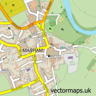
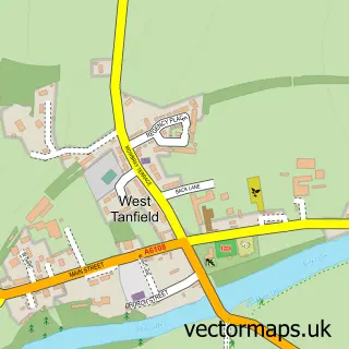
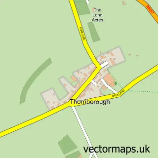
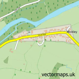
Nearby street map samples around North Stainley


More street maps in North Yorkshire
750 metre map area coverage
Boundary, postcode and point of interest information for the 750m x 750m rectangle centred on this sample map.
Boundaries containing map centre
Constituency: Skipton and Ripon Co Const
District: North Yorkshire
Icb: NHS Humber and North Yorkshire ICB
Parish: North Stainley with Sleningford CP
Police Force: north yorkshire
Postcode District: HG4
Postcode Sector: HG4 3
Nearby boundaries intersecting sample
Constituency: Thirsk and Malton Co Const
Parish: East Tanfield CP
Postcode coverage
POI category counts
Anglican Church: 2
Active Life: 1
Amusement Park: 1
Building Supply Store: 1
Business Consulting: 1
Employment Agencies: 1
Gastropub: 1
Hardware Store: 1
Hotel: 1
Hvac Services: 1
Sample points of interest
- North Stainley Cricket Club
- Lightwater Valley Attractions
- North Stainley: St Mary the Virgin
- St Mary's Church
- Heidelberg Materials Ready-mixed Concrete
- Top Rated Accounts
- Aquista Ltd.
- Staveley Arms
- ripon scaffolding
- Old Coach House
- Rumdoodle Gas Services
- Balti House
Create a larger editable map of North Stainley
This sample shows only a 750 metre area. To create a larger map of North Stainley, use our map builder to choose your own coverage area, add titles and download editable SVG, PDF and PNG files.
Create a custom map of North Stainley