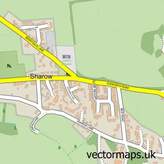
This Burton Leonard street map is a detailed vector street map covering a 750m x 750m area. Select a larger area to create and download your own vector street map of Burton Leonard.
The 750-metre map sample for Burton Leonard covers 204 mapped buildings and approximately 8.9 km of road detail, of which 14 named roads are named. The immediate area includes 1 school, 2 pubs and 1 MOT station within 2 miles. The wider area around Burton Leonard features 2 food and drink venues. To create a larger or custom map of Burton Leonard, the map builder lets you define your own coverage area and download editable SVG, PDF and PNG files.
Create a larger editable map of Burton Leonard
Choose any area you need and generate a high-quality vector map instantly. Perfect for print, planning, design, business and personal use.

This Burton Leonard street map in North Yorkshire is available as downloadable SVG, PDF and PNG map files, or as a printed map for planning, business, display, education, local information and design work. You can also create a larger custom map area using the map selector.
What this Burton Leonard map sample shows
Burton Leonard lies within Burton Leonard Cp parish, part of Claro ward in the North Yorkshire local authority area. The postcode geography for this area includes the HG postcode area, the HG3 postcode district and the HG3 3 postcode sector. Residents fall under the Nhs Humber And North Yorkshire Integrated Care Board for NHS services.
Local features near Burton Leonard
Within 2 milesAmenities and services in and around Burton Leonard.
Administrative and postcode information for Burton Leonard
Burton Leonard lies within Burton Leonard Cp parish, part of Claro ward in the North Yorkshire local authority area. The postcode geography for this area includes the HG postcode area, the HG3 postcode district and the HG3 3 postcode sector. Residents fall under the Nhs Humber And North Yorkshire Integrated Care Board for NHS services.
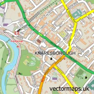
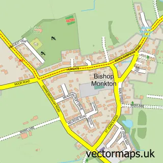
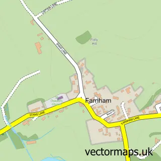
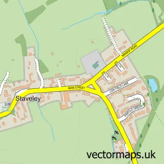
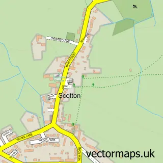
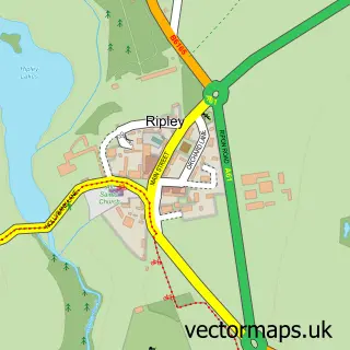
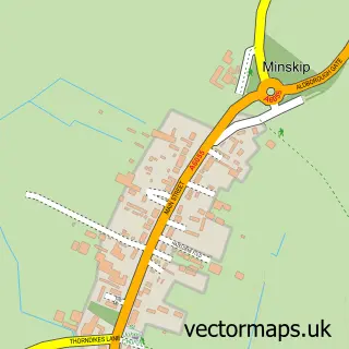
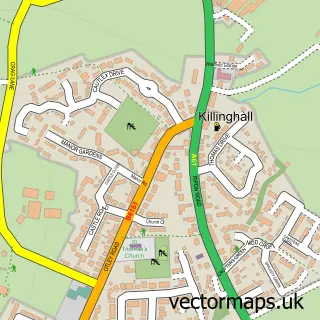
Nearby street map samples around Burton Leonard

More street maps in North Yorkshire
750 metre map area coverage
Boundary, postcode and point of interest information for the 750m x 750m rectangle centred on this sample map.
Boundaries containing map centre
Constituency: Harrogate and Knaresborough Co Const
District: North Yorkshire
Icb: NHS Humber and North Yorkshire ICB
Parish: Burton Leonard CP
Police Force: north yorkshire
Postcode District: HG3
Postcode Sector: HG3 3
Nearby boundaries intersecting sample
No additional intersecting boundaries found.
Postcode coverage
POI category counts
Architect: 2
Bed And Breakfast: 2
Newspaper And Magazines Store: 2
Pub: 2
Advertising Agency: 1
Amateur Sports Team: 1
Anglican Church: 1
Arts And Entertainment: 1
Cooking School: 1
Currency Exchange: 1
Sample points of interest
- Graphic Design Partnership
- Burton Leonard Cricket Club
- Burton Leonard: St. Leonard's
- Architect Your Home
- Dutka Architects & Designers Limted
- Burton Leonard Village
- Callender House Bed And Breakfast
- Callender House Bed and Breakfast, Burton Leonard, Harrogate, North Yorks
- Kiddy Cook Harrogate
- Post Office Travel Money
- Burton Leonard C Of E Primary School
- Kelly Grove Holistic Therapies
Create a larger editable map of Burton Leonard
This sample shows only a 750 metre area. To create a larger map of Burton Leonard, use our map builder to choose your own coverage area, add titles and download editable SVG, PDF and PNG files.
Create a custom map of Burton Leonard