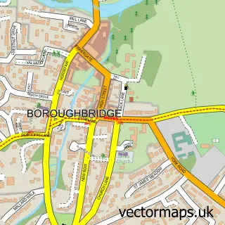
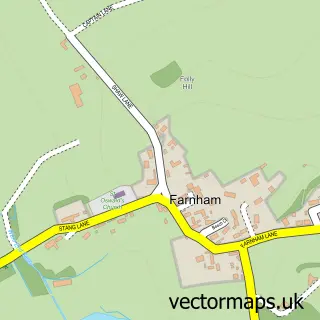
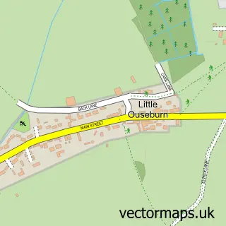
This Minskip street map is a detailed vector street map covering a 750m x 750m area. Select a larger area to create and download your own vector street map of Minskip.
The 750-metre map sample for Minskip covers 127 mapped buildings and approximately 5.8 km of road detail, of which 7 named roads are named. The immediate area includes 1 GP surgery within 2 miles, 2 pubs and 8 MOT stations within 2 miles. The wider area around Minskip features 2 food and drink venues and 2 campsites within 2 miles. To create a larger or custom map of Minskip, the map builder lets you define your own coverage area and download editable SVG, PDF and PNG files.
Create a larger editable map of Minskip
Choose any area you need and generate a high-quality vector map instantly. Perfect for print, planning, design, business and personal use.

This Minskip street map in North Yorkshire is available as downloadable SVG, PDF and PNG map files, or as a printed map for planning, business, display, education, local information and design work. You can also create a larger custom map area using the map selector.
What this Minskip map sample shows
Minskip lies within Boroughbridge Cp parish, part of Boroughbridge ward in the North Yorkshire local authority area. The postcode geography for this area includes the YO postcode area, the YO51 postcode district and the YO51 9 postcode sector. Residents fall under the Nhs Humber And North Yorkshire Integrated Care Board for NHS services.
Local features near Minskip
Within 2 milesAmenities and services in and around Minskip.
Administrative and postcode information for Minskip
The local authority covering Minskip is North Yorkshire, within the county of North Yorkshire. The settlement lies within Boroughbridge ward and Boroughbridge Cp civil parish. The YO51 postcode district and YO51 9 postcode sector serve the immediate area. NHS provision in the area is delivered through Harrogate And District Nhs Foundation Trust.
Nearby street map samples around Minskip

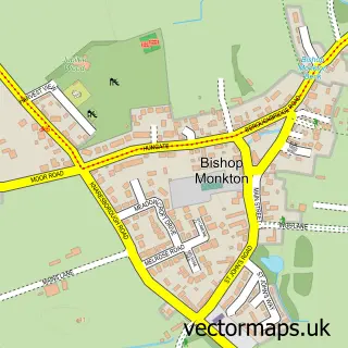
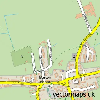
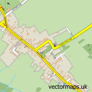
More street maps in North Yorkshire
750 metre map area coverage
Boundary, postcode and point of interest information for the 750m x 750m rectangle centred on this sample map.
Boundaries containing map centre
Constituency: Wetherby and Easingwold Co Const
District: North Yorkshire
Icb: NHS Humber and North Yorkshire ICB
Parish: Boroughbridge CP
Police Force: north yorkshire
Postcode District: YO51
Postcode Sector: YO51 9
Nearby boundaries intersecting sample
No additional intersecting boundaries found.
Postcode coverage
POI category counts
Pub: 2
Anglican Church: 1
Auto Body Shop: 1
Driving School: 1
Emissions Inspection: 1
Freight And Cargo Service: 1
Furniture Store: 1
Home Service: 1
It Service And Computer Repair: 1
Movers: 1
Sample points of interest
- Minskip: St John`s Church
- Ikonik Automotive
- Learn Driving UK
- Minskip Garage
- Peacock Brothers
- Croftys Preloved Furniture and Unusual Items
- Harrogate Superior Glass Ltd
- Starpoint Systems
- Harrogate Removals
- Guitar Lessons Boroughbridge
- The Wild Swan
- The Wild Swan
Create a larger editable map of Minskip
This sample shows only a 750 metre area. To create a larger map of Minskip, use our map builder to choose your own coverage area, add titles and download editable SVG, PDF and PNG files.
Create a custom map of Minskip