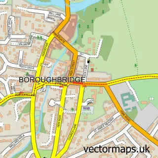
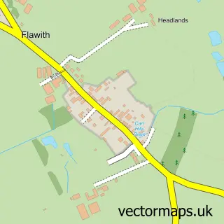
This Little Ouseburn street map is a detailed vector street map covering a 750m x 750m area. Select a larger area to create and download your own vector street map of Little Ouseburn.
The 750-metre map sample for Little Ouseburn covers 95 mapped buildings and approximately 4.4 km of road detail, of which 4 named roads are named. The immediate area includes 1 MOT station within 2 miles. The wider area around Little Ouseburn features 1 tourism point of interest. To create a larger or custom map of Little Ouseburn, the map builder lets you define your own coverage area and download editable SVG, PDF and PNG files.
Create a larger editable map of Little Ouseburn
Choose any area you need and generate a high-quality vector map instantly. Perfect for print, planning, design, business and personal use.

This Little Ouseburn street map in North Yorkshire is available as downloadable SVG, PDF and PNG map files, or as a printed map for planning, business, display, education, local information and design work. You can also create a larger custom map area using the map selector.
What this Little Ouseburn map sample shows
Little Ouseburn lies within Little Ouseburn Cp parish, part of Ouseburn ward in the North Yorkshire local authority area. The postcode geography for this area includes the YO postcode area, the YO26 postcode district and the YO26 9 postcode sector. Residents fall under the Nhs Humber And North Yorkshire Integrated Care Board for NHS services.
Local features near Little Ouseburn
Within 2 milesAmenities and services in and around Little Ouseburn.
Administrative and postcode information for Little Ouseburn
The local authority covering Little Ouseburn is North Yorkshire, within the county of North Yorkshire. The settlement lies within Ouseburn ward and Little Ouseburn Cp civil parish. The YO26 postcode district and YO26 9 postcode sector serve the immediate area. NHS provision in the area is delivered through Harrogate And District Nhs Foundation Trust.
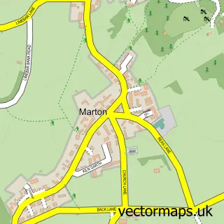
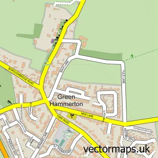
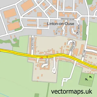
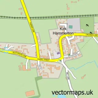
Nearby street map samples around Little Ouseburn

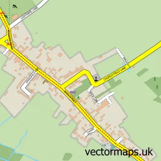
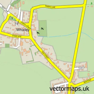
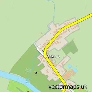
More street maps in North Yorkshire
750 metre map area coverage
Boundary, postcode and point of interest information for the 750m x 750m rectangle centred on this sample map.
Boundaries containing map centre
Constituency: Wetherby and Easingwold Co Const
District: North Yorkshire
Icb: NHS Humber and North Yorkshire ICB
Parish: Little Ouseburn CP
Police Force: north yorkshire
Postcode District: YO26
Postcode Sector: YO26 9
Nearby boundaries intersecting sample
Parish: Kirby Hall CP
Postcode coverage
POI category counts
Business Consulting: 1
Business To Business Services: 1
Campground: 1
Flowers And Gifts Shop: 1
Furniture Store: 1
It Service And Computer Repair: 1
Software Development: 1
Sample points of interest
- M R Dynamics
- M R Dynamics Ltd.
- Camping at The Woods
- Ouseburn Meadows Flower Farm
- 1st Gas Services
- Onesys
- Onesys
Create a larger editable map of Little Ouseburn
This sample shows only a 750 metre area. To create a larger map of Little Ouseburn, use our map builder to choose your own coverage area, add titles and download editable SVG, PDF and PNG files.
Create a custom map of Little Ouseburn