Vector Maps logo
Home Why it works Popular maps Districts Samples Customizer Create Your Map
VectorMaps.uk
Home Popular maps Districts Samples Customizer Create Your Map Privacy Disclaimer
Home / UK Maps / North Yorkshire / Whixley Map

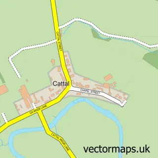
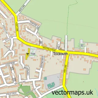
This Whixley street map is a detailed vector street map covering a 750m x 750m area. Select a larger area to create and download your own vector street map of Whixley.

Whixley is a village in North Yorkshire, in the Yorkshire And The Humber of England. Historically, the area formed part of Yorkshire. The settlement falls within the Selby And Ainsty parliamentary constituency. It is served by the YO26 postcode district,

The 750-metre map sample for Whixley covers 186 mapped buildings and approximately 10.2 km of road detail, of which 11 named roads are named. The immediate area includes 1 GP surgery within 2 miles, 1 pub and 1 MOT station within 2 miles. The wider area around Whixley features 1 food and drink venue. To create a larger or custom map of Whixley, the map builder lets you define your own coverage area and download editable SVG, PDF and PNG files.

186Buildings
10.18 kmRoads
11Named roads
1,061Residents within 2 miles
Create your own

Create a larger editable map of Whixley

Choose any area you need and generate a high-quality vector map instantly. Perfect for print, planning, design, business and personal use.

Choose any location
Editable SVG files
Any size up to A0
PDF, PNG & more
Instant download
High quality guaranteed
Create My Custom Map
Secure, private & no credit card required
Whixley Vector Street Map
750m Sample
Whixley vector street map sample showing roads, buildings and local features in a 750 metre preview area
Buy Whixley Map Print from £12.95 Buy Whixley Digital Map from £6

This Whixley street map in North Yorkshire is available as downloadable SVG, PDF and PNG map files, or as a printed map for planning, business, display, education, local information and design work. You can also create a larger custom map area using the map selector.

What this Whixley map sample shows

Whixley lies within Whixley Cp parish, part of Ouseburn ward in the North Yorkshire local authority area. The postcode geography for this area includes the YO postcode area, the YO26 postcode district and the YO26 8 postcode sector. Residents fall under the Nhs Humber And North Yorkshire Integrated Care Board for NHS services.

Local features near Whixley

Within 2 miles

Amenities and services in and around Whixley.

1 GP surgeries within 2 miles
1 MOT stations within 2 miles
1 Food & drink
1 Pubs

Counts are approximate and based on publicly available data.

Administrative and postcode information for Whixley

Whixley lies within Whixley Cp parish, part of Ouseburn ward in the North Yorkshire local authority area. The postcode geography for this area includes the YO postcode area, the YO26 postcode district and the YO26 8 postcode sector. Residents fall under the Nhs Humber And North Yorkshire Integrated Care Board for NHS services.

Parish Whixley CP
Ward Ouseburn
District / local authority North Yorkshire
County North Yorkshire
Historic county Yorkshire
Postcode district YO26
Postcode sector YO26 8
Parliamentary constituency Selby and Ainsty
Region Yorkshire and the Humber
Country England

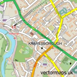
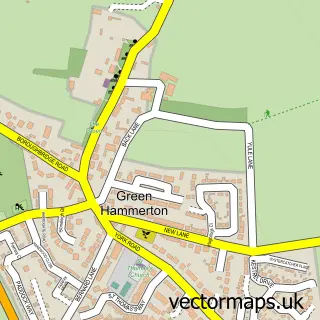
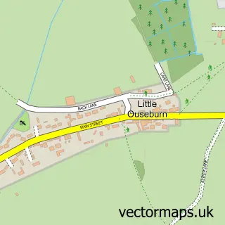
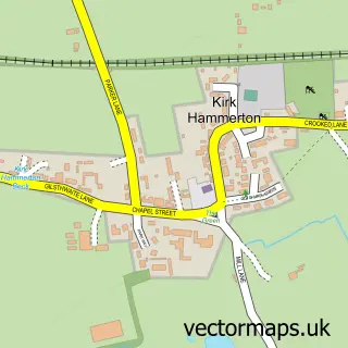
Nearby street map samples around Whixley

Street map sample of Knaresborough, North Yorkshire Knaresborough Town - North Yorkshire - 5.9 miles Street map sample of York, North Yorkshire York City - North Yorkshire - 10.6 miles Street map sample of Green Hammerton, North Yorkshire Green Hammerton Village - North Yorkshire - 1.2 miles Street map sample of Little Ouseburn, North Yorkshire Little Ouseburn Village - North Yorkshire - 1.8 miles Street map sample of Kirk Hammerton, North Yorkshire Kirk Hammerton Village - North Yorkshire - 1.9 miles Street map sample of Cattal, North Yorkshire Cattal Village - North Yorkshire - 2.3 miles Street map sample of Great Ouseburn, North Yorkshire Great Ouseburn Village - North Yorkshire - 2.5 miles Street map sample of Marton-cum-Grafton, North Yorkshire Marton-cum-Grafton Village - North Yorkshire - 3.5 miles Street map sample of Linton-on-Ouse, North Yorkshire Linton-on-Ouse Village - North Yorkshire - 3.5 miles Street map sample of Tockwith, North Yorkshire Tockwith Village - North Yorkshire - 3.7 miles

More street maps in North Yorkshire

Street map sample of Green Hammerton, North Yorkshire Green Hammerton Village - 1.2 miles Street map sample of Little Ouseburn, North Yorkshire Little Ouseburn Village - 1.8 miles Street map sample of Kirk Hammerton, North Yorkshire Kirk Hammerton Village - 1.9 miles Street map sample of Cattal, North Yorkshire Cattal Village - 2.3 miles Street map sample of Great Ouseburn, North Yorkshire Great Ouseburn Village - 2.5 miles

750 metre map area coverage

Boundary, postcode and point of interest information for the 750m x 750m rectangle centred on this sample map.

Boundaries containing map centre

Constituency: Wetherby and Easingwold Co Const

District: North Yorkshire

Icb: NHS Humber and North Yorkshire ICB

Parish: Whixley CP

Police Force: north yorkshire

Postcode District: YO26

Postcode Sector: YO26 8

Nearby boundaries intersecting sample

No additional intersecting boundaries found.

Postcode coverage

YO26 YO26 8

POI category counts

Advertising Agency: 1

Banks: 1

Beauty Salon: 1

Bicycle Shop: 1

Community Center: 1

Driving School: 1

It Service And Computer Repair: 1

Professional Services: 1

Pub: 1

Shopping: 1

Sample points of interest

  • Gemini Marketing Solutions Advertising Agency
  • NatWest Banks
  • Rose Naturel Beauty Salon
  • Spokey Dokey Bikes Bicycle Shop
  • Whixley Village Hall Community Center
  • Emergency Response Driver Training Driving School
  • Black Cat It Solutions Limited It Service And Computer Repair
  • J B Data Solutions Professional Services
  • The Anchor at Whixley Pub
  • Whixley Village Shop Shopping

Create a larger editable map of Whixley

This sample shows only a 750 metre area. To create a larger map of Whixley, use our map builder to choose your own coverage area, add titles and download editable SVG, PDF and PNG files.

Create a custom map of Whixley

Phone 01751 473136 | Copyright Vectormaps.uk 2026

Samples Customizer Privacy Disclaimer
Whixley Vector Street Map
Whixley enlarged street map sample showing a 750 metre preview area