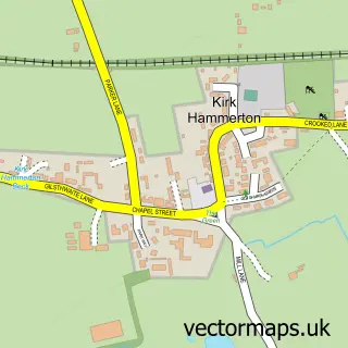
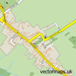
This Green Hammerton street map is a detailed vector street map covering a 750m x 750m area. Select a larger area to create and download your own vector street map of Green Hammerton.
The 750-metre map sample for Green Hammerton covers 374 mapped buildings and approximately 11.3 km of road detail, of which 15 named roads are named. The immediate area includes 1 school, 1 GP surgery and 1 MOT station within 2 miles. The wider area around Green Hammerton features 1 tourism point of interest and 1 food and drink venue. To create a larger or custom map of Green Hammerton, the map builder lets you define your own coverage area and download editable SVG, PDF and PNG files.
Create a larger editable map of Green Hammerton
Choose any area you need and generate a high-quality vector map instantly. Perfect for print, planning, design, business and personal use.

This Green Hammerton street map in North Yorkshire is available as downloadable SVG, PDF and PNG map files, or as a printed map for planning, business, display, education, local information and design work. You can also create a larger custom map area using the map selector.
What this Green Hammerton map sample shows
Green Hammerton lies within Green Hammerton Cp parish, part of Ouseburn ward in the North Yorkshire local authority area. The postcode geography for this area includes the YO postcode area, the YO26 postcode district and the YO26 8 postcode sector. Residents fall under the Nhs Humber And North Yorkshire Integrated Care Board for NHS services.
Local features near Green Hammerton
Within 2 milesAmenities and services in and around Green Hammerton.
Administrative and postcode information for Green Hammerton
The local authority covering Green Hammerton is North Yorkshire, within the county of North Yorkshire. The settlement lies within Ouseburn ward and Green Hammerton Cp civil parish. The YO26 postcode district and YO26 8 postcode sector serve the immediate area. NHS provision in the area is delivered through Harrogate And District Nhs Foundation Trust.
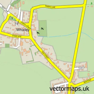
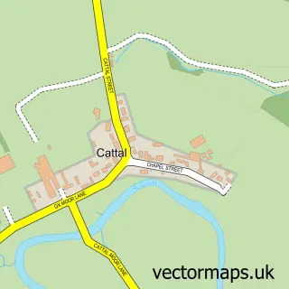
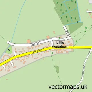
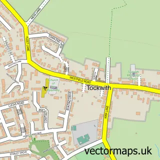
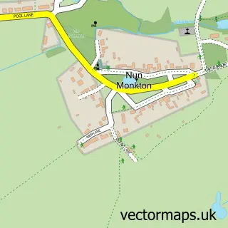
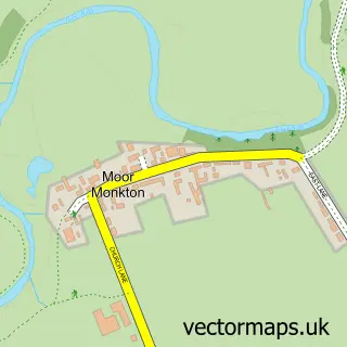
Nearby street map samples around Green Hammerton

More street maps in North Yorkshire
750 metre map area coverage
Boundary, postcode and point of interest information for the 750m x 750m rectangle centred on this sample map.
Boundaries containing map centre
Constituency: Wetherby and Easingwold Co Const
District: North Yorkshire
Icb: NHS Humber and North Yorkshire ICB
Parish: Green Hammerton CP
Police Force: north yorkshire
Postcode District: YO26
Postcode Sector: YO26 8
Nearby boundaries intersecting sample
No additional intersecting boundaries found.
Postcode coverage
POI category counts
Anglican Church: 1
Assisted Living Facility: 1
Bar: 1
Bus Station: 1
Cafe: 1
Community Center: 1
Convenience Store: 1
Elementary School: 1
Family Practice: 1
Furniture Store: 1
Sample points of interest
- Green Hammerton: St Thomas Chapel of Ease
- St Annes Housing Action
- Village Club - Green Hammerton
- Connexions Buses
- Green Hammerton Cafe & Shop
- Green Hammerton Village Hall
- Asda Kirk Hammerton Express Petrol
- Green Hammerton C Of E Primary School
- Springbank Surgery
- Simon J Mack Office Furniture
- Lorna Batchelor
- Emma Mitchell Childminding
Create a larger editable map of Green Hammerton
This sample shows only a 750 metre area. To create a larger map of Green Hammerton, use our map builder to choose your own coverage area, add titles and download editable SVG, PDF and PNG files.
Create a custom map of Green Hammerton