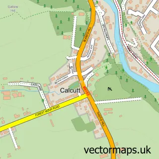
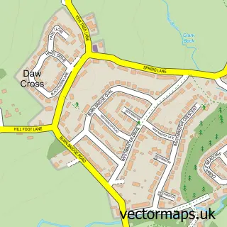
This Knaresborough street map is a detailed vector street map covering a 750m x 750m area. Select a larger area to create and download your own vector street map of Knaresborough.
The 750-metre map sample for Knaresborough covers 466 mapped buildings and approximately 20.5 km of road detail, of which 70 named roads are named. The immediate area includes 1 school, 1 railway station, 2 GP surgeries, with 3 within 2 miles and 22 pubs among other local services. The wider area around Knaresborough features 7 tourism points of interest, 45 food and drink venues and 5 hotels. To create a larger or custom map of Knaresborough, the map builder lets you define your own coverage area and download editable SVG, PDF and PNG files.
Create a larger editable map of Knaresborough
Choose any area you need and generate a high-quality vector map instantly. Perfect for print, planning, design, business and personal use.

This Knaresborough street map in North Yorkshire is available as downloadable SVG, PDF and PNG map files, or as a printed map for planning, business, display, education, local information and design work. You can also create a larger custom map area using the map selector.
What this Knaresborough map sample shows
Knaresborough lies within Knaresborough Cp parish, part of Knaresborough Castle ward in the North Yorkshire local authority area. The postcode geography for this area includes the HG postcode area, the HG5 postcode district and the HG5 0 postcode sector. Residents fall under the Nhs Humber And North Yorkshire Integrated Care Board for NHS services.
Local features near Knaresborough
Within 2 milesAmenities and services in and around Knaresborough.
Administrative and postcode information for Knaresborough
Knaresborough lies within Knaresborough Cp parish, part of Knaresborough Castle ward in the North Yorkshire local authority area. The postcode geography for this area includes the HG postcode area, the HG5 postcode district and the HG5 0 postcode sector. Residents fall under the Nhs Humber And North Yorkshire Integrated Care Board for NHS services.
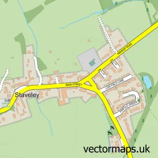
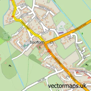
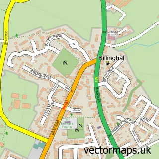
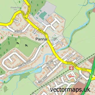
Nearby street map samples around Knaresborough

More street maps in North Yorkshire
750 metre map area coverage
Boundary, postcode and point of interest information for the 750m x 750m rectangle centred on this sample map.
Boundaries containing map centre
Constituency: Harrogate and Knaresborough Co Const
District: North Yorkshire
Icb: NHS Humber and North Yorkshire ICB
Parish: Knaresborough CP
Police Force: north yorkshire
Postcode District: HG5
Postcode Sector: HG5 0
Nearby boundaries intersecting sample
Postcode Sector: HG5 8, HG5 9
Postcode coverage
POI category counts
Pub: 22
Beauty Salon: 16
Hair Salon: 16
Cafe: 14
Flowers And Gifts Shop: 10
Dentist: 9
Clothing Store: 8
Barber: 7
Beauty And Spa: 7
Indian Restaurant: 7
Sample points of interest
- Chapel Court
- Knaresborough King James's Tennis Club
- AP Acupuncture
- Interactive Technical Solutions
- Knaresborough Photo Centre
- SPS Mailing Solutions
- Sarah Nuttall
- Standout Media
- Trees R Us
- Whole Health Therapies
- Knaresborough Anglicans
- Knaresborough: Holy Trinity
Create a larger editable map of Knaresborough
This sample shows only a 750 metre area. To create a larger map of Knaresborough, use our map builder to choose your own coverage area, add titles and download editable SVG, PDF and PNG files.
Create a custom map of Knaresborough