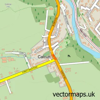
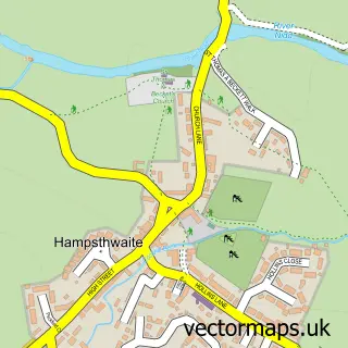
This Harrogate street map is a detailed vector street map covering a 750m x 750m area. Select a larger area to create and download your own vector street map of Harrogate.
The 750-metre map sample for Harrogate covers 264 mapped buildings and approximately 29.6 km of road detail, of which 79 named roads are named. The immediate area includes 2 schools, 1 railway station, 6 GP surgeries within 2 miles and 22 pubs among other local services. The wider area around Harrogate features 7 tourism points of interest, 98 food and drink venues and 14 hotels. To create a larger or custom map of Harrogate, the map builder lets you define your own coverage area and download editable SVG, PDF and PNG files.
Create a larger editable map of Harrogate
Choose any area you need and generate a high-quality vector map instantly. Perfect for print, planning, design, business and personal use.

This Harrogate street map in North Yorkshire is available as downloadable SVG, PDF and PNG map files, or as a printed map for planning, business, display, education, local information and design work. You can also create a larger custom map area using the map selector.
What this Harrogate map sample shows
Harrogate lies within North Yorkshire parish, part of Harrogate Stray ward in the North Yorkshire local authority area. The postcode geography for this area includes the HG postcode area, the HG2 postcode district and the HG2 8 postcode sector. Residents fall under the Nhs Humber And North Yorkshire Integrated Care Board for NHS services.
Local features near Harrogate
Within 2 milesAmenities and services in and around Harrogate.
Administrative and postcode information for Harrogate
The local authority covering Harrogate is North Yorkshire, within the county of North Yorkshire. The settlement lies within Harrogate Stray ward and North Yorkshire civil parish. The HG2 postcode district and HG2 8 postcode sector serve the immediate area. NHS provision in the area is delivered through Harrogate And District Nhs Foundation Trust.
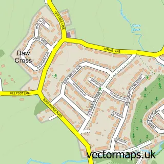
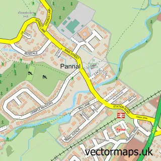
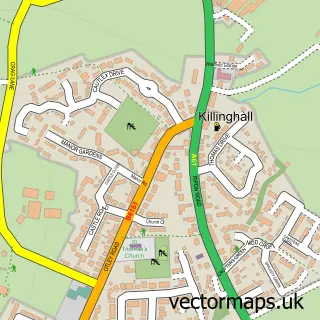
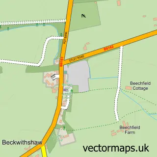
Nearby street map samples around Harrogate

More street maps in North Yorkshire
750 metre map area coverage
Boundary, postcode and point of interest information for the 750m x 750m rectangle centred on this sample map.
Boundaries containing map centre
Constituency: Harrogate and Knaresborough Co Const
District: North Yorkshire
Icb: NHS Humber and North Yorkshire ICB
Parish: Harrogate CP
Police Force: north yorkshire
Postcode District: HG1
Postcode Sector: HG1 1
Nearby boundaries intersecting sample
Postcode District: HG2
Postcode Sector: HG1 2, HG1 5, HG2 0, HG2 8
Postcode coverage
POI category counts
Clothing Store: 46
Real Estate Agent: 38
Beauty Salon: 35
Cafe: 33
Professional Services: 33
Hair Salon: 32
Employment Agencies: 27
Jewelry Store: 27
Pub: 22
Restaurant: 22
Sample points of interest
- North Yorkshire Horizons
- Nightspace Regent House Executive Apartments
- CCF Accountancy Ltd
- Dsc Wealth Management Llp
- Franks Accountants
- HPH, Chartered Accountants
- Holeys Accountants
- LP Connect Ltd
- Lithgow Perkins LLP
- Lithgow Perkins Llp
- Payme Ltd.
- Stringer Mallard
Create a larger editable map of Harrogate
This sample shows only a 750 metre area. To create a larger map of Harrogate, use our map builder to choose your own coverage area, add titles and download editable SVG, PDF and PNG files.
Create a custom map of Harrogate