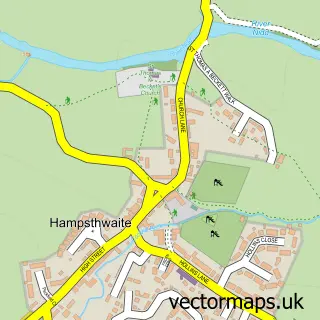
This Beckwithshaw street map is a detailed vector street map covering a 750m x 750m area. Select a larger area to create and download your own vector street map of Beckwithshaw.
The 750-metre map sample for Beckwithshaw covers 48 mapped buildings and approximately 6.0 km of road detail, of which 4 named roads are named. The immediate area includes 1 school and 2 pubs. The wider area around Beckwithshaw features 1 tourism point of interest and 2 food and drink venues. To create a larger or custom map of Beckwithshaw, the map builder lets you define your own coverage area and download editable SVG, PDF and PNG files.
Create a larger editable map of Beckwithshaw
Choose any area you need and generate a high-quality vector map instantly. Perfect for print, planning, design, business and personal use.

This Beckwithshaw street map in North Yorkshire is available as downloadable SVG, PDF and PNG map files, or as a printed map for planning, business, display, education, local information and design work. You can also create a larger custom map area using the map selector.
What this Beckwithshaw map sample shows
Beckwithshaw lies within Beckwithshaw Cp parish, part of Washburn ward in the North Yorkshire local authority area. The postcode geography for this area includes the HG postcode area, the HG3 postcode district and the HG3 1 postcode sector. Residents fall under the Nhs Humber And North Yorkshire Integrated Care Board for NHS services.
Local features near Beckwithshaw
Within 2 milesAmenities and services in and around Beckwithshaw.
Administrative and postcode information for Beckwithshaw
The local authority covering Beckwithshaw is North Yorkshire, within the county of North Yorkshire. The settlement lies within Washburn ward and Beckwithshaw Cp civil parish. The HG3 postcode district and HG3 1 postcode sector serve the immediate area. NHS provision in the area is delivered through Harrogate And District Nhs Foundation Trust.
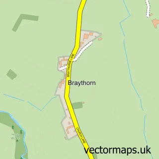
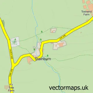
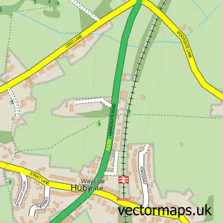
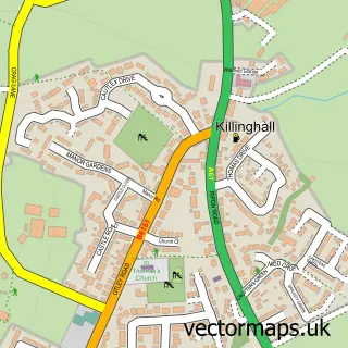
Nearby street map samples around Beckwithshaw
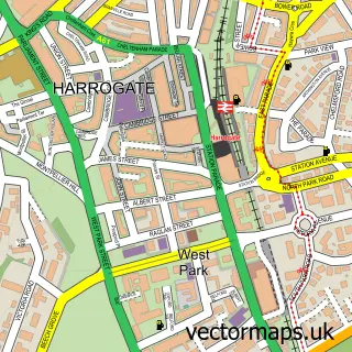

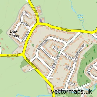
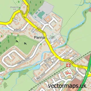
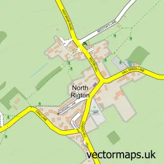
More street maps in North Yorkshire
750 metre map area coverage
Boundary, postcode and point of interest information for the 750m x 750m rectangle centred on this sample map.
Boundaries containing map centre
Constituency: Skipton and Ripon Co Const
District: North Yorkshire
Icb: NHS Humber and North Yorkshire ICB
Parish: Beckwithshaw CP
Police Force: north yorkshire
Postcode District: HG3
Postcode Sector: HG3 1
Nearby boundaries intersecting sample
No additional intersecting boundaries found.
Postcode coverage
POI category counts
Pub: 2
Anglican Church: 1
Church Cathedral: 1
Cricket Ground: 1
Elementary School: 1
Gastropub: 1
Holiday Rental Home: 1
Industrial Equipment: 1
Kids Recreation And Party: 1
Landmark And Historical Building: 1
Sample points of interest
- St Michael & All Angels', Beckwithshaw
- Church of St Michael and All Angels, Beckwithshaw
- Beckwithshaw Cricket Club
- Beckwithshaw Community Primary School
- The Smith's Arms
- The Threshing Barn
- UK Forks
- A Harrogate Livery
- Beckwithshaw
- Anne Paraskos Dog Walking Service
- ESS Safeforce
- Smiths Arms
Create a larger editable map of Beckwithshaw
This sample shows only a 750 metre area. To create a larger map of Beckwithshaw, use our map builder to choose your own coverage area, add titles and download editable SVG, PDF and PNG files.
Create a custom map of Beckwithshaw