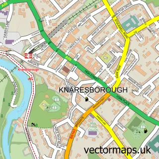
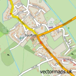
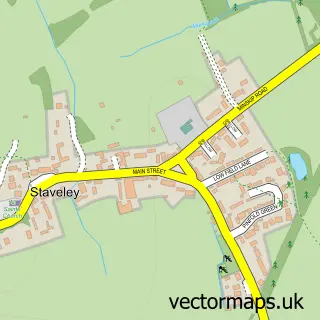
This Calcutt street map is a detailed vector street map covering a 750m x 750m area. Select a larger area to create and download your own vector street map of Calcutt.
The 750-metre map sample for Calcutt covers 230 mapped buildings and approximately 9.6 km of road detail, of which 16 named roads are named. The immediate area includes 3 GP surgeries within 2 miles, 1 pub and 15 MOT stations within 2 miles. The wider area around Calcutt features 2 food and drink venues and 1 campsite within 2 miles. To create a larger or custom map of Calcutt, the map builder lets you define your own coverage area and download editable SVG, PDF and PNG files.
Create a larger editable map of Calcutt
Choose any area you need and generate a high-quality vector map instantly. Perfect for print, planning, design, business and personal use.

This Calcutt street map in North Yorkshire is available as downloadable SVG, PDF and PNG map files, or as a printed map for planning, business, display, education, local information and design work. You can also create a larger custom map area using the map selector.
What this Calcutt map sample shows
Calcutt lies within Knaresborough Cp parish, part of Knaresborough Castle ward in the North Yorkshire local authority area. The postcode geography for this area includes the HG postcode area, the HG5 postcode district and the HG5 0 postcode sector. Residents fall under the Nhs Humber And North Yorkshire Integrated Care Board for NHS services.
Local features near Calcutt
Within 2 milesAmenities and services in and around Calcutt.
Administrative and postcode information for Calcutt
Calcutt lies within Knaresborough Cp parish, part of Knaresborough Castle ward in the North Yorkshire local authority area. The postcode geography for this area includes the HG postcode area, the HG5 postcode district and the HG5 0 postcode sector. Residents fall under the Nhs Humber And North Yorkshire Integrated Care Board for NHS services.
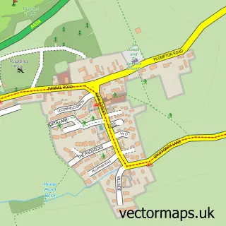
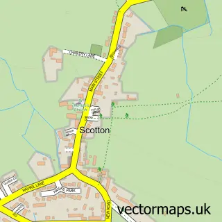
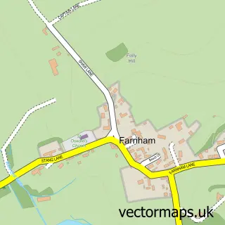
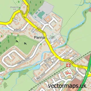
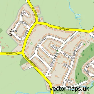
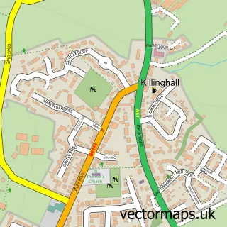
Nearby street map samples around Calcutt

More street maps in North Yorkshire
750 metre map area coverage
Boundary, postcode and point of interest information for the 750m x 750m rectangle centred on this sample map.
Boundaries containing map centre
Constituency: Harrogate and Knaresborough Co Const
District: North Yorkshire
Icb: NHS Humber and North Yorkshire ICB
Parish: Knaresborough CP
Police Force: north yorkshire
Postcode District: HG5
Postcode Sector: HG5 8
Nearby boundaries intersecting sample
No additional intersecting boundaries found.
Postcode coverage
POI category counts
Driving School: 2
Framing Store: 2
Gym: 2
Antique Store: 1
Aquarium: 1
Building Supply Store: 1
Carpenter: 1
Community Center: 1
Courier And Delivery Services: 1
Cricket Ground: 1
Sample points of interest
- Bowkett Antiques
- Harrogate Aquatic
- Vision Landscapes
- Graham James Ord
- Calcutt Village Hall, Knaresborough
- Wells Cargo European
- Knaresborough Forest Cricket Club
- Chris & Janes Driving School
- Chris And Janes Driving School
- Big Media Company
- Vasstech Garage Services
- Moorland Nurseries
Create a larger editable map of Calcutt
This sample shows only a 750 metre area. To create a larger map of Calcutt, use our map builder to choose your own coverage area, add titles and download editable SVG, PDF and PNG files.
Create a custom map of Calcutt