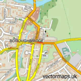
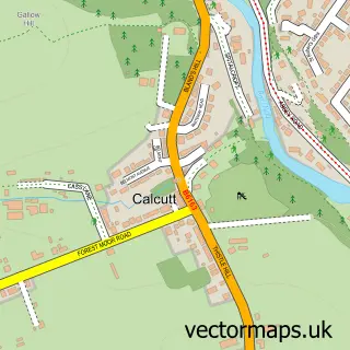
This Staveley street map is a detailed vector street map covering a 750m x 750m area. Select a larger area to create and download your own vector street map of Staveley.
The 750-metre map sample for Staveley covers 166 mapped buildings and approximately 5.2 km of road detail, of which 6 named roads are named. The immediate area includes 1 school, 1 pub and 1 MOT station within 2 miles. The wider area around Staveley features 1 food and drink venue. To create a larger or custom map of Staveley, the map builder lets you define your own coverage area and download editable SVG, PDF and PNG files.
Create a larger editable map of Staveley
Choose any area you need and generate a high-quality vector map instantly. Perfect for print, planning, design, business and personal use.

This Staveley street map in North Yorkshire is available as downloadable SVG, PDF and PNG map files, or as a printed map for planning, business, display, education, local information and design work. You can also create a larger custom map area using the map selector.
What this Staveley map sample shows
Staveley lies within Staveley Cp parish, part of Claro ward in the North Yorkshire local authority area. The postcode geography for this area includes the HG postcode area, the HG5 postcode district and the HG5 9 postcode sector. Residents fall under the Nhs Humber And North Yorkshire Integrated Care Board for NHS services.
Local features near Staveley
Within 2 milesAmenities and services in and around Staveley.
Administrative and postcode information for Staveley
Staveley lies within Staveley Cp parish, part of Claro ward in the North Yorkshire local authority area. The postcode geography for this area includes the HG postcode area, the HG5 postcode district and the HG5 9 postcode sector. Residents fall under the Nhs Humber And North Yorkshire Integrated Care Board for NHS services.
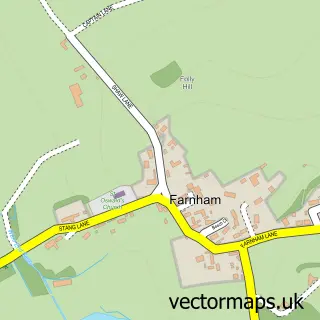
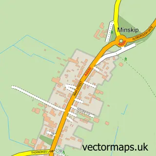
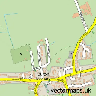
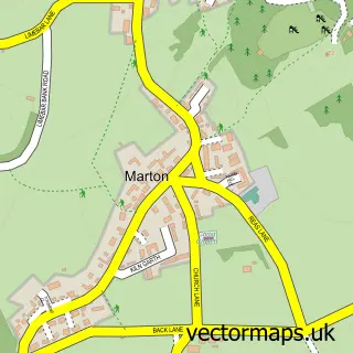
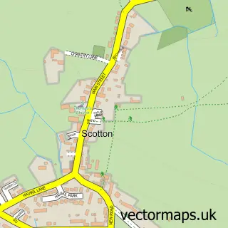
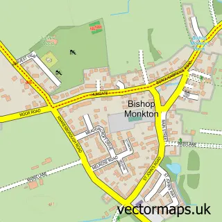
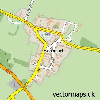
Nearby street map samples around Staveley

More street maps in North Yorkshire
750 metre map area coverage
Boundary, postcode and point of interest information for the 750m x 750m rectangle centred on this sample map.
Boundaries containing map centre
Constituency: Harrogate and Knaresborough Co Const
District: North Yorkshire
Icb: NHS Humber and North Yorkshire ICB
Parish: Staveley CP
Police Force: north yorkshire
Postcode District: HG5
Postcode Sector: HG5 9
Nearby boundaries intersecting sample
No additional intersecting boundaries found.
Postcode coverage
POI category counts
Elementary School: 3
Post Office: 2
Advertising Agency: 1
Anglican Church: 1
Bounce House Rental: 1
Building Contractor: 1
Building Supply Store: 1
Caterer: 1
Charity Organization: 1
Community Center: 1
Sample points of interest
- Capitalm Associates
- Staveley: All Saints
- Bounce-Alot Castles
- Kevin Smith Window Cleaners
- SJ Landscapes & Trees
- French Chef At Home
- Elizabeth Finn Care
- Staveley & Copgrove Village Hall
- Staveley Community Primary School
- Staveley Community Primary School
- Staveley Community Primary and Nursery School
- Bounce-Alot Castles
Create a larger editable map of Staveley
This sample shows only a 750 metre area. To create a larger map of Staveley, use our map builder to choose your own coverage area, add titles and download editable SVG, PDF and PNG files.
Create a custom map of Staveley