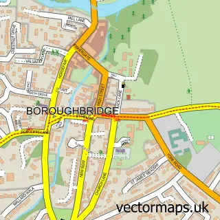
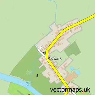
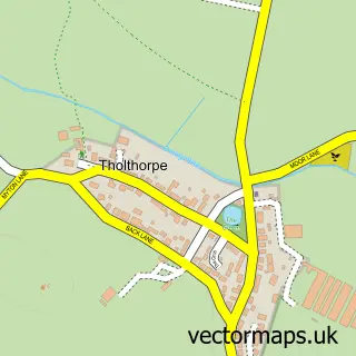
This Aldborough street map is a detailed vector street map covering a 750m x 750m area. Select a larger area to create and download your own vector street map of Aldborough.
The 750-metre map sample for Aldborough covers 114 mapped buildings and approximately 17.4 km of road detail, of which 6 named roads are named. The immediate area includes 1 GP surgery within 2 miles, 1 pub and 8 MOT stations within 2 miles. The wider area around Aldborough features 2 tourism points of interest, 2 food and drink venues and 2 campsites within 2 miles. To create a larger or custom map of Aldborough, the map builder lets you define your own coverage area and download editable SVG, PDF and PNG files.
Create a larger editable map of Aldborough
Choose any area you need and generate a high-quality vector map instantly. Perfect for print, planning, design, business and personal use.

This Aldborough street map in North Yorkshire is available as downloadable SVG, PDF and PNG map files, or as a printed map for planning, business, display, education, local information and design work. You can also create a larger custom map area using the map selector.
What this Aldborough map sample shows
Aldborough lies within Boroughbridge Cp parish, part of Boroughbridge ward in the North Yorkshire local authority area. The postcode geography for this area includes the YO postcode area, the YO51 postcode district and the YO51 9 postcode sector. Residents fall under the Nhs Humber And North Yorkshire Integrated Care Board for NHS services.
Local features near Aldborough
Within 2 milesAmenities and services in and around Aldborough.
Administrative and postcode information for Aldborough
Aldborough lies within Boroughbridge Cp parish, part of Boroughbridge ward in the North Yorkshire local authority area. The postcode geography for this area includes the YO postcode area, the YO51 postcode district and the YO51 9 postcode sector. Residents fall under the Nhs Humber And North Yorkshire Integrated Care Board for NHS services.
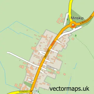
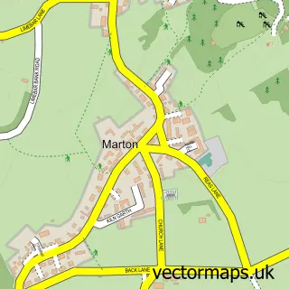
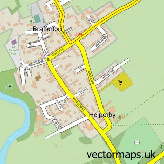
Nearby street map samples around Aldborough

More street maps in North Yorkshire
750 metre map area coverage
Boundary, postcode and point of interest information for the 750m x 750m rectangle centred on this sample map.
Boundaries containing map centre
Constituency: Wetherby and Easingwold Co Const
District: North Yorkshire
Icb: NHS Humber and North Yorkshire ICB
Parish: Boroughbridge CP
Police Force: north yorkshire
Postcode District: YO51
Postcode Sector: YO51 9
Nearby boundaries intersecting sample
No additional intersecting boundaries found.
Postcode coverage
POI category counts
Agricultural Service: 1
Anglican Church: 1
Art Museum: 1
Arts And Entertainment: 1
Betting Center: 1
Church Cathedral: 1
Contractor: 1
Dog Park: 1
History Museum: 1
Landmark And Historical Building: 1
Sample points of interest
- BoviAid Ltd
- Aldborough: St Andrew
- Aldborough Roman Site
- Aldborough Roman Town
- Ladbrokes
- St Andrew's Church
- Tile-Tech
- Happy Paws Dog Park
- English Heritage:- Aldborough Roman Site
- Isurium Brigantum
- Northern Aldborough Festival
- The Ship Inn
Create a larger editable map of Aldborough
This sample shows only a 750 metre area. To create a larger map of Aldborough, use our map builder to choose your own coverage area, add titles and download editable SVG, PDF and PNG files.
Create a custom map of Aldborough