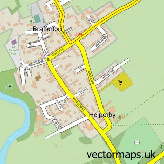
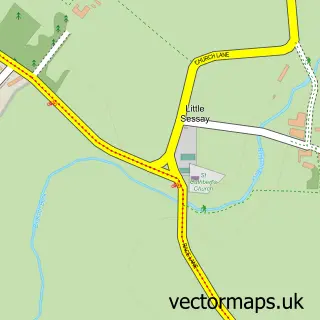
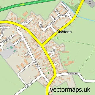
This Brafferton street map is a detailed vector street map covering a 750m x 750m area. Select a larger area to create and download your own vector street map of Brafferton.
The 750-metre map sample for Brafferton covers 216 mapped buildings and approximately 10.0 km of road detail, of which 16 named roads are named. The immediate area includes 1 school and 1 pub. The wider area around Brafferton features 1 food and drink venue and 1 hotel. To create a larger or custom map of Brafferton, the map builder lets you define your own coverage area and download editable SVG, PDF and PNG files.
Create a larger editable map of Brafferton
Choose any area you need and generate a high-quality vector map instantly. Perfect for print, planning, design, business and personal use.

This Brafferton street map in North Yorkshire is available as downloadable SVG, PDF and PNG map files, or as a printed map for planning, business, display, education, local information and design work. You can also create a larger custom map area using the map selector.
What this Brafferton map sample shows
Brafferton lies within Brafferton And Helperby Cp parish, part of Raskelf & White Horse ward in the North Yorkshire local authority area. The postcode geography for this area includes the YO postcode area, the YO61 postcode district and the YO61 2 postcode sector. Residents fall under the Nhs Humber And North Yorkshire Integrated Care Board for NHS services.
Local features near Brafferton
Within 2 milesAmenities and services in and around Brafferton.
Administrative and postcode information for Brafferton
Brafferton lies within Brafferton And Helperby Cp parish, part of Raskelf & White Horse ward in the North Yorkshire local authority area. The postcode geography for this area includes the YO postcode area, the YO61 postcode district and the YO61 2 postcode sector. Residents fall under the Nhs Humber And North Yorkshire Integrated Care Board for NHS services.
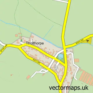
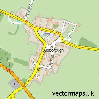
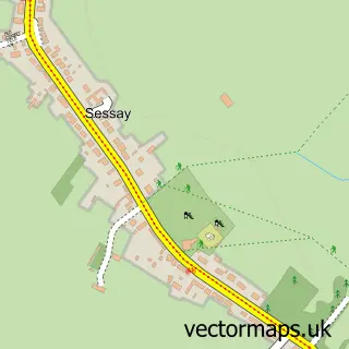
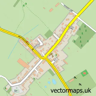
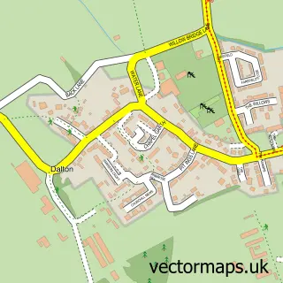
Nearby street map samples around Brafferton

More street maps in North Yorkshire
750 metre map area coverage
Boundary, postcode and point of interest information for the 750m x 750m rectangle centred on this sample map.
Boundaries containing map centre
Constituency: Wetherby and Easingwold Co Const
District: North Yorkshire
Icb: NHS Humber and North Yorkshire ICB
Parish: Brafferton and Helperby CP
Police Force: north yorkshire
Postcode District: YO61
Postcode Sector: YO61 2
Nearby boundaries intersecting sample
Parish: Humberton CP, Thornton Bridge CP
Postcode coverage
POI category counts
Building Supply Store: 2
Anglican Church: 1
Automotive Repair: 1
Butcher Shop: 1
Carpet Cleaning: 1
Clothing Store: 1
Discount Store: 1
Doctor: 1
Elementary School: 1
Fishing Club: 1
Sample points of interest
- St Peter's Church - Brafferton
- Pete Nelson Motor Services
- Clearhill & Fox
- Next Generation Electrical Services
- Hartley
- GForce Carpet Cleaning
- Marrkt
- Kirby's Bargains York
- Church Lane Surgery
- St Peter's Brafferton C of E V a Primary School
- Brafferton Carp Fishery
- Stitch 'N' Go
Create a larger editable map of Brafferton
This sample shows only a 750 metre area. To create a larger map of Brafferton, use our map builder to choose your own coverage area, add titles and download editable SVG, PDF and PNG files.
Create a custom map of Brafferton