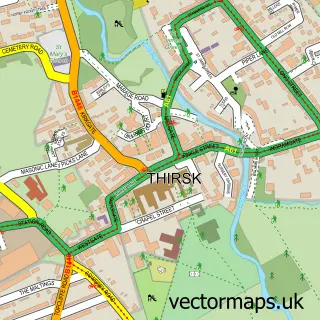
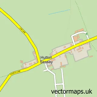
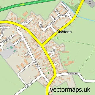
This Dalton street map is a detailed vector street map covering a 750m x 750m area. Select a larger area to create and download your own vector street map of Dalton.
The 750-metre map sample for Dalton covers 235 mapped buildings and approximately 9.4 km of road detail, of which 13 named roads are named. The immediate area includes 1 GP surgery within 2 miles, 1 pub and 1 MOT station, with 2 within 2 miles. The wider area around Dalton features 2 tourism points of interest, 1 food and drink venue and 1 campsite within 2 miles. To create a larger or custom map of Dalton, the map builder lets you define your own coverage area and download editable SVG, PDF and PNG files.
Create a larger editable map of Dalton
Choose any area you need and generate a high-quality vector map instantly. Perfect for print, planning, design, business and personal use.

This Dalton street map in North Yorkshire is available as downloadable SVG, PDF and PNG map files, or as a printed map for planning, business, display, education, local information and design work. You can also create a larger custom map area using the map selector.
What this Dalton map sample shows
Dalton lies within Dalton Cp parish, part of Sowerby & Topcliffe ward in the North Yorkshire local authority area. The postcode geography for this area includes the YO postcode area, the YO7 postcode district and the YO7 3 postcode sector. Residents fall under the Nhs Humber And North Yorkshire Integrated Care Board for NHS services.
Local features near Dalton
Within 2 milesAmenities and services in and around Dalton.
Administrative and postcode information for Dalton
The local authority covering Dalton is North Yorkshire, within the county of North Yorkshire. The settlement lies within Sowerby & Topcliffe ward and Dalton Cp civil parish. The YO7 postcode district and YO7 3 postcode sector serve the immediate area. NHS provision in the area is delivered through South Tees Hospitals Nhs Foundation Trust.
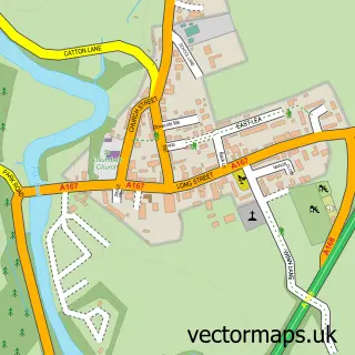
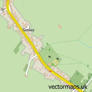
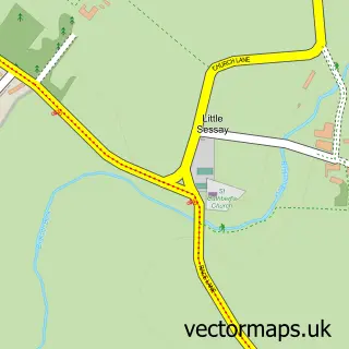
Nearby street map samples around Dalton

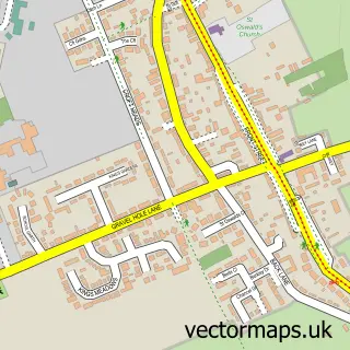
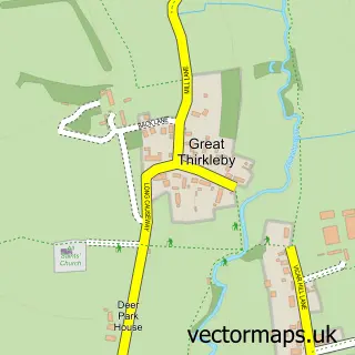
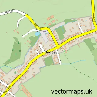
More street maps in North Yorkshire
750 metre map area coverage
Boundary, postcode and point of interest information for the 750m x 750m rectangle centred on this sample map.
Boundaries containing map centre
Constituency: Thirsk and Malton Co Const
District: North Yorkshire
Icb: NHS Humber and North Yorkshire ICB
Parish: Dalton CP
Police Force: north yorkshire
Postcode District: YO7
Postcode Sector: YO7 3
Nearby boundaries intersecting sample
No additional intersecting boundaries found.
Postcode coverage
POI category counts
Advertising Agency: 1
Agriculture: 1
Automotive Repair: 1
Bridal Shop: 1
Business Management Services: 1
Educational Services: 1
Graphic Designer: 1
Holiday Rental Home: 1
Home Improvement Store: 1
Landmark And Historical Building: 1
Sample points of interest
- Hot Toddi
- Brockhills Of Yorkshire
- Springfield Garage Ltd
- All Events Great and Small
- Keepsafe
- Enterprise North Yorkshire
- BSD Creative
- Jasmine Cottage
- Patersons of Thirsk
- Dalton Thirsk
- Wantedd Ltd
- Hot Toddi
Create a larger editable map of Dalton
This sample shows only a 750 metre area. To create a larger map of Dalton, use our map builder to choose your own coverage area, add titles and download editable SVG, PDF and PNG files.
Create a custom map of Dalton