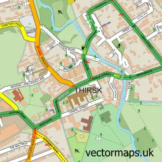
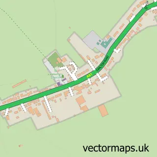
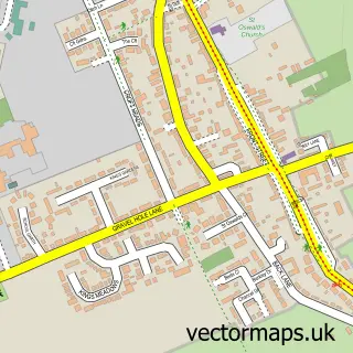
This Topcliffe street map is a detailed vector street map covering a 750m x 750m area. Select a larger area to create and download your own vector street map of Topcliffe.
The 750-metre map sample for Topcliffe covers 186 mapped buildings and approximately 13.5 km of road detail, of which 13 named roads are named. The immediate area includes 1 school, 1 GP surgery, 2 pubs and 1 MOT station within 2 miles. The wider area around Topcliffe features 1 tourism point of interest and 2 food and drink venues. To create a larger or custom map of Topcliffe, the map builder lets you define your own coverage area and download editable SVG, PDF and PNG files.
Create a larger editable map of Topcliffe
Choose any area you need and generate a high-quality vector map instantly. Perfect for print, planning, design, business and personal use.

This Topcliffe street map in North Yorkshire is available as downloadable SVG, PDF and PNG map files, or as a printed map for planning, business, display, education, local information and design work. You can also create a larger custom map area using the map selector.
What this Topcliffe map sample shows
Topcliffe lies within Topcliffe Cp parish, part of Sowerby & Topcliffe ward in the North Yorkshire local authority area. The postcode geography for this area includes the YO postcode area, the YO7 postcode district and the YO7 3 postcode sector. Residents fall under the Nhs Humber And North Yorkshire Integrated Care Board for NHS services.
Local features near Topcliffe
Within 2 milesAmenities and services in and around Topcliffe.
Administrative and postcode information for Topcliffe
The local authority covering Topcliffe is North Yorkshire, within the county of North Yorkshire. The settlement lies within Sowerby & Topcliffe ward and Topcliffe Cp civil parish. The YO7 postcode district and YO7 3 postcode sector serve the immediate area. NHS provision in the area is delivered through South Tees Hospitals Nhs Foundation Trust.
Nearby street map samples around Topcliffe

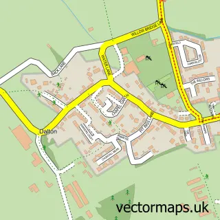
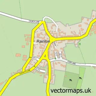
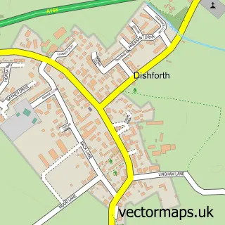
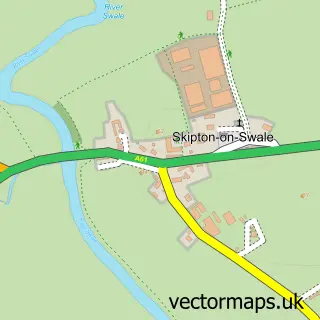
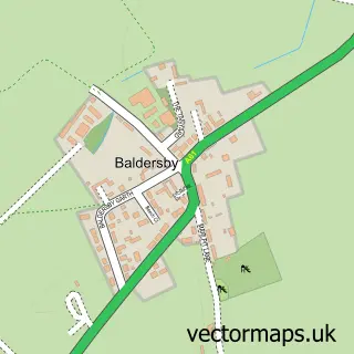
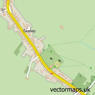
More street maps in North Yorkshire
750 metre map area coverage
Boundary, postcode and point of interest information for the 750m x 750m rectangle centred on this sample map.
Boundaries containing map centre
Constituency: Thirsk and Malton Co Const
District: North Yorkshire
Icb: NHS Humber and North Yorkshire ICB
Parish: Topcliffe CP
Police Force: north yorkshire
Postcode District: YO7
Postcode Sector: YO7 3
Nearby boundaries intersecting sample
Constituency: Skipton and Ripon Co Const
Parish: Asenby CP
Postcode coverage
POI category counts
Post Office: 3
Accommodation: 2
Pub: 2
Anglican Church: 1
Art Gallery: 1
Cabin: 1
Campground: 1
Carpenter: 1
Church Cathedral: 1
Contractor: 1
Sample points of interest
- Topcliffe
- Topcliffe Village
- St Columba's, Topcliffe
- The Elm Gallery
- Big Van Adventures - Camper Van Hire
- Swaleside Holiday Park
- CLV Parker & Son
- St Columba's Church
- JAB Agricultural Contractors Limited
- Topcliffe Surgery
- Straight Shooters Ltd.
- Swaleside Country Park
Create a larger editable map of Topcliffe
This sample shows only a 750 metre area. To create a larger map of Topcliffe, use our map builder to choose your own coverage area, add titles and download editable SVG, PDF and PNG files.
Create a custom map of Topcliffe