Vector Maps logo
Home Why it works Popular maps Districts Samples Customizer Create Your Map
VectorMaps.uk
Home Popular maps Districts Samples Customizer Create Your Map Privacy Disclaimer
Home / UK Maps / North Yorkshire / Boroughbridge Map

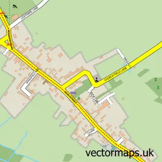
This Boroughbridge street map is a detailed vector street map covering a 750m x 750m area. Select a larger area to create and download your own vector street map of Boroughbridge.

Boroughbridge is a town in North Yorkshire, in the Yorkshire And The Humber of England. Historically, the area formed part of Yorkshire. The settlement falls within the Harrogate And Knaresborough parliamentary constituency. It is served by the YO51 postc

The 750-metre map sample for Boroughbridge covers 435 mapped buildings and approximately 15.7 km of road detail, of which 27 named roads are named. The immediate area includes 1 school, 1 GP surgery, 4 pubs and 8 MOT stations within 2 miles. The wider area around Boroughbridge features 3 tourism points of interest, 12 food and drink venues and 1 hotel. To create a larger or custom map of Boroughbridge, the map builder lets you define your own coverage area and download editable SVG, PDF and PNG files.

435Buildings
15.66 kmRoads
27Named roads
2,643Residents within 2 miles
Create your own

Create a larger editable map of Boroughbridge

Choose any area you need and generate a high-quality vector map instantly. Perfect for print, planning, design, business and personal use.

Choose any location
Editable SVG files
Any size up to A0
PDF, PNG & more
Instant download
High quality guaranteed
Create My Custom Map
Secure, private & no credit card required
Boroughbridge Vector Street Map
750m Sample
Boroughbridge vector street map sample showing roads, buildings and local features in a 750 metre preview area
Buy Boroughbridge Map Print from £12.95 Buy Boroughbridge Digital Map from £6

This Boroughbridge street map in North Yorkshire is available as downloadable SVG, PDF and PNG map files, or as a printed map for planning, business, display, education, local information and design work. You can also create a larger custom map area using the map selector.

What this Boroughbridge map sample shows

Boroughbridge lies within Boroughbridge Cp parish, part of Boroughbridge ward in the North Yorkshire local authority area. The postcode geography for this area includes the YO postcode area, the YO51 postcode district and the YO51 9 postcode sector. Residents fall under the Nhs Humber And North Yorkshire Integrated Care Board for NHS services.

Local features near Boroughbridge

Within 2 miles

Amenities and services in and around Boroughbridge.

1 Schools
2 Campsites within 2 miles
1 GP surgeries 1 within 2 miles
8 MOT stations within 2 miles
3 Tourism & leisure
12 Food & drink
4 Pubs
1 Hotels
1 Healthcare POIs
1 Vehicle services

Counts are approximate and based on publicly available data.

Administrative and postcode information for Boroughbridge

The local authority covering Boroughbridge is North Yorkshire, within the county of North Yorkshire. The settlement lies within Boroughbridge ward and Boroughbridge Cp civil parish. The YO51 postcode district and YO51 9 postcode sector serve the immediate area. NHS provision in the area is delivered through Harrogate And District Nhs Foundation Trust.

Parish Boroughbridge CP
Ward Boroughbridge
District / local authority North Yorkshire
County North Yorkshire
Historic county Yorkshire
Postcode district YO51
Postcode sector YO51 9
Parliamentary constituency Harrogate and Knaresborough
Region Yorkshire and the Humber
Country England

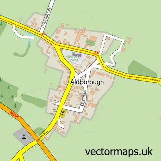
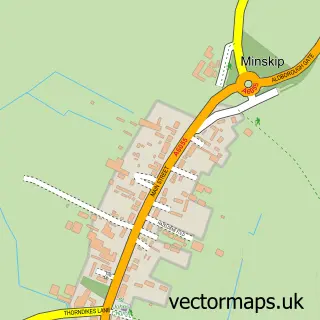
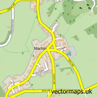
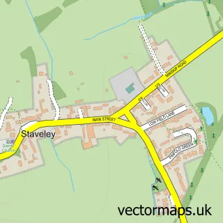
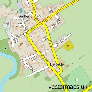
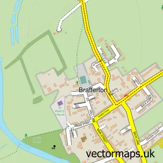
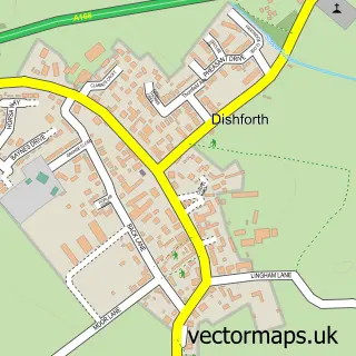
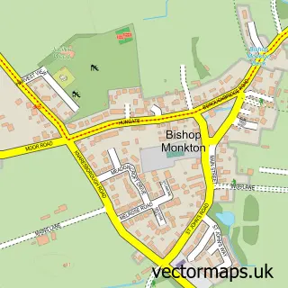
Nearby street map samples around Boroughbridge

Street map sample of Ripon, North Yorkshire Ripon City - North Yorkshire - 6.0 miles Street map sample of Aldborough, North Yorkshire Aldborough Village - North Yorkshire - 0.6 miles Street map sample of Minskip, North Yorkshire Minskip Village - North Yorkshire - 1.3 miles Street map sample of Marton-cum-Grafton, North Yorkshire Marton-cum-Grafton Village - North Yorkshire - 2.7 miles Street map sample of Staveley, North Yorkshire Staveley Village - North Yorkshire - 3.1 miles Street map sample of Helperby, North Yorkshire Helperby Village - North Yorkshire - 3.3 miles Street map sample of Brafferton, North Yorkshire Brafferton Village - North Yorkshire - 3.4 miles Street map sample of Dishforth, North Yorkshire Dishforth Village - North Yorkshire - 4.1 miles Street map sample of Bishop Monkton, North Yorkshire Bishop Monkton Village - North Yorkshire - 4.3 miles Street map sample of Great Ouseburn, North Yorkshire Great Ouseburn Village - North Yorkshire - 4.4 miles

More street maps in North Yorkshire

Street map sample of Aldborough, North Yorkshire Aldborough Village - 0.6 miles Street map sample of Minskip, North Yorkshire Minskip Village - 1.3 miles Street map sample of Marton-cum-Grafton, North Yorkshire Marton-cum-Grafton Village - 2.7 miles Street map sample of Staveley, North Yorkshire Staveley Village - 3.1 miles Street map sample of Helperby, North Yorkshire Helperby Village - 3.3 miles

750 metre map area coverage

Boundary, postcode and point of interest information for the 750m x 750m rectangle centred on this sample map.

Boundaries containing map centre

Constituency: Wetherby and Easingwold Co Const

District: North Yorkshire

Icb: NHS Humber and North Yorkshire ICB

Parish: Boroughbridge CP

Police Force: north yorkshire

Postcode District: YO51

Postcode Sector: YO51 9

Nearby boundaries intersecting sample

Parish: Langthorpe CP

Postcode coverage

YO51 YO51 9

POI category counts

Bakery: 6

Hair Salon: 6

Beauty Salon: 5

Butcher Shop: 4

Clothing Store: 4

Coffee Shop: 4

Flowers And Gifts Shop: 4

Pub: 4

Banks: 3

Cafe: 3

Sample points of interest

  • Hype Marketing UK Advertising Agency
  • 4 Wheels Carriage Co. Airport Shuttles
  • Boroughbridge: St James Anglican Church
  • Market Square Antiques Antique Store
  • G Craggs Appliance Store
  • G Craggs Ltd. Appliance Store
  • Art By Mike Ramshaw Art Gallery
  • St Anne's Community Services Assisted Living Facility
  • Core Vehicle Solutions Yorkshire Automobile Leasing
  • CHARLTONS BOROUGHBRIDGE SERVICE CENTRE Automotive Repair
  • Crumb and Comb Bakery
  • Gilchrist the Family Bakers Bakery

Create a larger editable map of Boroughbridge

This sample shows only a 750 metre area. To create a larger map of Boroughbridge, use our map builder to choose your own coverage area, add titles and download editable SVG, PDF and PNG files.

Create a custom map of Boroughbridge

Phone 01751 473136 | Copyright Vectormaps.uk 2026

Samples Customizer Privacy Disclaimer
Boroughbridge Vector Street Map
Boroughbridge enlarged street map sample showing a 750 metre preview area