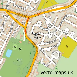
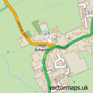
This Featherstone street map is a detailed vector street map covering a 750m x 750m area. Select a larger area to create and download your own vector street map of Featherstone.
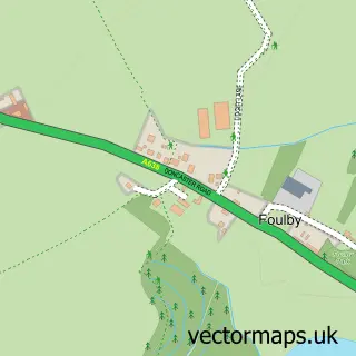
The 750-metre map sample for Featherstone covers 309 mapped buildings and approximately 18.0 km of road detail, of which 41 named roads are named. The immediate area includes 1 school, 1 railway station, 1 GP surgery, with 2 within 2 miles and 2 pubs among other local services. The wider area around Featherstone features 1 tourism point of interest and 8 food and drink venues. To create a larger or custom map of Featherstone, the map builder lets you define your own coverage area and download editable SVG, PDF and PNG files.
Create a larger editable map of Featherstone
Choose any area you need and generate a high-quality vector map instantly. Perfect for print, planning, design, business and personal use.

This Featherstone street map in West Yorkshire is available as downloadable SVG, PDF and PNG map files, or as a printed map for planning, business, display, education, local information and design work. You can also create a larger custom map area using the map selector.
What this Featherstone map sample shows
Featherstone lies within Featherstone Cp parish, part of Featherstone ward in the Wakefield District (B) local authority area. The postcode geography for this area includes the WF postcode area, the WF7 postcode district and the WF7 6 postcode sector. Residents fall under the Nhs West Yorkshire Integrated Care Board for NHS services.
Local features near Featherstone
Within 2 milesAmenities and services in and around Featherstone.
Administrative and postcode information for Featherstone
Featherstone lies within Featherstone Cp parish, part of Featherstone ward in the Wakefield District (B) local authority area. The postcode geography for this area includes the WF postcode area, the WF7 postcode district and the WF7 6 postcode sector. Residents fall under the Nhs West Yorkshire Integrated Care Board for NHS services.
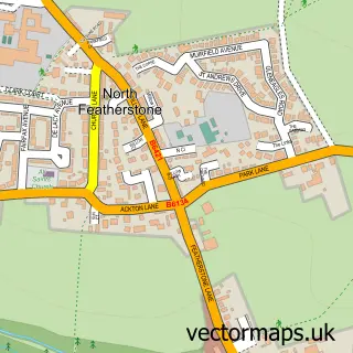
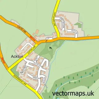
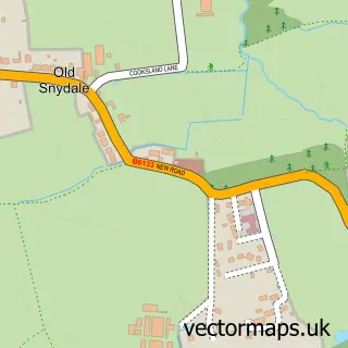
Nearby street map samples around Featherstone

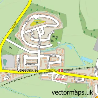
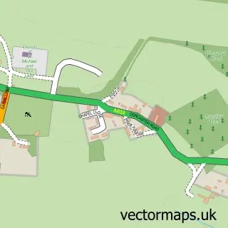
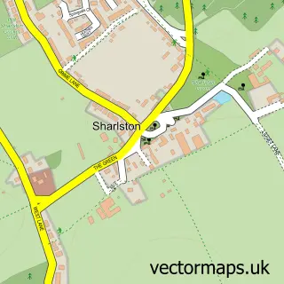
More street maps in West Yorkshire
750 metre map area coverage
Boundary, postcode and point of interest information for the 750m x 750m rectangle centred on this sample map.
Boundaries containing map centre
Constituency: Normanton and Hemsworth Co Const
District: Wakefield District (B)
Icb: NHS West Yorkshire ICB
Parish: Featherstone CP
Police Force: west yorkshire
Postcode District: WF7
Postcode Sector: WF7 5
Ward: Featherstone Ward
Nearby boundaries intersecting sample
Postcode Sector: WF7 6
Postcode coverage
POI category counts
Beauty Salon: 6
Building Supply Store: 4
Sports Club And League: 4
Antique Store: 3
Cafe: 3
Church Cathedral: 3
Clothing Store: 3
Hair Salon: 3
Indian Restaurant: 3
Pizza Restaurant: 3
Sample points of interest
- Train Treat Repeat Sports Therapy
- Anna's Degue
- St Thomas
- A645 Trading Post
- Prince of Wales Hospice Shop
- The A645 Trading Post
- J & A Bunting
- Featherstone D I Y
- Lite nite entertainment
- ATM (Post Office)
- Yorkshire Bank
- CC Bodywork Limited
Create a larger editable map of Featherstone
This sample shows only a 750 metre area. To create a larger map of Featherstone, use our map builder to choose your own coverage area, add titles and download editable SVG, PDF and PNG files.
Create a custom map of Featherstone