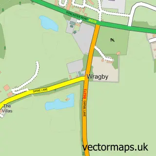
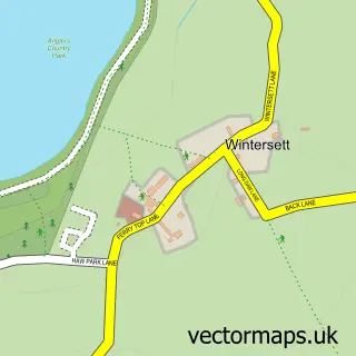
This Wragby street map is a detailed vector street map covering a 750m x 750m area. Select a larger area to create and download your own vector street map of Wragby.
The 750-metre map sample for Wragby covers 40 mapped buildings and approximately 4.4 km of road detail, of which 5 named roads are named. The immediate area includes 2 GP surgeries within 2 miles, 2 pubs and 5 MOT stations within 2 miles. The wider area around Wragby features 2 food and drink venues. To create a larger or custom map of Wragby, the map builder lets you define your own coverage area and download editable SVG, PDF and PNG files.
Create a larger editable map of Wragby
Choose any area you need and generate a high-quality vector map instantly. Perfect for print, planning, design, business and personal use.

This Wragby street map in West Yorkshire is available as downloadable SVG, PDF and PNG map files, or as a printed map for planning, business, display, education, local information and design work. You can also create a larger custom map area using the map selector.
What this Wragby map sample shows
Wragby lies within Huntwick With Foulby And Nostell Cp parish, part of Ackworth, North Elmsall And Upton ward in the Wakefield District (B) local authority area. The postcode geography for this area includes the WF postcode area, the WF4 postcode district and the WF4 1 postcode sector. Residents fall under the Nhs West Yorkshire Integrated Care Board for NHS services.
Local features near Wragby
Within 2 milesAmenities and services in and around Wragby.
Administrative and postcode information for Wragby
Wragby lies within Huntwick With Foulby And Nostell Cp parish, part of Ackworth, North Elmsall And Upton ward in the Wakefield District (B) local authority area. The postcode geography for this area includes the WF postcode area, the WF4 postcode district and the WF4 1 postcode sector. Residents fall under the Nhs West Yorkshire Integrated Care Board for NHS services.
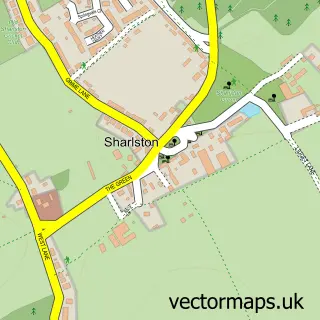
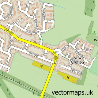
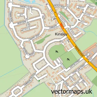
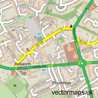
Nearby street map samples around Wragby

More street maps in West Yorkshire
750 metre map area coverage
Boundary, postcode and point of interest information for the 750m x 750m rectangle centred on this sample map.
Boundaries containing map centre
Constituency: Normanton and Hemsworth Co Const
District: Wakefield District (B)
Icb: NHS West Yorkshire ICB
Parish: Hessle and Hill Top CP
Police Force: west yorkshire
Postcode District: WF4
Postcode Sector: WF4 1
Ward: Ackworth, North Elmsall and Upton Ward
Nearby boundaries intersecting sample
Parish: Hemsworth CP, Huntwick with Foulby and Nostell CP
Ward: Hemsworth Ward
Postcode coverage
POI category counts
Church Cathedral: 2
Pet Boarding: 2
Pub: 2
Anglican Church: 1
Caterer: 1
Pet Services: 1
Sports Club And League: 1
Sample points of interest
- St Michael & Our Lady, Wragby
- St Oswald Cricket Club
- Church of St Michael and Our Lady
- Wragby Church
- Wragby Grange Daycare & Boarding
- Wragby Grange Dog Day Care | Dog Training | Boarding | Walking Services
- Wragby Grange K9 Boutique
- Spread Eagle Pub
- The Spread Eagle
- Nostell St Oswald Cricket Club
Create a larger editable map of Wragby
This sample shows only a 750 metre area. To create a larger map of Wragby, use our map builder to choose your own coverage area, add titles and download editable SVG, PDF and PNG files.
Create a custom map of Wragby