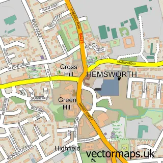
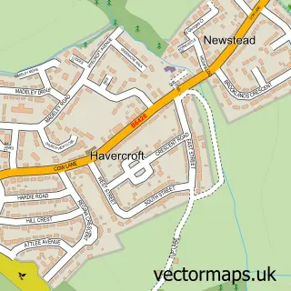
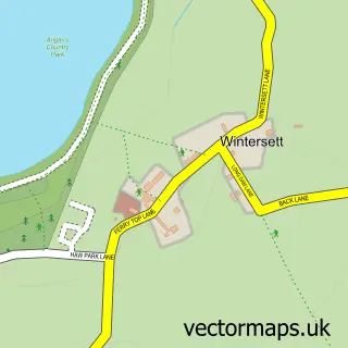
This Fitzwilliam street map is a detailed vector street map covering a 750m x 750m area. Select a larger area to create and download your own vector street map of Fitzwilliam.
The 750-metre map sample for Fitzwilliam covers 411 mapped buildings and approximately 16.1 km of road detail, of which 37 named roads are named. The immediate area includes 1 railway station, 2 GP surgeries within 2 miles and 7 MOT stations within 2 miles. The wider area around Fitzwilliam features 1 food and drink venue. To create a larger or custom map of Fitzwilliam, the map builder lets you define your own coverage area and download editable SVG, PDF and PNG files.
Create a larger editable map of Fitzwilliam
Choose any area you need and generate a high-quality vector map instantly. Perfect for print, planning, design, business and personal use.

This Fitzwilliam street map in West Yorkshire is available as downloadable SVG, PDF and PNG map files, or as a printed map for planning, business, display, education, local information and design work. You can also create a larger custom map area using the map selector.
What this Fitzwilliam map sample shows
Fitzwilliam lies within Hemsworth Cp parish, part of Hemsworth ward in the Wakefield District (B) local authority area. The postcode geography for this area includes the WF postcode area, the WF9 postcode district and the WF9 5 postcode sector. Residents fall under the Nhs West Yorkshire Integrated Care Board for NHS services.
Local features near Fitzwilliam
Within 2 milesAmenities and services in and around Fitzwilliam.
Administrative and postcode information for Fitzwilliam
Fitzwilliam lies within Hemsworth Cp parish, part of Hemsworth ward in the Wakefield District (B) local authority area. The postcode geography for this area includes the WF postcode area, the WF9 postcode district and the WF9 5 postcode sector. Residents fall under the Nhs West Yorkshire Integrated Care Board for NHS services.
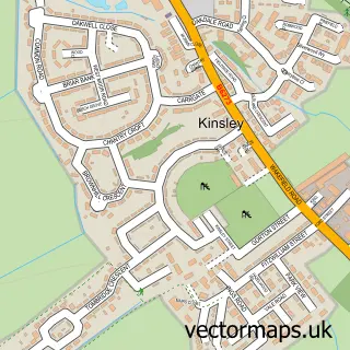
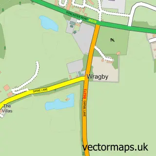
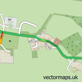
Nearby street map samples around Fitzwilliam

More street maps in West Yorkshire
750 metre map area coverage
Boundary, postcode and point of interest information for the 750m x 750m rectangle centred on this sample map.
Boundaries containing map centre
Constituency: Normanton and Hemsworth Co Const
District: Wakefield District (B)
Icb: NHS West Yorkshire ICB
Parish: Hemsworth CP
Police Force: west yorkshire
Postcode District: WF9
Postcode Sector: WF9 5
Ward: Hemsworth Ward
Nearby boundaries intersecting sample
No additional intersecting boundaries found.
Postcode coverage
POI category counts
Fast Food Restaurant: 2
Sports Club And League: 2
Tanning Salon: 2
Train Station: 2
Amateur Sports Team: 1
Anglican Church: 1
Atms: 1
Auto Customization: 1
Automotive Repair: 1
Barber: 1
Sample points of interest
- Hemsworth Miners Welfare Cricket Club
- Church of the Resurrection, Kinsley and Fitzwilliam
- Londis Fitzwilliam, Wakefield Road, Fitzwilliam
- RPM Remapping and Diagnostics
- RickyP-RPM
- No.1 cuts
- Coral
- Sandwich Bar
- A & C Transport Ltd.
- Oak Technology Ltd.
- The Kitchen, Fitzwilliam
- Jon Seal Sports Cars Ltd
Create a larger editable map of Fitzwilliam
This sample shows only a 750 metre area. To create a larger map of Fitzwilliam, use our map builder to choose your own coverage area, add titles and download editable SVG, PDF and PNG files.
Create a custom map of Fitzwilliam