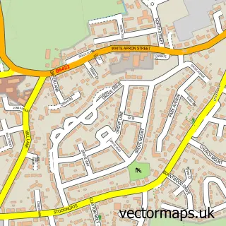
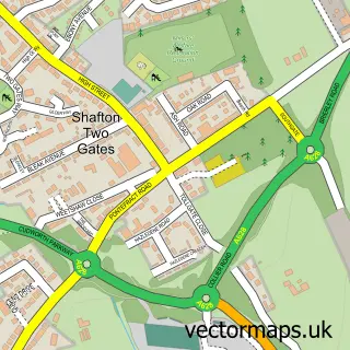
This Hemsworth street map is a detailed vector street map covering a 750m x 750m area. Select a larger area to create and download your own vector street map of Hemsworth.
The 750-metre map sample for Hemsworth covers 485 mapped buildings and approximately 17.9 km of road detail, of which 47 named roads are named. The immediate area includes 3 primary schools and 1 secondary school, 1 GP surgery, 7 pubs and 2 MOT stations, with 9 within 2 miles. The wider area around Hemsworth features 10 food and drink venues. To create a larger or custom map of Hemsworth, the map builder lets you define your own coverage area and download editable SVG, PDF and PNG files.
Create a larger editable map of Hemsworth
Choose any area you need and generate a high-quality vector map instantly. Perfect for print, planning, design, business and personal use.

This Hemsworth street map in West Yorkshire is available as downloadable SVG, PDF and PNG map files, or as a printed map for planning, business, display, education, local information and design work. You can also create a larger custom map area using the map selector.
What this Hemsworth map sample shows
Hemsworth lies within Hemsworth Cp parish, part of Hemsworth ward in the Wakefield District (B) local authority area. The postcode geography for this area includes the WF postcode area, the WF9 postcode district and the WF9 4 postcode sector. Residents fall under the Nhs West Yorkshire Integrated Care Board for NHS services.
Local features near Hemsworth
Within 2 milesAmenities and services in and around Hemsworth.
Administrative and postcode information for Hemsworth
Hemsworth lies within Hemsworth Cp parish, part of Hemsworth ward in the Wakefield District (B) local authority area. The postcode geography for this area includes the WF postcode area, the WF9 postcode district and the WF9 4 postcode sector. Residents fall under the Nhs West Yorkshire Integrated Care Board for NHS services.
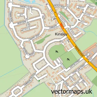
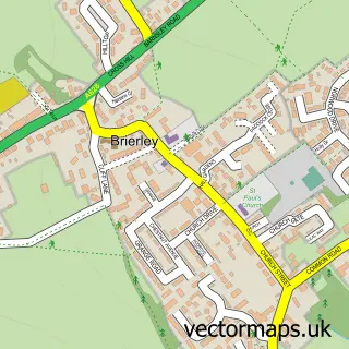
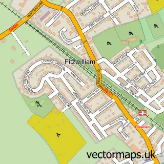
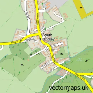
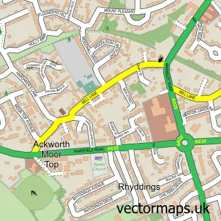
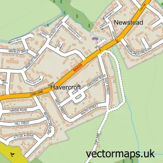
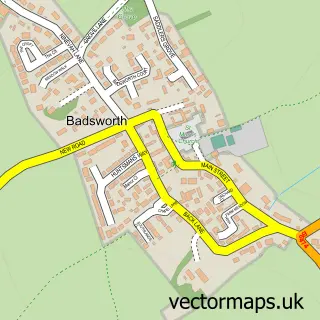
Nearby street map samples around Hemsworth

More street maps in West Yorkshire
750 metre map area coverage
Boundary, postcode and point of interest information for the 750m x 750m rectangle centred on this sample map.
Boundaries containing map centre
Constituency: Normanton and Hemsworth Co Const
District: Wakefield District (B)
Icb: NHS West Yorkshire ICB
Parish: Hemsworth CP
Police Force: west yorkshire
Postcode District: WF9
Postcode Sector: WF9 4
Ward: Hemsworth Ward
Nearby boundaries intersecting sample
Postcode Sector: WF9 5
Postcode coverage
POI category counts
Pub: 7
Beauty Salon: 6
Beauty And Spa: 4
Chinese Restaurant: 4
Hair Salon: 4
Indian Restaurant: 4
Professional Services: 4
Bar: 3
Barber: 3
Church Cathedral: 3
Sample points of interest
- Integra Yorkshire Ltd
- Hemsworth: S Helen
- 28a Supported Living
- ATM (Post Office)
- White Rose Credit Union
- PRO Sat Navs for Truck & Motorhome
- Carbon Alloy Wheel Refurbishment
- Sheltons Bakery
- Barclays Bank - Hemsworth
- Barclays Local
- George And Dragon
- Kings Head
Create a larger editable map of Hemsworth
This sample shows only a 750 metre area. To create a larger map of Hemsworth, use our map builder to choose your own coverage area, add titles and download editable SVG, PDF and PNG files.
Create a custom map of Hemsworth