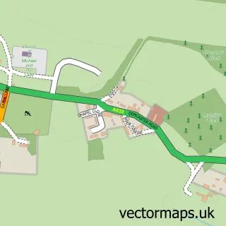
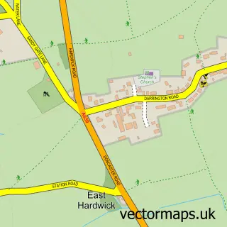
This Ackworth Moor Top street map is a detailed vector street map covering a 750m x 750m area. Select a larger area to create and download your own vector street map of Ackworth Moor Top.
The 750-metre map sample for Ackworth Moor Top covers 640 mapped buildings and approximately 20.9 km of road detail, of which 40 named roads are named. The immediate area includes 1 school, 1 GP surgery, 4 pubs and 6 MOT stations within 2 miles. The wider area around Ackworth Moor Top features 1 tourism point of interest and 9 food and drink venues. To create a larger or custom map of Ackworth Moor Top, the map builder lets you define your own coverage area and download editable SVG, PDF and PNG files.
Create a larger editable map of Ackworth Moor Top
Choose any area you need and generate a high-quality vector map instantly. Perfect for print, planning, design, business and personal use.

This Ackworth Moor Top street map in West Yorkshire is available as downloadable SVG, PDF and PNG map files, or as a printed map for planning, business, display, education, local information and design work. You can also create a larger custom map area using the map selector.
What this Ackworth Moor Top map sample shows
Ackworth Moor Top lies within Ackworth Cp parish, part of Ackworth, North Elmsall And Upton ward in the Wakefield District (B) local authority area. The postcode geography for this area includes the WF postcode area, the WF7 postcode district and the WF7 7 postcode sector. Residents fall under the Nhs West Yorkshire Integrated Care Board for NHS services.
Local features near Ackworth Moor Top
Within 2 milesAmenities and services in and around Ackworth Moor Top.
Administrative and postcode information for Ackworth Moor Top
Ackworth Moor Top lies within Ackworth Cp parish, part of Ackworth, North Elmsall And Upton ward in the Wakefield District (B) local authority area. The postcode geography for this area includes the WF postcode area, the WF7 postcode district and the WF7 7 postcode sector. Residents fall under the Nhs West Yorkshire Integrated Care Board for NHS services.
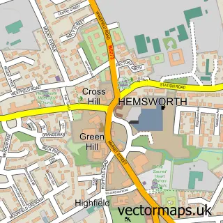
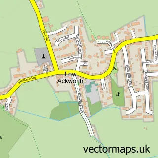
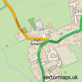
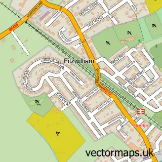
Nearby street map samples around Ackworth Moor Top

More street maps in West Yorkshire
750 metre map area coverage
Boundary, postcode and point of interest information for the 750m x 750m rectangle centred on this sample map.
Boundaries containing map centre
Constituency: Normanton and Hemsworth Co Const
District: Wakefield District (B)
Icb: NHS West Yorkshire ICB
Parish: Ackworth CP
Police Force: west yorkshire
Postcode District: WF7
Postcode Sector: WF7 7
Ward: Ackworth, North Elmsall and Upton Ward
Nearby boundaries intersecting sample
No additional intersecting boundaries found.
Postcode coverage
POI category counts
Beauty Salon: 5
Car Dealer: 4
Pub: 4
Gas Station: 3
Automotive Repair: 2
Cafe: 2
Chimney Sweep: 2
Coffee Shop: 2
Contractor: 2
Courier And Delivery Services: 2
Sample points of interest
- Ackworth
- Jewel Aquatics
- Snydale Care Home
- K-Tech
- Ackworth and Ferrybridge.
- CasMonkey Garage
- Jagcats
- The Lab Barbershop
- Envy beauty
- Face Envy
- Kerry P Permanent Makeup
- Scissor Happy Unisex Hair Salon
Create a larger editable map of Ackworth Moor Top
This sample shows only a 750 metre area. To create a larger map of Ackworth Moor Top, use our map builder to choose your own coverage area, add titles and download editable SVG, PDF and PNG files.
Create a custom map of Ackworth Moor Top