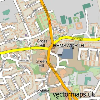
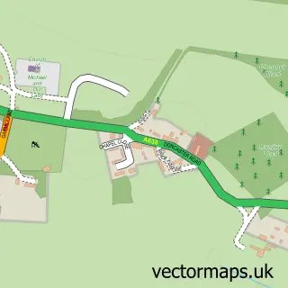
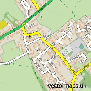
This Kinsley street map is a detailed vector street map covering a 750m x 750m area. Select a larger area to create and download your own vector street map of Kinsley.
The 750-metre map sample for Kinsley covers 527 mapped buildings and approximately 15.4 km of road detail, of which 41 named roads are named. The immediate area includes 2 GP surgeries within 2 miles and 2 MOT stations, with 9 within 2 miles. The wider area around Kinsley features 1 food and drink venue. To create a larger or custom map of Kinsley, the map builder lets you define your own coverage area and download editable SVG, PDF and PNG files.
Create a larger editable map of Kinsley
Choose any area you need and generate a high-quality vector map instantly. Perfect for print, planning, design, business and personal use.

This Kinsley street map in West Yorkshire is available as downloadable SVG, PDF and PNG map files, or as a printed map for planning, business, display, education, local information and design work. You can also create a larger custom map area using the map selector.
What this Kinsley map sample shows
Kinsley lies within Hemsworth Cp parish, part of Hemsworth ward in the Wakefield District (B) local authority area. The postcode geography for this area includes the WF postcode area, the WF9 postcode district and the WF9 5 postcode sector. Residents fall under the Nhs West Yorkshire Integrated Care Board for NHS services.
Local features near Kinsley
Within 2 milesAmenities and services in and around Kinsley.
Administrative and postcode information for Kinsley
The local authority covering Kinsley is Wakefield District (B), within the county of West Yorkshire. The settlement lies within Hemsworth ward and Hemsworth Cp civil parish. The WF9 postcode district and WF9 5 postcode sector serve the immediate area. NHS provision in the area is delivered through Mid Yorkshire Teaching Nhs Trust.
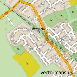
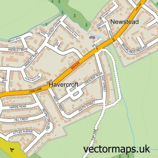
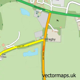
Nearby street map samples around Kinsley

More street maps in West Yorkshire
750 metre map area coverage
Boundary, postcode and point of interest information for the 750m x 750m rectangle centred on this sample map.
Boundaries containing map centre
Constituency: Normanton and Hemsworth Co Const
District: Wakefield District (B)
Icb: NHS West Yorkshire ICB
Parish: Hemsworth CP
Police Force: west yorkshire
Postcode District: WF9
Postcode Sector: WF9 5
Ward: Hemsworth Ward
Nearby boundaries intersecting sample
No additional intersecting boundaries found.
Postcode coverage
POI category counts
Convenience Store: 4
Social Service Organizations: 3
Post Office: 2
Professional Services: 2
Accommodation: 1
Airport Shuttles: 1
Appliance Repair Service: 1
Asian Restaurant: 1
Atms: 1
Automotive Repair: 1
Sample points of interest
- Keepmoat Kingswood
- PND Travel
- LCE Services Ltd
- Phoenix Garden
- Kinsley Premier Stores, Kinsley
- G.B. Autos Car Clinic
- Hoyle Mill M O T Centre
- Kinsley Hotel
- Betfred
- Reverse The Cycle
- Outgang Brewery
- D P Joinery
Create a larger editable map of Kinsley
This sample shows only a 750 metre area. To create a larger map of Kinsley, use our map builder to choose your own coverage area, add titles and download editable SVG, PDF and PNG files.
Create a custom map of Kinsley