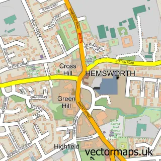
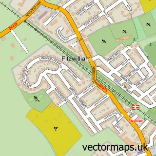
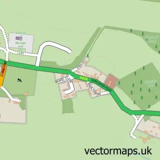
This Havercroft street map is a detailed vector street map covering a 750m x 750m area. Select a larger area to create and download your own vector street map of Havercroft.
The 750-metre map sample for Havercroft covers 438 mapped buildings and approximately 12.5 km of road detail, of which 27 named roads are named. The immediate area includes 4 MOT stations within 2 miles. The wider area around Havercroft features 1 tourism point of interest and 1 hotel. To create a larger or custom map of Havercroft, the map builder lets you define your own coverage area and download editable SVG, PDF and PNG files.
Create a larger editable map of Havercroft
Choose any area you need and generate a high-quality vector map instantly. Perfect for print, planning, design, business and personal use.

This Havercroft street map in West Yorkshire is available as downloadable SVG, PDF and PNG map files, or as a printed map for planning, business, display, education, local information and design work. You can also create a larger custom map area using the map selector.
What this Havercroft map sample shows
Havercroft lies within Havercroft With Cold Hiendley Cp parish, part of Crofton, Ryhill And Walton ward in the Wakefield District (B) local authority area. The postcode geography for this area includes the WF postcode area, the WF4 postcode district and the WF4 2 postcode sector. Residents fall under the Nhs West Yorkshire Integrated Care Board for NHS services.
Local features near Havercroft
Within 2 milesAmenities and services in and around Havercroft.
Administrative and postcode information for Havercroft
The local authority covering Havercroft is Wakefield District (B), within the county of West Yorkshire. The settlement lies within Crofton, Ryhill And Walton ward and Havercroft With Cold Hiendley Cp civil parish. The WF4 postcode district and WF4 2 postcode sector serve the immediate area. NHS provision in the area is delivered through Mid Yorkshire Teaching Nhs Trust.
Nearby street map samples around Havercroft

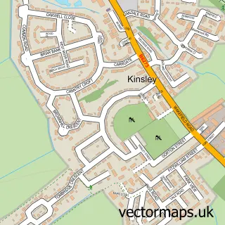
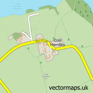
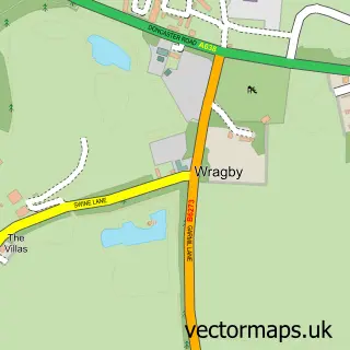
More street maps in West Yorkshire
750 metre map area coverage
Boundary, postcode and point of interest information for the 750m x 750m rectangle centred on this sample map.
Boundaries containing map centre
Constituency: Normanton and Hemsworth Co Const
District: Wakefield District (B)
Icb: NHS West Yorkshire ICB
Parish: Havercroft with Cold Hiendley CP
Police Force: west yorkshire
Postcode District: WF4
Postcode Sector: WF4 2
Ward: Crofton, Ryhill and Walton Ward
Nearby boundaries intersecting sample
Parish: Ryhill CP, South Hiendley CP
Postcode District: S72
Postcode Sector: S72 9
Ward: Hemsworth Ward
Postcode coverage
POI category counts
Convenience Store: 5
Building Supply Store: 2
Church Cathedral: 2
Pet Groomer: 2
Atms: 1
Beauty Salon: 1
Carpet Cleaning: 1
Community Center: 1
Contractor: 1
Courier And Delivery Services: 1
Sample points of interest
- Morrisons Daily - Wakefield Cow Lane, Havercroft
- Karen's nails & beauty
- P G Wright Electrical
- Sterry Roofing
- Bright Clean Carpet & Upholstery Cleaning
- St James Church Ryhill
- The Living Hope Church
- Rycroft Youth and Community Centre
- Ultraone Heating and Air Conditioning
- Family Shopper
- Mccolls
- Morrisons Daily
Create a larger editable map of Havercroft
This sample shows only a 750 metre area. To create a larger map of Havercroft, use our map builder to choose your own coverage area, add titles and download editable SVG, PDF and PNG files.
Create a custom map of Havercroft