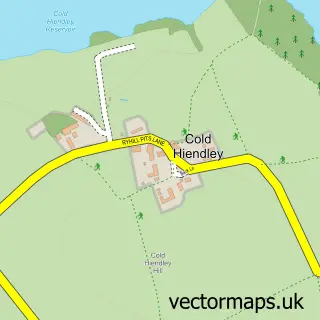
This South Hiendley street map is a detailed vector street map covering a 750m x 750m area. Select a larger area to create and download your own vector street map of South Hiendley.
The 750-metre map sample for South Hiendley covers 186 mapped buildings and approximately 7.6 km of road detail, of which 13 named roads are named. The immediate area includes 1 school, 1 GP surgery within 2 miles, 1 pub and 6 MOT stations within 2 miles. The wider area around South Hiendley features 1 tourism point of interest and 1 food and drink venue. To create a larger or custom map of South Hiendley, the map builder lets you define your own coverage area and download editable SVG, PDF and PNG files.
Create a larger editable map of South Hiendley
Choose any area you need and generate a high-quality vector map instantly. Perfect for print, planning, design, business and personal use.

This South Hiendley street map in West Yorkshire is available as downloadable SVG, PDF and PNG map files, or as a printed map for planning, business, display, education, local information and design work. You can also create a larger custom map area using the map selector.
What this South Hiendley map sample shows
South Hiendley lies within South Hiendley Cp parish, part of Hemsworth ward in the Wakefield District (B) local authority area. The postcode geography for this area includes the S postcode area, the S72 postcode district and the S72 9 postcode sector. Residents fall under the Nhs West Yorkshire Integrated Care Board for NHS services.
Local features near South Hiendley
Within 2 milesAmenities and services in and around South Hiendley.
Administrative and postcode information for South Hiendley
South Hiendley lies within South Hiendley Cp parish, part of Hemsworth ward in the Wakefield District (B) local authority area. The postcode geography for this area includes the S postcode area, the S72 postcode district and the S72 9 postcode sector. Residents fall under the Nhs West Yorkshire Integrated Care Board for NHS services.
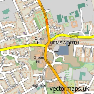
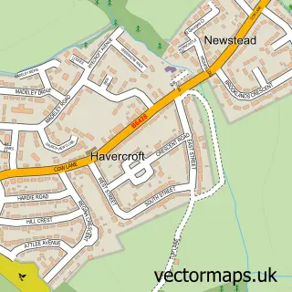
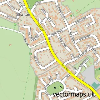
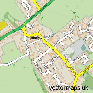
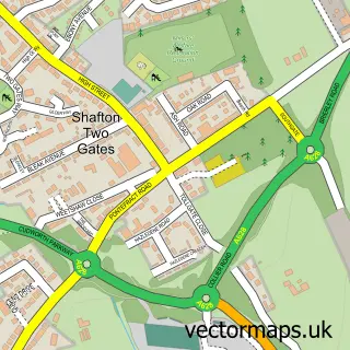
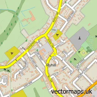
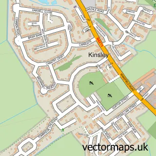
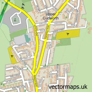
Nearby street map samples around South Hiendley

More street maps in West Yorkshire
750 metre map area coverage
Boundary, postcode and point of interest information for the 750m x 750m rectangle centred on this sample map.
Boundaries containing map centre
Constituency: Normanton and Hemsworth Co Const
District: Wakefield District (B)
Icb: NHS West Yorkshire ICB
Parish: South Hiendley CP
Police Force: west yorkshire
Postcode District: S72
Postcode Sector: S72 9
Ward: Hemsworth Ward
Nearby boundaries intersecting sample
No additional intersecting boundaries found.
Postcode coverage
POI category counts
Bar: 2
Appliance Store: 1
Auto Electrical Repair: 1
Beauty And Spa: 1
Building Supply Store: 1
Clothing Store: 1
Community Services Non Profits: 1
Doctor: 1
Driving School: 1
Elementary School: 1
Sample points of interest
- BOLD Kitchens
- Kent Alarms
- Sun Inn
- The Top Club South Hiendley
- The Treatment Room
- K & D Joinery
- Veritas Corporate Ltd
- The Exodus Project
- South Hiendley Surgery
- Steve Brown
- South Hiendley Primary School
- Barnsley Locksmith Solutions
Create a larger editable map of South Hiendley
This sample shows only a 750 metre area. To create a larger map of South Hiendley, use our map builder to choose your own coverage area, add titles and download editable SVG, PDF and PNG files.
Create a custom map of South Hiendley