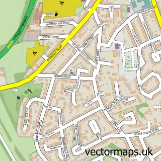
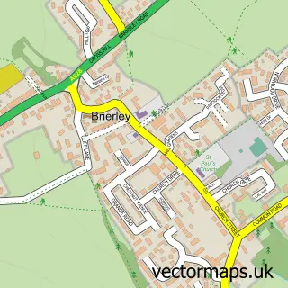
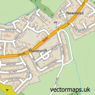
This Upper Cudworth street map is a detailed vector street map covering a 750m x 750m area. Select a larger area to create and download your own vector street map of Upper Cudworth.
The 750-metre map sample for Upper Cudworth covers 445 mapped buildings and approximately 17.2 km of road detail, of which 39 named roads are named. The immediate area includes 1 school, 6 GP surgeries within 2 miles, 1 pub and 10 MOT stations within 2 miles. The wider area around Upper Cudworth features 1 food and drink venue. To create a larger or custom map of Upper Cudworth, the map builder lets you define your own coverage area and download editable SVG, PDF and PNG files.
Create a larger editable map of Upper Cudworth
Choose any area you need and generate a high-quality vector map instantly. Perfect for print, planning, design, business and personal use.

This Upper Cudworth street map in South Yorkshire is available as downloadable SVG, PDF and PNG map files, or as a printed map for planning, business, display, education, local information and design work. You can also create a larger custom map area using the map selector.
What this Upper Cudworth map sample shows
Upper Cudworth lies within Barnsley District (B) parish, part of Cudworth ward in the Barnsley District (B) local authority area. The postcode geography for this area includes the S postcode area, the S72 postcode district and the S72 8 postcode sector. Residents fall under the Nhs South Yorkshire Integrated Care Board for NHS services.
Local features near Upper Cudworth
Within 2 milesAmenities and services in and around Upper Cudworth.
Administrative and postcode information for Upper Cudworth
The local authority covering Upper Cudworth is Barnsley District (B), within the county of South Yorkshire. The settlement lies within Cudworth ward and Barnsley District (B) civil parish. The S72 postcode district and S72 8 postcode sector serve the immediate area. NHS provision in the area is delivered through Barnsley Hospital Nhs Foundation Trust.
Nearby street map samples around Upper Cudworth

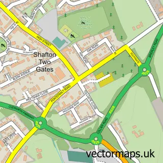
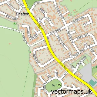
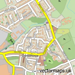
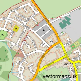
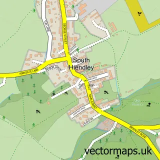
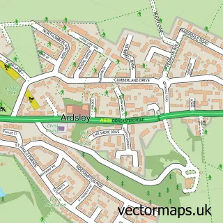
More street maps in South Yorkshire
750 metre map area coverage
Boundary, postcode and point of interest information for the 750m x 750m rectangle centred on this sample map.
Boundaries containing map centre
Constituency: Barnsley North Co Const
District: Barnsley District (B)
Icb: NHS South Yorkshire ICB
Police Force: south yorkshire
Postcode District: S72
Postcode Sector: S72 8
Ward: Cudworth Ward
Nearby boundaries intersecting sample
No additional intersecting boundaries found.
Postcode coverage
POI category counts
Hair Salon: 5
Beauty Salon: 3
Accountant: 2
Bar: 2
Contractor: 2
Automotive Repair: 1
Barber: 1
Business Office Supplies And Stationery: 1
Car Dealer: 1
Car Wash: 1
Sample points of interest
- Thorntons Accountants
- Upton & Co. Accountants
- Halls Auto Repair
- Dards
- Dards
- Marc's Barbers by Lisa
- Lash Lounge By Alena
- Lee Sweeney Hairdressing
- Pamperedandpolished
- Custom Consumables
- Dootson Motors
- Cudworth Car Wash
Create a larger editable map of Upper Cudworth
This sample shows only a 750 metre area. To create a larger map of Upper Cudworth, use our map builder to choose your own coverage area, add titles and download editable SVG, PDF and PNG files.
Create a custom map of Upper Cudworth