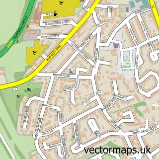
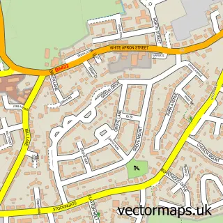
This Grimethorpe street map is a detailed vector street map covering a 750m x 750m area. Select a larger area to create and download your own vector street map of Grimethorpe.
The 750-metre map sample for Grimethorpe covers 364 mapped buildings and approximately 15.8 km of road detail, of which 38 named roads are named. The immediate area includes 3 GP surgeries, with 4 within 2 miles and 2 MOT stations, with 7 within 2 miles. The wider area around Grimethorpe features 2 food and drink venues. To create a larger or custom map of Grimethorpe, the map builder lets you define your own coverage area and download editable SVG, PDF and PNG files.
Create a larger editable map of Grimethorpe
Choose any area you need and generate a high-quality vector map instantly. Perfect for print, planning, design, business and personal use.

This Grimethorpe street map in South Yorkshire is available as downloadable SVG, PDF and PNG map files, or as a printed map for planning, business, display, education, local information and design work. You can also create a larger custom map area using the map selector.
What this Grimethorpe map sample shows
Grimethorpe lies within Barnsley District (B) parish, part of North East ward in the Barnsley District (B) local authority area. The postcode geography for this area includes the S postcode area, the S72 postcode district and the S72 7 postcode sector. Residents fall under the Nhs South Yorkshire Integrated Care Board for NHS services.
Local features near Grimethorpe
Within 2 milesAmenities and services in and around Grimethorpe.
Administrative and postcode information for Grimethorpe
Grimethorpe lies within Barnsley District (B) parish, part of North East ward in the Barnsley District (B) local authority area. The postcode geography for this area includes the S postcode area, the S72 postcode district and the S72 7 postcode sector. Residents fall under the Nhs South Yorkshire Integrated Care Board for NHS services.
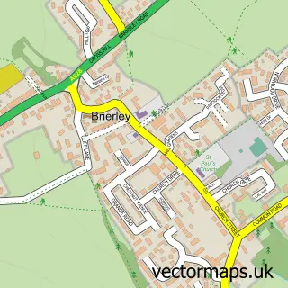
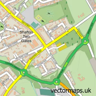
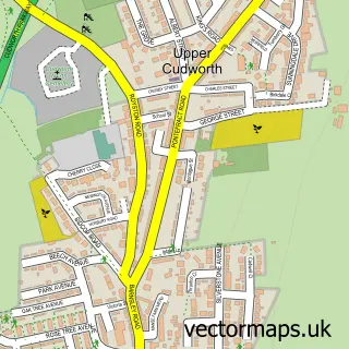
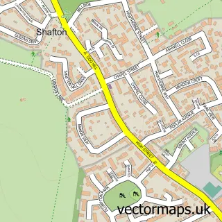
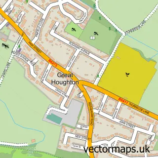
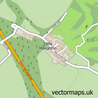
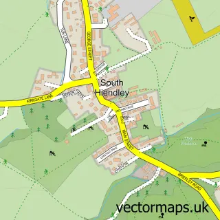
Nearby street map samples around Grimethorpe

More street maps in South Yorkshire
750 metre map area coverage
Boundary, postcode and point of interest information for the 750m x 750m rectangle centred on this sample map.
Boundaries containing map centre
Constituency: Barnsley North Co Const
District: Barnsley District (B)
Icb: NHS South Yorkshire ICB
Police Force: south yorkshire
Postcode District: S72
Postcode Sector: S72 7
Ward: North East Ward
Nearby boundaries intersecting sample
No additional intersecting boundaries found.
Postcode coverage
POI category counts
Doctor: 6
Beauty Salon: 5
Dentist: 4
Pizza Restaurant: 4
Atms: 3
Church Cathedral: 3
Professional Services: 3
Adult Education: 2
Barber: 2
Chinese Restaurant: 2
Sample points of interest
- Rich Accounting
- Acorn Centre
- Jade Training and Development
- St Luke the Evangelist, Grimethorpe
- Grimethorpe Colliery Band
- ATM (Post Office)
- PayPoint
- Payzone
- A & E Commercials
- Homefarm Bakery
- Copper Top Bar
- Daves Barbers
Create a larger editable map of Grimethorpe
This sample shows only a 750 metre area. To create a larger map of Grimethorpe, use our map builder to choose your own coverage area, add titles and download editable SVG, PDF and PNG files.
Create a custom map of Grimethorpe