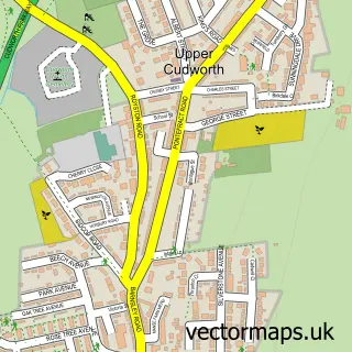
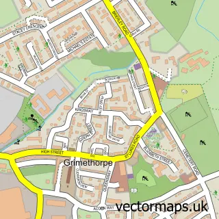
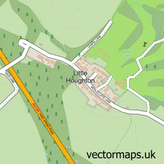
This Cudworth street map is a detailed vector street map covering a 750m x 750m area. Select a larger area to create and download your own vector street map of Cudworth.
The 750-metre map sample for Cudworth covers 582 mapped buildings and approximately 19.7 km of road detail, of which 47 named roads are named. The immediate area includes 7 GP surgeries within 2 miles, 1 pub and 2 MOT stations, with 10 within 2 miles. The wider area around Cudworth features 1 food and drink venue and 1 hotel. To create a larger or custom map of Cudworth, the map builder lets you define your own coverage area and download editable SVG, PDF and PNG files.
Create a larger editable map of Cudworth
Choose any area you need and generate a high-quality vector map instantly. Perfect for print, planning, design, business and personal use.

This Cudworth street map in South Yorkshire is available as downloadable SVG, PDF and PNG map files, or as a printed map for planning, business, display, education, local information and design work. You can also create a larger custom map area using the map selector.
What this Cudworth map sample shows
Cudworth lies within Barnsley District (B) parish, part of Cudworth ward in the Barnsley District (B) local authority area. The postcode geography for this area includes the S postcode area, the S72 postcode district and the S72 8 postcode sector. Residents fall under the Nhs South Yorkshire Integrated Care Board for NHS services.
Local features near Cudworth
Within 2 milesAmenities and services in and around Cudworth.
Administrative and postcode information for Cudworth
Cudworth lies within Barnsley District (B) parish, part of Cudworth ward in the Barnsley District (B) local authority area. The postcode geography for this area includes the S postcode area, the S72 postcode district and the S72 8 postcode sector. Residents fall under the Nhs South Yorkshire Integrated Care Board for NHS services.
Nearby street map samples around Cudworth

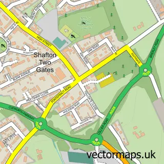
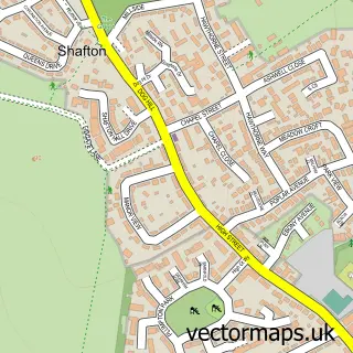
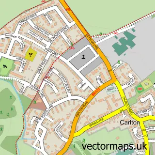
More street maps in South Yorkshire
750 metre map area coverage
Boundary, postcode and point of interest information for the 750m x 750m rectangle centred on this sample map.
Boundaries containing map centre
Constituency: Barnsley North Co Const
District: Barnsley District (B)
Icb: NHS South Yorkshire ICB
Police Force: south yorkshire
Postcode District: S72
Postcode Sector: S72 8
Ward: Cudworth Ward
Nearby boundaries intersecting sample
Postcode District: S71
Postcode Sector: S71 5
Postcode coverage
POI category counts
Beauty Salon: 9
Atms: 3
Automotive Repair: 3
Tattoo And Piercing: 3
Assisted Living Facility: 2
Bicycle Shop: 2
Church Cathedral: 2
Community Center: 2
Retail: 2
Veterinarian: 2
Sample points of interest
- St John the Baptist
- Sarah's Snuggles
- Prospect House Care Home
- Sunnywell
- PayPoint
- PayPoint
- The Cooperative Food (BF) Cudworth, Cudworth
- No.1 Bodyshop
- Performance Direct
- F1-Bodyshop
- Unipart Car Care Centre
- Wilson Motors
Create a larger editable map of Cudworth
This sample shows only a 750 metre area. To create a larger map of Cudworth, use our map builder to choose your own coverage area, add titles and download editable SVG, PDF and PNG files.
Create a custom map of Cudworth