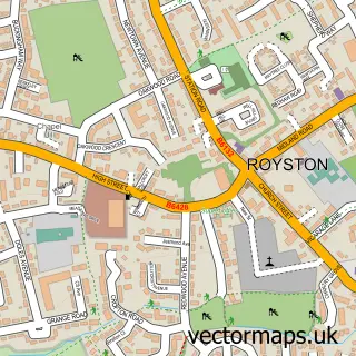
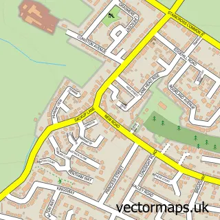
This Carlton street map is a detailed vector street map covering a 750m x 750m area. Select a larger area to create and download your own vector street map of Carlton.
The 750-metre map sample for Carlton covers 447 mapped buildings and approximately 14.6 km of road detail, of which 36 named roads are named. The immediate area includes 1 primary school and 1 secondary school, 5 GP surgeries within 2 miles, 2 pubs and 14 MOT stations within 2 miles. The wider area around Carlton features 2 food and drink venues. To create a larger or custom map of Carlton, the map builder lets you define your own coverage area and download editable SVG, PDF and PNG files.
Create a larger editable map of Carlton
Choose any area you need and generate a high-quality vector map instantly. Perfect for print, planning, design, business and personal use.

This Carlton street map in South Yorkshire is available as downloadable SVG, PDF and PNG map files, or as a printed map for planning, business, display, education, local information and design work. You can also create a larger custom map area using the map selector.
What this Carlton map sample shows
Carlton lies within Barnsley District (B) parish, part of Monk Bretton ward in the Barnsley District (B) local authority area. The postcode geography for this area includes the S postcode area, the S71 postcode district and the S71 3 postcode sector. Residents fall under the Nhs South Yorkshire Integrated Care Board for NHS services.
Local features near Carlton
Within 2 milesAmenities and services in and around Carlton.
Administrative and postcode information for Carlton
The local authority covering Carlton is Barnsley District (B), within the county of South Yorkshire. The settlement lies within Monk Bretton ward and Barnsley District (B) civil parish. The S71 postcode district and S71 3 postcode sector serve the immediate area. NHS provision in the area is delivered through Barnsley Hospital Nhs Foundation Trust.
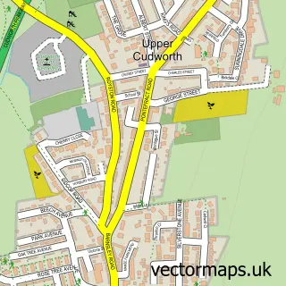
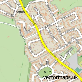
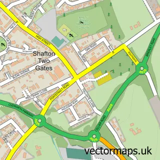
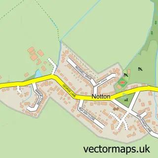
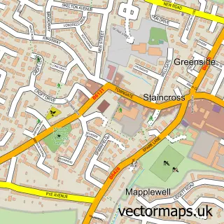
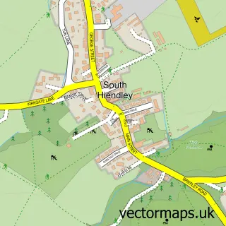
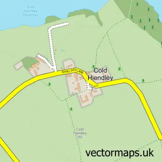
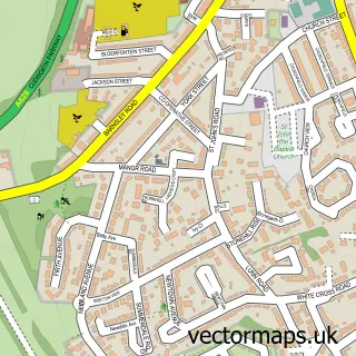
Nearby street map samples around Carlton

More street maps in South Yorkshire
750 metre map area coverage
Boundary, postcode and point of interest information for the 750m x 750m rectangle centred on this sample map.
Boundaries containing map centre
Constituency: Barnsley North Co Const
District: Barnsley District (B)
Icb: NHS South Yorkshire ICB
Police Force: south yorkshire
Postcode District: S71
Postcode Sector: S71 3
Ward: Monk Bretton Ward
Nearby boundaries intersecting sample
Postcode Sector: S71 4
Ward: Royston Ward, St. Helens Ward
Postcode coverage
POI category counts
Beauty Salon: 4
It Service And Computer Repair: 2
Pub: 2
Accountant: 1
Anglican Church: 1
Bakery: 1
Building Contractor: 1
Building Supply Store: 1
Candy Store: 1
Car Dealer: 1
Sample points of interest
- David Adamson Accountant
- St John the Evangelist Church Carlton
- Baked by Nell
- Beauty by Isabel
- Leona at The Hair Room
- You Beauty
- You Beauty By Rachel Bates
- Absolute Maintenance Ltd.
- Resitex
- The Top Shop Carlton
- Tom at G-Force Motors
- Physical-Futures Resource Centre
Create a larger editable map of Carlton
This sample shows only a 750 metre area. To create a larger map of Carlton, use our map builder to choose your own coverage area, add titles and download editable SVG, PDF and PNG files.
Create a custom map of Carlton