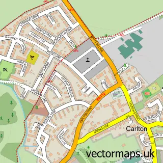
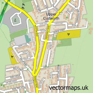
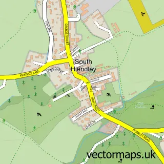
This Royston street map is a detailed vector street map covering a 750m x 750m area. Select a larger area to create and download your own vector street map of Royston.
The 750-metre map sample for Royston covers 608 mapped buildings and approximately 19.3 km of road detail, of which 50 named roads are named. The immediate area includes 2 schools, 1 GP surgery, with 3 within 2 miles, 3 pubs and 7 MOT stations within 2 miles. The wider area around Royston features 7 food and drink venues. To create a larger or custom map of Royston, the map builder lets you define your own coverage area and download editable SVG, PDF and PNG files.
Create a larger editable map of Royston
Choose any area you need and generate a high-quality vector map instantly. Perfect for print, planning, design, business and personal use.

This Royston street map in South Yorkshire is available as downloadable SVG, PDF and PNG map files, or as a printed map for planning, business, display, education, local information and design work. You can also create a larger custom map area using the map selector.
What this Royston map sample shows
Royston lies within Barnsley District (B) parish, part of Royston ward in the Barnsley District (B) local authority area. The postcode geography for this area includes the S postcode area, the S71 postcode district and the S71 4 postcode sector. Residents fall under the Nhs South Yorkshire Integrated Care Board for NHS services.
Local features near Royston
Within 2 milesAmenities and services in and around Royston.
Administrative and postcode information for Royston
The local authority covering Royston is Barnsley District (B), within the county of South Yorkshire. The settlement lies within Royston ward and Barnsley District (B) civil parish. The S71 postcode district and S71 4 postcode sector serve the immediate area. NHS provision in the area is delivered through Barnsley Hospital Nhs Foundation Trust.
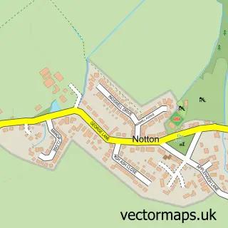
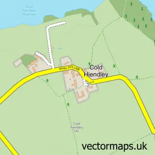
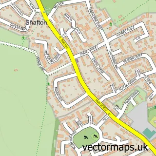
Nearby street map samples around Royston

More street maps in South Yorkshire
750 metre map area coverage
Boundary, postcode and point of interest information for the 750m x 750m rectangle centred on this sample map.
Boundaries containing map centre
Constituency: Barnsley North Co Const
District: Barnsley District (B)
Icb: NHS South Yorkshire ICB
Police Force: south yorkshire
Postcode District: S71
Postcode Sector: S71 4
Ward: Royston Ward
Nearby boundaries intersecting sample
No additional intersecting boundaries found.
Postcode coverage
POI category counts
Beauty Salon: 7
Elementary School: 4
Gym: 4
Pub: 3
Assisted Living Facility: 2
Beauty And Spa: 2
Building Supply Store: 2
Cafe: 2
Carpet Store: 2
Church Cathedral: 2
Sample points of interest
- B&M Accounting
- Solutions Focused Acupuncture
- Barnsley Hypnosis & Counselling
- Home Farm Crafts
- Anchor - Oakwood Grange care home
- Anchor - Oakwood Grange care home
- The Cooperative Food (BF) Royston - Yorks (ERF), Royston
- Lion Autos Ltd
- CherryCakes
- NatWest
- BEST CUTZ barbers
- Haute Complexion
Create a larger editable map of Royston
This sample shows only a 750 metre area. To create a larger map of Royston, use our map builder to choose your own coverage area, add titles and download editable SVG, PDF and PNG files.
Create a custom map of Royston